My right-seat passenger has become quiet, so I ask how she is doing. From our Cirrus, the view of the Mojave Desert seems infinite, and my question has interrupted her contemplation. “I’m taking it all in,” she explains while pointing her camera lens out the window. “I’ve never seen the desert from this angle before. You can see the patterns of time. It’s breathtaking, in a whole new way.” I apply left pressure on the sidestick as we make a leisurely orbit. Neither of us says a word.
One of the most rewarding things to do as a pilot is take nonpilots flying. Aviators know well the allure of the sky, but traveling in a GA aircraft is an eye-opener for a first-timer. The fresh perspective can, in turn, inspire a seasoned pilot to see flying in a new light too. I’m glad to have Karen Hutton, an accomplished landscape photographer, along for this trip. My photography specialty is air-to-air, and Karen’s eye for shooting terra firma is a good complement. Pilots love to talk airspeeds, and photographers love to talk shutter speeds. The next few days will be an intersection of aviation, travel and our shared passion for capturing moments.
The Mojave Desert is synonymous with test pilots, experimental aircraft and research in aerospace. It’s a Wild West of aviation where boundaries are pushed, evidenced by a desert littered with wrecks that include a B-58 Hustler, F-101 Voodoo and B-47 Stratojet. Edwards Air Force Base conjures lurid images of X-Planes, and its 15,000-foot runway served as a landing site for the space shuttle. Today, Edwards is home to the Air Force Flight Test Center and Pilot School and NASA’s Armstrong Flight Research Center. The Mojave Air and Space Port is the only private airport in the U.S. with a commercial spaceflight license; it’s where Scaled Composites and Virgin Galactic run their human spaceflight program.
City
My adventure with Karen began with several no-go days for weather; the red wind barbs on ForeFlight were above my comfort level. When the desert air calmed down, we loaded our rental SR20 from Cal Air with photography gear and climbed out of Southern California’s Torrance Airport. Our general plan was to explore the Mojave Desert, but we kept the exact itinerary open.
“Special flight rules, Cirrus, northwest bound, 4,500, over oil refineries,” I self-announce on 128.55 as we enter the LAX VFR corridor, a safe haven through the Bravo airspace. To our left, we see Catalina Island, a popular fly-in destination off the coast, and to the right, the skyscrapers of downtown Los Angeles jut out from the urban sprawl. Below, airliners taxiing at LAX resemble a video game. We detour along the Malibu shore before turning inland.
Desert
From a distance, you can spot the white turbines of the Tehachapi Pass Wind Farm just west of Mojave. Closer, rows of slumbering giants become evident as the airliner boneyard appears. We land on 08, a runway that has greeted many extraordinary aircraft over the years. This is the kind of airport where you never know what you might see, but you know it will be fascinating. We park One Zulu Echo next to a black-and-white A-4L Skyhawk and enjoy breakfast at the Spaceport Cafe. Later, we get an up-close look at WhiteKnightTwo, a Burt Rutan creation.
Upon departure, I request clearance into restricted areas R-2515 and R-2524, and Joshua Approach approves. With each mile the Cirrus moves us, an increasingly desolate high desert unfolds. Out here, distances by car are grueling; we appreciate our perch in the sky even more. Turning north up Death Valley, our excitement rises as the terrain lowers. The 40-mile-long salt pan that covers the national park comes into view. This is a world of extremes: It’s the lowest, driest and hottest place in North America. In 1972, a ground temperature of 201 degrees Fahrenheit was recorded, but on this winter day, the air is cool and dry.
Furnace Creek (L06) is 211 feet below sea level, and we grin as the altimeter dips below zero on final. We arrive to an empty ramp and improvise with medium-size rocks as chocks. The small pilot room has a landline to call the Furnace Creek Resort for a pickup.
This evening, the Las Vegas Astronomical Society is hosting its biannual Star Party on the airstrip ramp. Peering into massive telescopes, Karen and I are treated to a view of Jupiter and its four largest moons, the same sight Galileo Galilei first observed in 1610. This celestial outlook puts our weekend excursion into perspective.
Sunrise greets us with a striking pastel sky that seems to stretch forever. It’s a photographer’s paradise. We wander around the airstrip, the morning stillness punctuated only by the click of our shutters and a lone coyote as it scurries across the runway into the low brush. Without warning, the tattered, dusty windsock suddenly comes alive, and fast-moving clouds mute our golden light. It’s time to go. We back-taxi down the runway for a takeoff on 23. At such a low-density altitude, the Cirrus performs even better than usual. I rock our wings as a parting gesture once we climb past sea level.
With each foot of altitude gained, the horizon pushes back farther, and we are reinvigorated with the freedom of flying. The barren view gives the sense that we have the sky all to ourselves. We climb over the Amargosa Range into Nevada and then turn southeast. More often than not, a photo-worthy land formation appears, and we circle to capture every angle.
Jean Airport (0L7), under the Las Vegas Class Bravo shelf, will be our next pit stop. On final to Runway 20R, our right wingtip points at the Gold Strike casino while our left points at a prison. It’s a bizarre juxtaposition of an airport — a symbol of freedom — next to inmates, but in the Mojave Desert, you expect the unexpected. (A sign inside the FBO sternly warns in large bold font: “Don’t overfly the prison. You will make some armed guard very nervous.”)
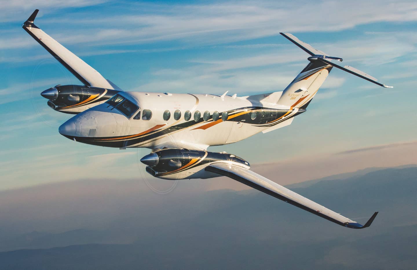
We fill our tanks at the self-serve fuel pumps, and then we’re airborne again. The runway heading has us aimed at Barstow-Daggett Airport (KDAG), 90 nm southwest. En route, a large, highly reflective array of solar panels (marked as “Solar Farm — Ocular Glare” on the sectional chart) is impossible to miss. Like many airports in this area, Daggett is always an interesting stop, even if you don’t have a reason to be there. We touch down on 26, followed by a King Air with “United States of America” written across its white fuselage. The most impressive feature on the airfield is the 55,000-square-foot Hangar Shed No. 4. Built in 1933 and used during Word War II as an aircraft-modification center, the open-sided design could accommodate up to 36 aircraft at once.
These days, the hangar’s wood is weathered, and its white paint is peeling. The two brothers who run Daggett Aviation tell us it could fall down at any time, “perhaps during the next big wind.” But it’s calm at the moment, so I position the Cirrus on the cracked concrete floor of Bay No. 22. Rays of light squeeze through exposed beams, and we set up tripods among the tumbleweeds for an impromptu photo session.
The King Air departs, military Blackhawks come and go, and unwary pigeons squawk in the rafters; otherwise, we have the place to ourselves. This ghost town of sorts is creepy but intriguing, and we wonder about the remarkable aircraft that may have also parked in this bay.
Water
Time passes fast, and we’ve been on the ground longer than expected. Weather dictates that we head south, so we launch for Jacqueline Cochran Regional Airport (KTRM), known to most by its former name, Thermal, not far from Palm Springs in Imperial Valley. Jagged terrain makes for a turbulent ride, and we have to put our cameras down for this leg. I log another below-sea-level landing, this one at minus 115 feet. The jet-lined ramp and red-carpet treatment at Signature’s pristine FBO is a culture shock from the grungy, lonely desert — a reminder of how quickly an airplane can transport you from one world to another. We borrow the crew car for the night and turn in early.
Pre-dawn, our Cirrus waits obligingly next to a Citation Sovereign. Once again, it’s a climb to reach sea level, and in the peaceful morning air, we spot several hot-air balloons. We fly racetrack patterns along the Salton Sea, a shallow, saline lake. The rising sun pierces through a high, thin and scattered layer, reflecting brightly off the water’s smooth, undisturbed surface. Our memory cards are reaching capacity, and we head north with Owens Valley in mind. Over Joshua Tree National Park, the houses and streets below give way to the immeasurable desert view. The sky is ours again.
Mountains
Victorville (KVCV), officially named Southern California Logistics Airport, passes underneath, and we bank steeply to focus our lenses on the sleeping airliners in the boneyard. Moments later, we are again cleared into restricted airspace R-2515. From a far distance, the tan patch that is Rogers Dry Lake stands out from its darker brown surroundings; Edwards AFB is easy to spot. After giving Approach a heads-up, we orbit abeam the base and take photos of the compass rose and runways etched into the dry lake bed.
The weather has cleared in Owens Valley by the time we arrive. Flying north, the Sierra Nevada mountain peaks lighten from brown to snow-dusted to solid white. Again we have rapidly arrived into a new reality. This looks closer to a scene from Alaska, but it’s 200 miles outside Los Angeles. Below, Owens Lake, which once had bustling ports but is now a dusty salt flat, looks like a quilt patched together with lopsided pieces of orange and red fabric.
Our wheels make contact with a bumpy Runway 34 at Lone Pine Airport (O26), and we top off at the pump next to the FBO, a small, woodsy cabin. The backdrop of Mount Whitney dwarfs us. Reaching 14,505 feet, it is the highest summit in the contiguous U.S., and its eastern slope rises dramatically against the valley floor.
“Gauges green, airspeed alive, 67 rotate.” By now Karen is familiar with my cockpit routine. Our wheels are off the ground, and we’re homeward bound. With 10.8 hours added to my logbook and gigabytes of image files on our hard drives, we are back in the Los Angeles basin. Our Wild West expedition over city, desert, water and mountains was not via straight lines or airways. We devised our own circuitous route that, if plotted on a sectional chart, would look puzzling with zigzags and loops. But to paraphrase words written by Robert Frost, “that made all the difference.”

Sign-up for newsletters & special offers!
Get the latest FLYING stories & special offers delivered directly to your inbox

