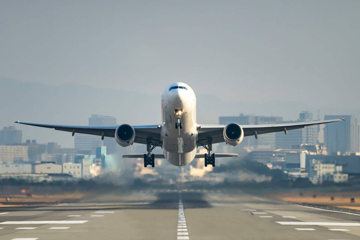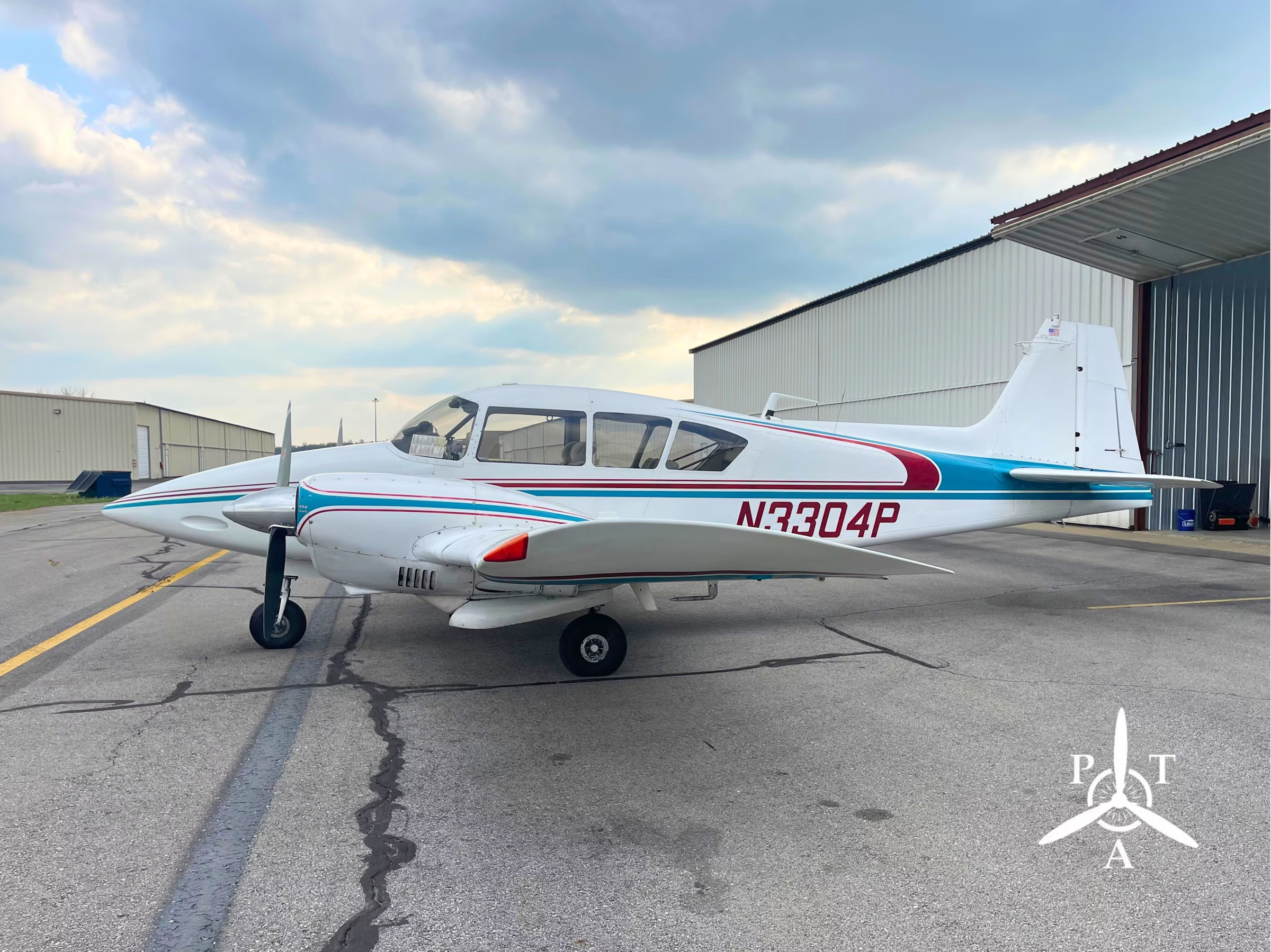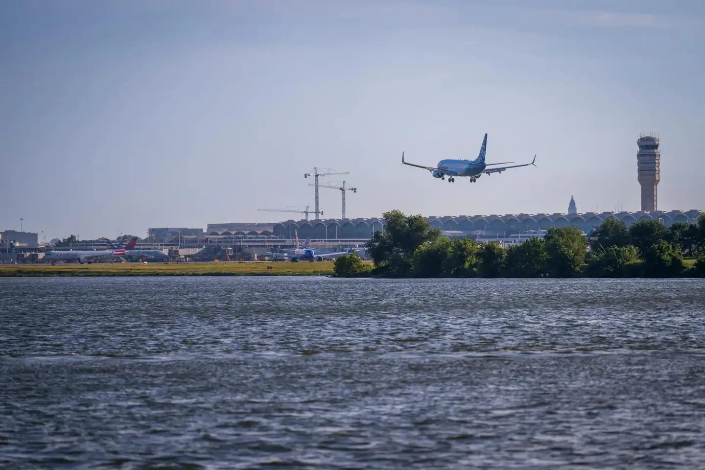
Sometimes the punishment is out of proportion to the crime. [Mike Chappazo/Shutterstock]
On a Sunday morning in April 2004, an air-ambulance helicopter approaching to land in VFR conditions found a blanket of fog forming over the Ukiah Municipal Airport (KUKI) in California. The automatic surface-observation system reported a 100-foot overcast and visibility between 1 and 1¾ miles. The ATP-rated pilot obtained a clearance for the localizer approach to Runway 15. In VMC at the north end of the fog bank, he dropped down to see if he could get a glimpse of the runway. He couldn’t. Concluding that the report of a 100-foot overcast was correct, he flew over the airport at 1,500 feet msl and estimated that the tops of the unbroken layer were at 1,300 feet.
Monitoring the unicom frequency, he heard the pilot of a Piper Saratoga announce that he was preparing to depart from Ukiah’s Runway 33. The helicopter pilot inquired about the weather conditions, and the Saratoga pilot confirmed that the ceiling was 100 feet or so and that there were no breaks. He added that he was going to Willows, a town 60 miles to the east, for coffee and was departing VFR.
The helicopter pilot proceeded to a helipad 10 miles distant, where he received news that an airplane had just crashed at Ukiah, blocking the major north-south highway, US 101.
Ukiah (rhymes with “you fly a”) is located in a valley in the coast range, 100 miles north of San Francisco and 26 miles from the Pacific Ocean. The airport is at the south end of town, at an elevation of 614 feet msl. Immediately to the west of it, a ridge rises to 2,600 feet; east of the airport, the valley bottom is flat for about 3 miles. Beyond that point, another ridge rises to nearly 4,000 feet. To the south, the terrain elevation increases rapidly; to the north, the rise is more gradual.
Several witnesses observed the departure of the Saratoga. Although the pilot originally announced his intention to use Runway 33—which is the preferred runway for IFR departures because the climb angle required for terrain clearance is half that for Runway 15—he in fact took off to the south. He turned west, then back eastward. The sound of the engine was steady. It is unclear from the accident report whether the witness reports of the airplane’s changes of direction were based on sightings or on the sound of the engine, but the latter is more likely. The sight of an airplane maneuvering less than 100 feet above the ground would probably have elicited more-vivid commentary from the witnesses themselves, or from the author of the report, or both.
About two minutes after taking off, the Saratoga, now heading south, clipped the top of a 15-foot-tall pear tree in an orchard 1,500 feet east of the departure end of Runway 15. It struck the ground and slid 200 feet, crossing the northbound lanes and the median of the highway before coming to rest in the southbound lanes. The airplane was demolished and the pilot killed.
The National Transportation Safety Board concluded that the 300-hour pilot, 61—who did not have an instrument rating but had logged seven hours of simulated instrument time—had intentionally flown into instrument conditions and become disoriented. Like a person lost in the woods, he had apparently gone in a big circle, ending up not far from where he started.
Read More from Peter Garrison: Aftermath
The NTSB interviewed the pilot’s instructor, who related that he had once admonished the pilot for flying a school Cessna 172, in which he was getting his primary training, out of the local area without the instructor’s approval. The NTSB sometimes adduces information of this type to a report, usually in order to establish a pattern of recklessness—or, to put it kindly, adventurousness—in the pilot. The flight in question involved traveling a couple hundred miles over mountainous terrain to the northern coast. If the pilot would make that flight as a student just beginning to do solo cross-countries, it is not hard to believe that with 300 hours under his belt—not to mention the mere seven hours of simulated instruments—he might try something a little more transgressive: punching through a thin overcast without a clearance. Indeed, the airplane was registered in the name Gypsy Flyer (the title of a series of flying yarns first published in 1928 and suggestive, in this context, of a freewheeling and adventurous attitude toward oneself and one’s airplane). There was something devil-may-care too in the pilot’s stated intention to take off VFR under a 100-foot ceiling merely in order to get a cup of joe.
The airplane was based in Ukiah, and the pilot was presumably familiar with the local geography and weather patterns. The helicopter pilot did not, so far as we know, tell the Saratoga pilot that the tops were at 1,300, but he could have guessed as much. The fog layer, therefore, was only 600 feet deep, and the turbocharged Saratoga, with only one person aboard, would have made short work of it. If so, his decision to take off southward—the wind was 160 at 3 knots, no obstacle to taking off on Runway 33—and then turn westward, toward the nearby ridge, is baffling. Did the pilot find himself in the soup so suddenly after takeoff that the initial turn was inadvertent?
Or did he not intend to enter the overcast at all, but thought that he could scoot across the countryside east of Ukiah just below the clouds until he came into the clear farther north? If so, he underestimated the difficulty of flying just below clouds without straying into them when trees are reaching up toward you from below.
Not all pilots are Scouts, and climbs without a clearance though a thin overcast or stratus layer are probably pretty common. We can’t know how common, except anecdotally, because most are successful. For a scofflaw, an instrument rating may be desirable, but in a pinch, an autopilot does as well. From time to time, though, a brief plunge into cloud—just a minute or two—goes terribly awry. Why? The illusions that invade the mind in blind flying are well-known, and the sensations of real instrument flying can be quite different from those felt in a simulator. In this case, the pilot probably never intended to fly in a circle and certainly did not intend to go downward rather than up. Somehow, in those few seconds, total confusion took over. The instruments were there, telling him his heading, speed, rate of climb, attitude, altitude—everything he needed to know. But somehow, in some way he never imagined, none of it made any sense. He had the information, but he couldn’t use it. And so he joined the vast number of pilots who underestimated the power of a cloud.
The overcast persisted for another hour and then began to break up. By 10 a.m., the field was VFR, and there was still coffee in Willows.
An Innocuous Scenario
A few years ago, a pilot took off from Santa Paula Airport in California—another airport located in a valley with a high ridge nearby—and like the Ukiah pilot, he inexplicably turned toward the mountain. Unlike the Ukiah pilot, he did not then reverse direction. Instead, moments later, he slammed into the mountainside. A longtime resident of the area, he knew the terrain well; every pilot who flies the Santa Paula traffic pattern, which is on the mountain’s side of the airport, is aware of the queer feeling of turning crosswind toward that looming wall. Like the Ukiah pilot, this one was departing without a clearance; like him, he was on a mission to a nearby destination that could have waited an hour or two. Having an airplane, and being able to fly one, seems to confer on some people a sense that they can vault over minor obstacles—such as rules—without fear. Fear, however, is not useless, and neither are rules. Both are there to protect us from ourselves.
This story appeared in the April/May 2021 issue of Flying Magazine

Sign-up for newsletters & special offers!
Get the latest FLYING stories & special offers delivered directly to your inbox


