The odd case of a Boeing 747 Dreamlifter mistakenly landing at Wichita's Jabara Airport instead of its intended destination, McConnell Air Force Base about 7 miles to the south, wasn't the first time the crew of a mammoth jet made such a colossal positional error.
You might remember our story last year about a C-17 bound for MacDill Air Force Base in Florida that mistakenly landed at the much smaller Peter O. Knight Airport in Tampa. In 2004 at the Farnborough Airshow, I watched as a U.S. B-52 bomber that was supposed to perform a low pass missed the airport and instead did a fly-by at unsuspecting Blackbushe Airport five miles away.
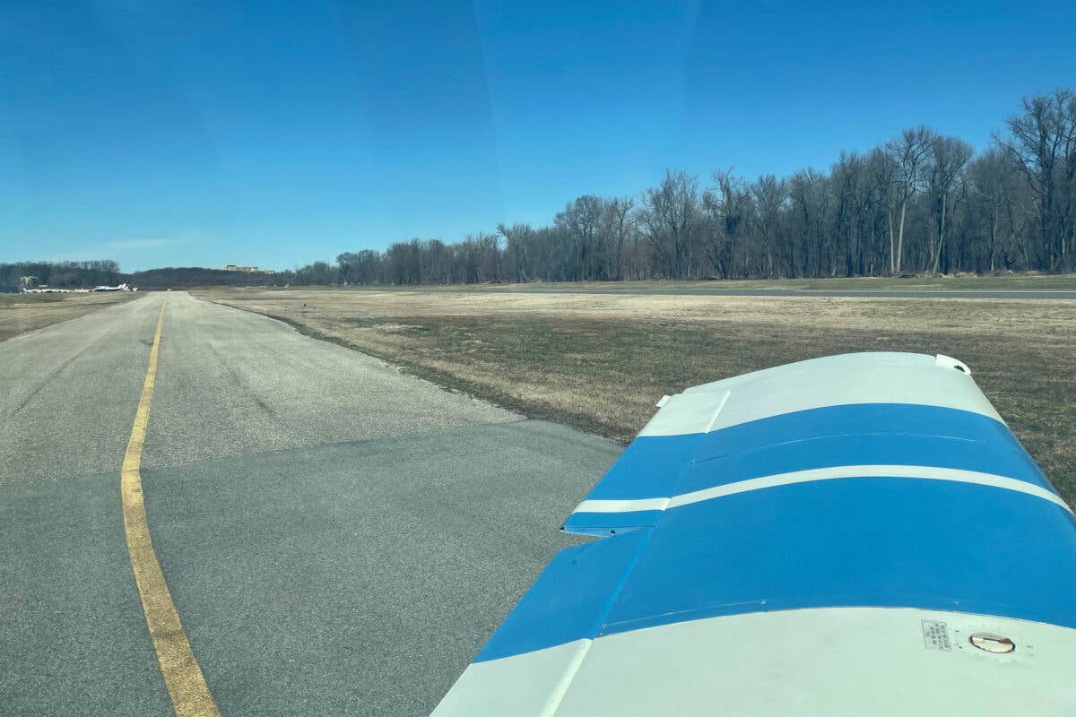
What’s all the more disturbing about this latest episode of "Lost" is how long it took the Dreamlifter crew to determine where they had actually landed, even after they had come to a stop on the wrong runway — in this case, Jabara's 6,100-foot Runway 18.
For several minutes the 747 pilots and McConnell controllers relayed lat/long information back and forth, presumably taken from the Dreamlifter’s flight management system. For a while, the 747 pilots think they are at nearby Beech Field. When the pilot tells the McConnell controller that a twin just aborted its approach and passed over him, the controller sees the airplane on radar at Jabara Airport and relays that information. Finally, the 747 pilot fesses up over the radio that the crew simply asked somebody at the airport where they were.
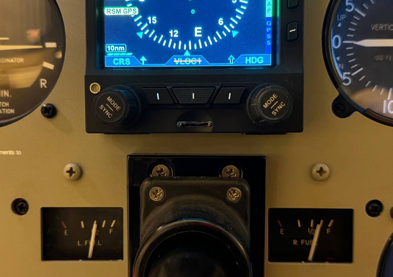
What’s truly amazing to me is that this sort of blunder would never happen in the airplanes many of us fly. The map view on the Garmin G1000 avionics system in my Diamond DA40 leaves zero doubt about exactly what airport I’m headed for, including helpful dashed lines emanating from the approach courses to all runways.
Once I’ve landed, the G1000 SafeTaxi system automatically reverts to an airport diagram view with an unmistakable position indictor showing exactly where I am on the runway or taxiway to within a few feet. Even without this unambiguous presentation, had I somehow landed at the wrong airport it wouldn't take me long to determine my location. I would simply look down at the ForeFlight map display on my iPad or power on my smartphone and call up any of a dozen mapping apps.
Clearly the situational awareness tools in the B-52, C-17 and Dreamlifter need improvements. At least the Air Force admitted it in the case of the B-52 as it sought additional funding for a cockpit modernization program for the 1950s-era bomber. Maybe the folks at the Pentagon and Boeing should give Garmin and ForeFlight a call.
Get exclusive online content like this delivered straight to your inbox by signing up for our free enewsletter.
We welcome your comments on flyingmag.com. In order to maintain a respectful environment, we ask that all comments be on-topic, respectful and spam-free. All comments made here are public and may be republished by Flying.

Sign-up for newsletters & special offers!
Get the latest FLYING stories & special offers delivered directly to your inbox

