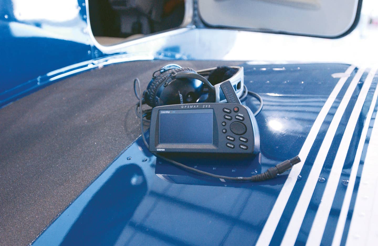
A moment caught off guard as a student pilot led the author to buy a portable Garmin GPSMap 295. Getty Images
Recently, I was working with a student pilot on the subject of inflight diversions — a topic I thoroughly enjoy teaching with pilots of all experience levels because a diversion can result from an unlimited number of variables and external pressures. I liken the exercise to a timed puzzle, which often has more than one solution. Beyond the training environment, I enjoy engaging with fellow pilots on diversion strategies because I’ll quickly learn their priorities and comfort levels in dealing with unexpected occurrences, and maybe even pick up a few new strategies along the way.
Practically speaking, there are emergency situations where the only right answer is an inflight diversion. Take, for example, an uncontained engine fire. Your only option is to get the airplane on the ground (and not necessarily on a runway) in as little time as possible. But most diversions afford the luxury of more time before you have to finalize a plan of action.
As I continued the ground lesson with this particular student, I found myself recalling a dual cross-country flight lesson in a Cessna 152 in my early flying days. This trip focused solely on developing pilotage and dead-reckoning navigation skills — not because my CFI liked cruel and unusual punishment, but because the centerpieces of the 152’s navigation package were a wet compass and a heading indicator (that worked most of the time).
The first two legs of the cross-country went as planned over southeastern Ohio and eastern Kentucky, but on the third leg, in the center of the Bluegrass State, my instructor presented the scenario of impassable weather ahead. It was a moment I will never forget, and at the time, it was the most challenging task I had ever encountered as a student pilot.
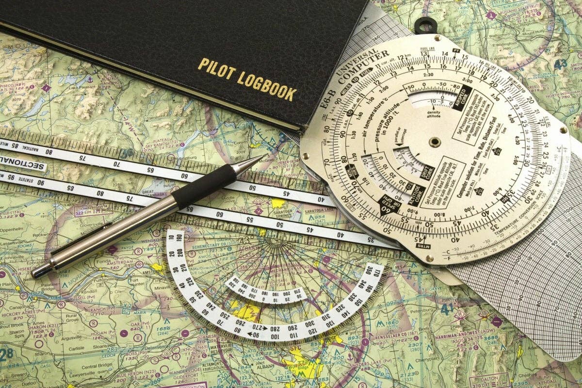
I had to unfold the sectional in a cramped cockpit, identify our position on the chart (I really had no clue where we were because my CFI caught me off guard), juggle an E6B and plotter, and then calculate rough navigation numbers to the Georgetown, Kentucky, airport. We zigzagged our way across the farmland and eventually made it to KGEO. Although the process wasn’t pretty, my instructor was satisfied because my procedure met the Practical Test Standards and we safely arrived at the destination.
Several key learning points arose from that trip: the importance of cockpit organization; understanding that not all flights will end at the airport of intended landing; and that my next stop after the lesson debriefing would be to the pilot shop on the field to buy a portable Garmin GPSMap 295. Don’t get me wrong, in hindsight I greatly valued the lessons learned that day practicing pilotage and dead reckoning, but I wanted something that would make navigation easier for my everyday flying, if for nothing more than peace of mind.
This was more than 15 years ago, and GPS was relatively new technology for pilots — NDB and localizer back-course instrument approaches were the norm, and I was told “real pilots” didn’t need GPS. I think at one point I even took some heat from my CFI for using the Garmin 295 during my solo commercial cross-country training flights, as if I were breaking some kind of unwritten aviation rule. “Thou shalt fly by thy compass or else!” Or else what? With that logic, he was cheating by using the compass instead of a sextant to fly at night by reference to the stars.
In my eyes, the handheld GPS made my flying safer and more efficient. I could navigate using direct routing between two airports, and I had a dedicated nearest-airport function a few taps away should a real diversion become necessary. As a pilot, I possessed the core navigational skills to get by should the GPS fail. But, for some reason, it didn’t feel quite right when flying with the GPS on board, like I was somehow cheating when using this new technology. The question lingered in my mind: Was it OK for flying to be so easy?
The answer, I’ve come to realize, is a resounding yes, with some caveats of course.
I conveyed this story to my student as he sat there with an iPhone and iPad on the table (both of which were GPS-capable) to help him understand why it’s important to learn the fundamentals of pilotage, dead reckoning and VOR navigation before putting complete faith in the GPS system. The new Airman Certification Standards include tasks on these navigational skills, and it’s vital during pilot training to learn how to fly using landmarks, plotted courses and manual calculations for groundspeed and time en route. Beyond the mere challenge, the knowledge also gives you the ability to navigate successfully should the GPS fail, and it teaches a better awareness of your surroundings and the math used by GPS receivers and computer-based flight-planning programs.
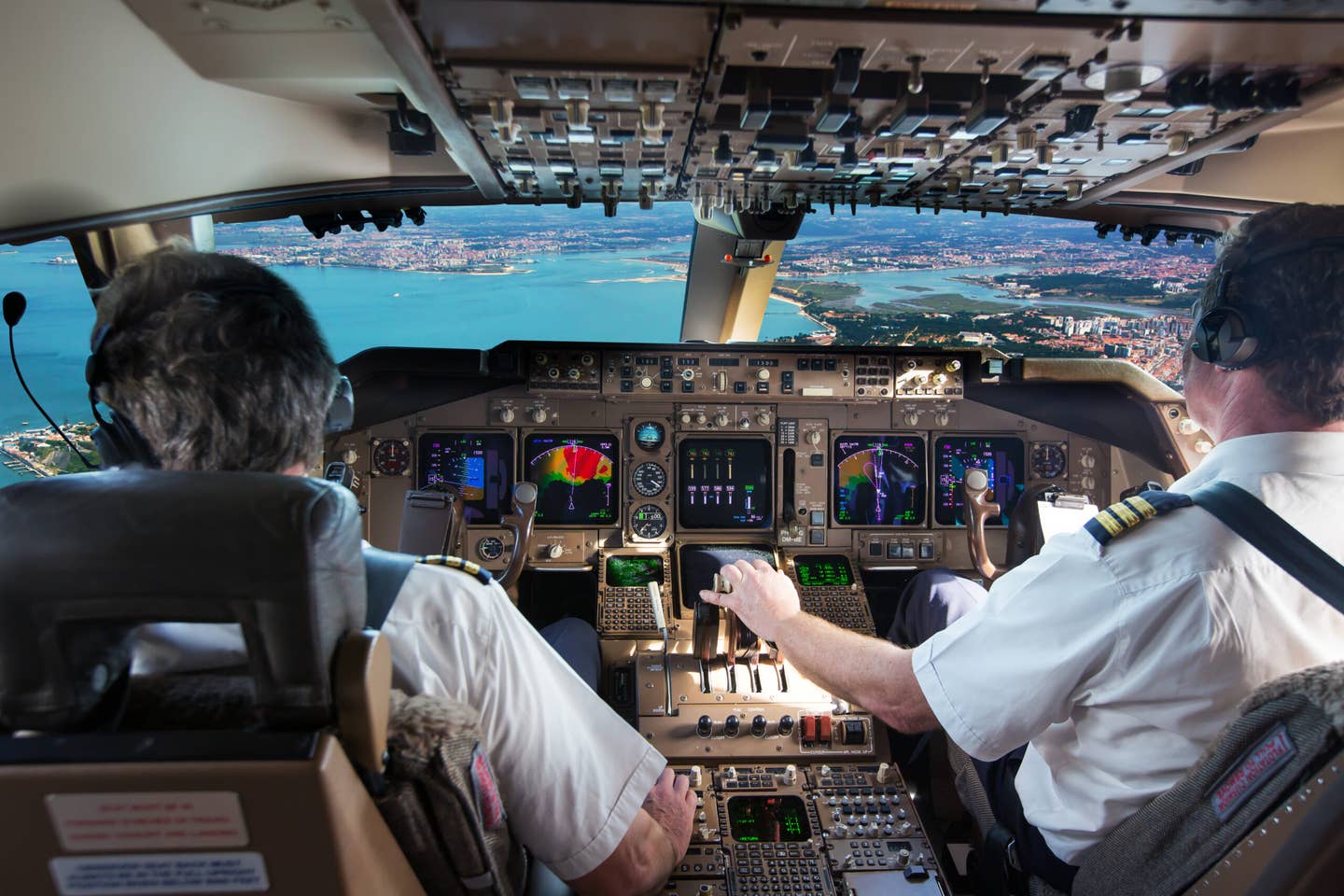
When pilots transition from the training environment into the real world of flying, it’s just as important that they be comfortable making use of the latest technology, whether an iPad, inflight ADS-B weather receiver or a sophisticated glass cockpit system. One of the goals of flight training is to condition pilots so that using all the technology at our disposal makes routine flying less demanding, just like an athlete conditions in preparation for a race or competition. Then, when the weather changes or a diversion becomes necessary, it’s a simple matter to use an iPad and choose the best alternate airport, evaluate ADS-B radar imagery and airport metars, and use the GPS to get the airplane going in a new direction.
My personal approach to both professional and fun flying follows this same logic, whether it’s a VFR flight in a Van’s RV-12 or an IFR cross-country in a Cessna twin. I always use GPS, ADS-B weather and mobile apps in the cockpit to accomplish any of the unexpected demands of the flight, and I feel good about it too.
This level of comfort results from possessing the fundamental navigational and weather-recognition skills, knowing the redundancy in the technology being used, and plenty of training to effectively use each resource.
This all came together for me on a recent trip to Florida where I was able to view ADS-B radar imagery on an iPad to plan a thunderstorm deviation several hundred miles in advance. On the same flight, I viewed a georeferenced RNAV approach chart that showed weather and nearby traffic, and flew an LPV (GPS) approach to minimums to a runway not otherwise served by an ILS. Oh, and my Apple Watch displayed the distance and direction to the three nearest airports with suitable runways the entire time.
All the technology components provided the information I needed most to significantly reduce the workload of the flight. Is it OK for what would have been a much more demanding IFR flight 15 years ago to feel this easy with today’s technology in the cockpit? You bet it is.

Sign-up for newsletters & special offers!
Get the latest FLYING stories & special offers delivered directly to your inbox

