Chart Wise: Sedona (KDEZ) RNAV (GPS) Rwy 3
This Arizona airport’s higher altitude means there are some things a pilot should be aware of when using an instrument approach to arrive.
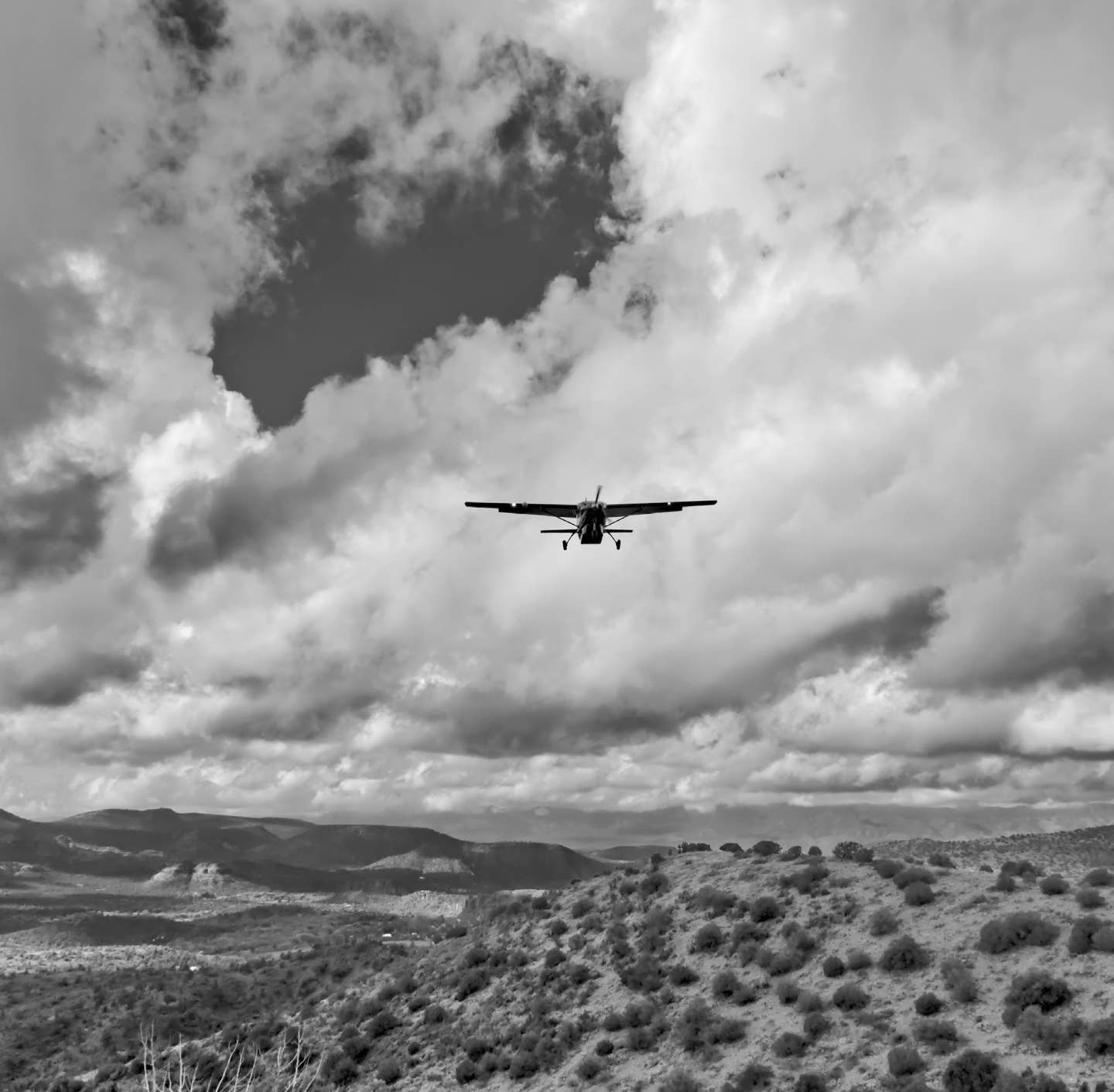
Sitting at a higher altitude than many other airports, there are some things a pilot should be aware of when using an instrument approach to arrive at Sedona, Arizona. [Adobe Stock]
A flight to Sedona, Arizona, to visit some local spas or art galleries, access numerous trailheads for Red Rock State Park, or for a food tour might be just the relaxation getaway needed. But sitting at a higher altitude than many other airports, there are some things a pilot should be aware of when using an instrument approach to arrive.
If you're not already a subscriber, what are you waiting for? Subscribe today to get the issue as soon as it is released in either Print or Digital formats.
Subscribe Now

A) Only One Approach
With higher terrain to the east, Sedona Airport (KSEZ) only offers one approach, and the missed approach point, LOMBB, is 1.3 miles from the airport. If the winds are anywhere out of the west, a pilot should expect to circle to land on Runway 21.
B) Circling Limitations
If a pilot needs to circle, a note on the approach plate points out that circling is “Not authorized northwest of Rwy 3-21.” The pilot should expect to fly the circle using a normal left traffic pattern or Runway 21. Worth noting also is that the circle-to-land minimums get much higher the faster your aircraft flies the approach. While an aircraft flying the approach in category A speeds (90 knots max) can go down to 5,720 feet msl, one that is flying it at category C (120 to 140 knots) can only descend to 7,080 feet msl, and if you are flying an approach in category D (greater than 140 knots) speeds, the circle-to-land is not authorized (“NA”). Another note also indicates that “Circling Rwy 21 not authorized at night.” This is probably a good idea considering the high terrain and how dark it can be in this mountainous area at night.
C) IAFs With Terrain and at High Minimum Altitudes
Waypoints DRRTY and COTSA are initial approach fixes (IAFs). Both have high crossing altitudes of 9,500 feet msl and are a little over 10 nm to the northwest and southwest of the HUKIN waypoint, respectively. Note both of these waypoints are over higher terrain and require good aircraft performance, perhaps more than most light piston-engine aircraft can do and that pilots are comfortable with.
- READ MORE: Chart Wise: Gillespie County Airport (T82) VOT/DME-A

D) Long Hold; Limited Altitudes
Transitioning from DRRTY or COTSA to the HUKIN waypoint, which is also an IAF where a pilot might hold, shows an indication of a maximum and minimum holding altitude of 10,000 feet and 9,500 feet, respectively. Expect to be at this limited altitude if you are going to hold before proceeding inbound on the approach. This is also a longer hold if you do need to fly it. Differing from the more traditional holds with one-minute legs, this one is a GPS hold with 7 nm legs.
E) Big Change in Altitude Along the Approach; Not MDA Only
With an intercept altitude at HUKIN of 9,500 feet msl and a TDZE of 4,793 feet msl, the pilot will transition through multiple stepdowns and a big change of altitude along the approach. Be ready to work those stepdowns prior to the FAF at BARME. MDA minimums only are offered, so this approach is not an LPV WAAS-based approach, even though the GPS a pilot uses may offer a “suggested glideslope” to follow. Be ready to go missed at the missed approach point of LOMBB, not a decision altitude (DA) on this approach.
F) Missed Approach Altitude
The missed approach, if needed, requires the pilot to climb in a right turn to 12,000 feet msl while proceeding direct to the MINGY waypoint for the hold. A pilot who might be considering this approach in conditions where a missed approach might be needed would do well to consider their aircraft’s performance abilities at these altitudes. That MINGY waypoint is also about 18 nm to the south of the airport, and the chart does not show this transition in scale as noted by the inset depiction and the note “NOT TO SCALE.” The missed approach also puts the pilot in a 7 nm leg GPS-based hold if needed.
This column first appeared in the January Issue 954 of the FLYING print edition.


Sign-up for newsletters & special offers!
Get the latest FLYING stories & special offers delivered directly to your inbox