Chart Wise: Borrego Valley RNAV (GPS) Rwy 26
Southern California airport offers desert views on approach.

[Shutterstock]
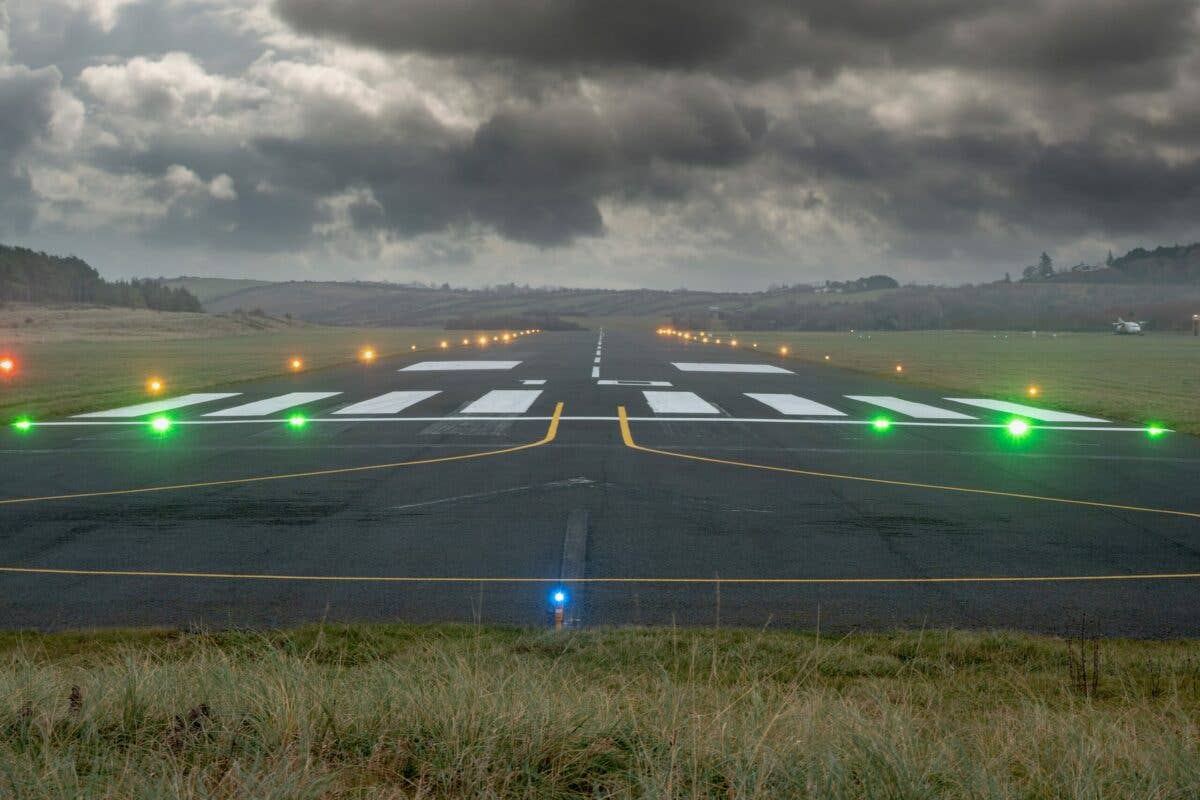
A trip to the nearby Salton Sea, a hike in Slot Canyon, or a rare chance to visit the desert wildflower displays, if you time it right, might take you to this airport in Borrego Springs, California, with one singular GPS approach to Runway 26.
If you're not already a subscriber, what are you waiting for? Subscribe today to get the issue as soon as it is released in either Print or Digital formats.
Subscribe NowA) Terrain on Three Sides
With initial approach fixes available to the east and southeast of the airport, a pilot will do well to pay attention to elevation in the area. Much of the terrain to the north, west, and south of the approach is rising along the approach path. Keep to the course to avoid encumbering the rocky surfaces that surround the airport.
- READ MORE: Chart Wise: Escanaba (KESC) LOC BC Rwy 28
B) Stepdowns, No Glideslope
Many GPS approaches are WAAS-based and have an LPV minimum published so the pilot will have a glideslope to follow along the approach. Not this one. This is an older-style LNAV MDA Minimum Descent Altitude (MDA) nonprecision approach. A pilot will have a sequence of descents from the SEDYO waypoint at 3,800 feet, down to 3,100 feet to HAKUR, and then 2,400 feet to the FAF of COMTU before finally descending down to the applicable MDA of 1,720 feet for most aircraft.
C) Turn at FAF
Most approaches will have the aircraft established straight in and then on the same course from the final approach fix (FAF) to the missed approach point. This approach brings a pilot along multiple IAFs, through intermediate fixes, and to the FAF at which point they must turn. A pilot starting this approach at the OCURO waypoint to the east would fly inbound on a 263-degree course, then turn at SEDYO to a 268-degree course, and then turn again to a 250-degree course at the COMTU FAF before turning toward the runway. Be sure not to miss these turns to stay on the published approach procedure.
D) Circling Left Traffic Runway 8
If a pilot was going to need to land on Runway 8 for wind conditions, a note indicates “Not Authorized South of Rwy 8-26.” This would have a pilot fly left traffic for Runway 8, even though on the chart this looks like it would be closer to terrain than circling to the south of the runway. This is also confusing since the missed approach is a left turn out to the south of the airport, but it is worth noting that the missed starts a mile beyond the runway end.
E) Missed U-Turn Back to the East
Going missed on this approach would be required at the ASIYO waypoint, which is 1 nm from the runway if the runway environment wasn’t visible. The missed would take a pilot back out to the OCURO waypoint to hold. Note that this hold is not on the inbound course of 263 degrees but instead on a 257-degree inbound course with right turns for a 4 nm holding leg.
This column first appeared in the September Issue 950 of the FLYING print edition.

Sign-up for newsletters & special offers!
Get the latest FLYING stories & special offers delivered directly to your inbox


