Chart Wise: Kitchener/Waterloo, Ontario ILS Rwy 26
This ILS is best flown with GPS assistance with a special missed approach option.
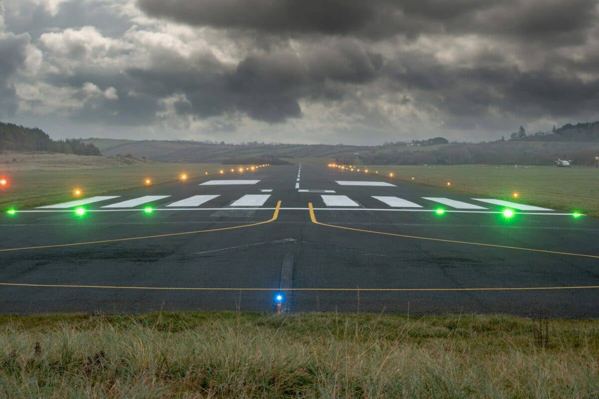
[Shutterstock]
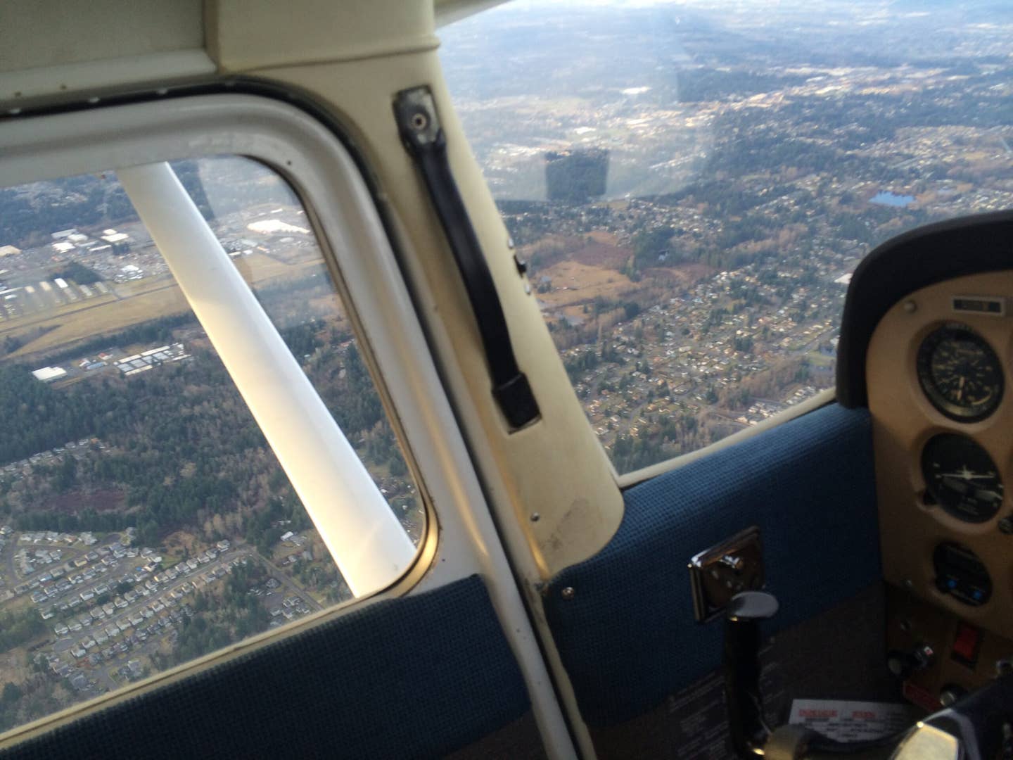
Flying into Canada, a pilot wanting to clear customs might choose to use the Kitchener/Waterloo, Ontario, airport. Conveniently located a little west of Toronto, it allows pilots to avoid some of the busier airspace associated with the larger city. With weather frequently, especially in the winter, dipping into IFR categories, a pilot might find themselves flying the ILS to Runway 26 on their way to this airport.
If you're not already a subscriber, what are you waiting for? Subscribe today to get the issue as soon as it is released in either Print or Digital formats.
Subscribe NowA) Radar or GNSS Required
The notes on this chart indicate that the pilot is required to either be flying the approach while in contact with ATC receiving RADAR vectoring services or have a suitable (GPS) RNAV GNSS system. If the pilot is not in ATC contact or does not have a suitable IFR-capable RNAV GPS system, this approach would not be authorized.
- READ MORE: Chart Wise: Borrego Valley RNAV (GPS) Rwy 26
B) LOC Reliability Limitations
A note on the chart indicates that the “localizer is reliable only within 10 degrees of either side of centerline.” A pilot would do well to keep on the course, or risk inaccurate course deflection depictions as they try to re-establish your course.
C) GPS Points Available to Establish on the Approach
In a modern integrated IFR navigation system, the pilot with an aircraft equipped with IFR-capable GPS can choose to fly the approach using GPS-based waypoints. They might choose to use either the MAPEM or OMTED waypoints for example to feed themselves to the LIBIL intermediate fix and then transition to using the ILS frequency and localizer course to fly the approach inbound to the airport. An approach such as this can leverage multiple navigation sources to conduct an approach more accurately and efficiently.
- READ MORE: Chart Wise: Escanaba (KESC) LOC BC Rwy 28
D) DME and LOC Different Frequencies
If a pilot is using DME on this approach not derived from their GPS, but from the more traditional VHF frequency source, they should note that the Localizer and the DME frequency sources are different frequencies. The LOC is tuned to 110.7 while the DME source is from the YWT VOR on 115.0. The distance difference may be negligible, but make sure your DME reference point is from the correct frequency.
E) VOR Radial Back to LIBIL to Hold on Missed (When Lost Comm)
On this approach a special procedure is offered for a lost communication scenario that has the pilot fly 255 degrees while climbing to 4,000 feet msl and then intercept the 262 radial degrees to the YYZ VOR 25 DME point at the LIBIL waypoint. It is important that the pilot follow these directions and not just hit “GPS Direct” to the LIBIL waypoint. The pilot is supposed to intercept the 262 radial and fly to the northeast along that radial inbound to toward the YYZ VOR (112.15) until they reach the 25 DME point from that VOR where they would hold inbound on the localizer at LIBIL for “five minutes before executing the approach procedure again” or following alternate ATC instructions. It’s important that the pilot takes the time to properly program navigation sources and select headings and courses when flying this complex missed approach procedure.
This feature first appeared in the October Issue 951 of the FLYING print edition.

Sign-up for newsletters & special offers!
Get the latest FLYING stories & special offers delivered directly to your inbox

