Density Altitude: Know Your Enemy
It’s best to crunch the numbers before density altitude crunches you.
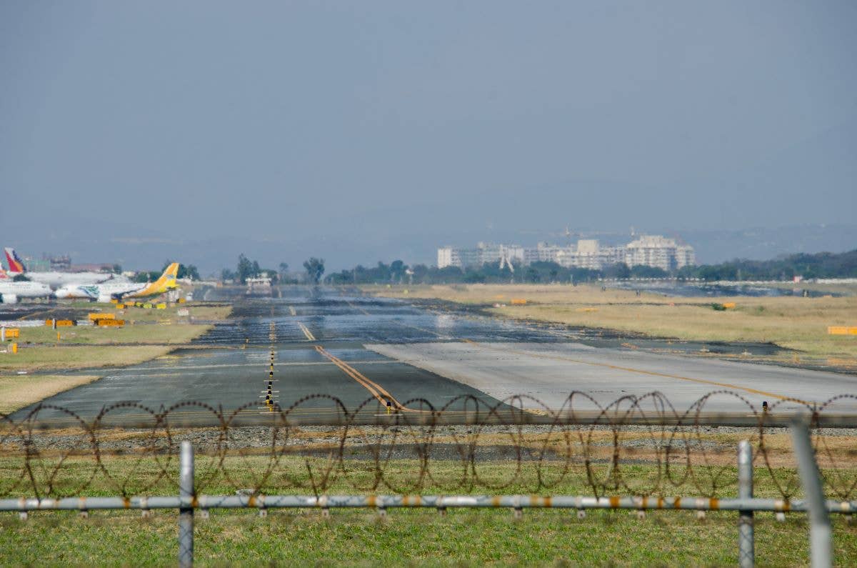
Although density altitude does reduce performance of an aircraft, it doesn’t automatically keep you on the ground. [Credit: Shutterstock]
It was a warm summer day, and the learner called to cancel his flight about an hour before he was scheduled to show up. His CFI noted the learner canceled two more times that week— this was unusual. During the work week, the learner usually flies in late afternoon. On Saturday, he flew in the morning. The Saturday appointment he kept, saying he was glad to fly and how bummed he was to have missed so many days because of high density altitude.
I was perplexed, as the DA never climbed above 1,600 feet that week, a value easily handled by the school's fleet of Cessna 172s on the 3,600-foot runway at the airport with the field elevation of 534 feet msl. I asked the learner about it. He replied that he had been calling the airport's automated weather a few hours before his flight. When he heard the words “density altitude,” he hung up, thinking it was a no-go day. He based this on a video clip he'd seen online that showed a very long takeoff roll of a Stinson 108 in Idaho, followed by a labored takeoff, followed by a stall and impact. His CFI sent him the clip as an illustration of density altitude. The learner took that to mean DA made airplanes go down. Therefore, when it was reported, it was a no-go situation.
Not necessarily. Although density altitude does reduce performance of an aircraft, it doesn't automatically keep you on the ground. But knowing how to determine DA and its effect on the aircraft is part of risk management.
Density Altitude 101
Density altitude is pressure altitude corrected for non-standard temperature and humidity. If it is warmer than standard temperature (15 degrees Celsius or 59 degrees Fahrenheit), an elevated DA is possible.
The warmer the air is, the less dense the air is. When you heat air, it expands, and if there is high humidity, there are more water molecules between the air molecules, and we experience less performance from the aircraft. If the aircraft is operating from a high-elevation field, for example, taking off from an airport in the mountains where there is reduced air pressure, we have the trifecta of density altitude: high field elevation, hot temp, and high humidity.
Student pilots learn the phrase “high, hot, humid” to recall density altitude. You only need one of these factors to create a high DA, which can take some pilots by surprise, as they think all three need to be present, so they are unprepared by the aircraft's poor performance. You often hear them recount their experience with the phrase: “I didn't think it would be that bad,” which means they didn't attempt to calculate density altitude before they flew.
The FAA has given us all sorts of tools to use to calculate density altitude as part of our preflight planning. With this information, we can then determine the aircraft performance.
Calculating DA begins by determining pressure altitude. At the airport, pressure altitude is easy to get: It is the attitude displayed on the altimeter when the Kollsman window is set to 29.92 inches of mercury, or 1013.4 millibars, so head out to the airplane and use the altimeter to get the information.
If you don't have an altimeter, use math to determine pressure altitude:
Take standard pressure of 29.92 and subtract the current pressure setting. Take the result and multiply it by 1,000, then add field elevation. This results in pressure altitude.
For example: Let’s say the current altimeter setting is 29.45 and the field elevation is 500 feet. Plugging these numbers into the pressure altitude formula, you get: (29.92 – 29.45 = .47) (0.47 x 1,000 = 470) (470 + 500 = 970), so the pressure altitude is 970 feet.
Now determine the outside air temperature. You can check the outside air temperature gauge or obtain the information from the automated weather at the airport or an aviation weather briefing.
Using the Flight Computer
Density altitude can be determined using a mechanical E6-B. For this exercise we will say the temperature is 90 degrees Fahrenheit. You must first convert Fahrenheit to Celsius. (There is a conversion scale printed on the manual E6-B to find 90 degrees F = 32 degrees C). Next, find the line that has the values for air temperature in the box labeled air temperature. Locate the box labeled pressure altitude. Put the air temp over the pressure altitude.
Look at the box labeled Density Altitude—there is your answer. So if the pressure altitude is 1,000 feet and the temperature is 30 degrees Celsius, the pointer in the density altitude box is pointing to the two-tick mark, which means the DA is approximately 2,000 feet.
If you are using an electronic E6-B, follow the formula printed on the instrument, press a few buttons, and get the numbers. If using an app, drop in the numbers and see the result.
Using a Density Altitude Chart in the POH
If you don’t have an app or E6-B, the POH provides a density altitude chart, where you can find the ambient DA by adjusting for field elevation using the numbers on the right side of the chart. Either add or subtract as necessary.
Use the table to adjust for the difference between standard pressure and the altimeter setting at the airport.
Now we move to the left side of the graph and locate the adjusted field elevation, followed by finding the temperature on the bottom of the graph. The point where these values intersect is the density altitude.
Web-based Apps
There are also a number of apps and websites you can use. My favorite website to show to learners was created by Richard Shelquist, a pilot from Colorado. Pilots in the Centennial State learn about density altitude from day one.
"Since I had previously spent hundreds of hours flying my super decathlon in the Colorado mountains, the topics of air density and density altitude were near and dear to my heart," Shelquist told FLYING, "and I felt there was a need for convenient, easy-to-use, freely available (online) calculators to help pilots easily check, or verify, the density altitude at their location. Hence, the calculators were born."
Go to the page and fill in the numbers in the correct boxes, and you can determine the density altitude at your airport with a few keystrokes.
Determining Aircraft Performance
Density altitude is often referred to as where the aircraft "feels like" it is performing at. DA degrades aircraft performance, and sometimes this comes as a surprise to the pilot. It seems like every airport has a story about a pilot who almost ran out of runway when they had to abort a takeoff on a high density altitude day.
The FAA provides great information on the effects of density altitude. Check out FAA–P–8740–2 • AFS–8 (2008) HQ-08561 and the Pilot's Handbook of Aeronautical Knowledge.
These publications warn the pilot to expect an increased takeoff distance, reduced rate of climb, and an increased true airspeed on approach and landing, although the indicated airspeed will remain the same. This can lead to floating and running out of runway options at the same time, as you will also experience a longer landing roll.
Protect yourself by checking the performance charts carefully, noting the weight of the aircraft, fine print, such as “lean mixture above 3,000 feet for maximum rpm,” as well as notes on increasing or decreasing the takeoff roll or landing roll depending on wind and runway surface.
Note the values given for ground roll and total to clear the 50-foot obstacle at the end of the runway. The landing chart should also be reviewed, especially the notes on aircraft configuration, the effect of headwinds versus a tailwind on approach, and the increase in ground roll based on the runway surface. Dry grass, for example, increases the ground roll of a Cessna 172 by 45 percent.
Be conservative. If the total distance required for takeoff is 2,790 feet, think about rounding up to 3,000 feet, and you may even want another 500 feet depending on what is on the approach and departure ends of the runway. Remember the POH numbers were calculated with a new airplane. Chances are good the airplane you are flying has a few years on it. Don't expect POH-level performance as such.

Sign-up for newsletters & special offers!
Get the latest FLYING stories & special offers delivered directly to your inbox

