Destinations: Half Moon Bay
If you’re craving a beach getaway, flying into Half Moon Bay is the ultimate place for a pilot adventure.
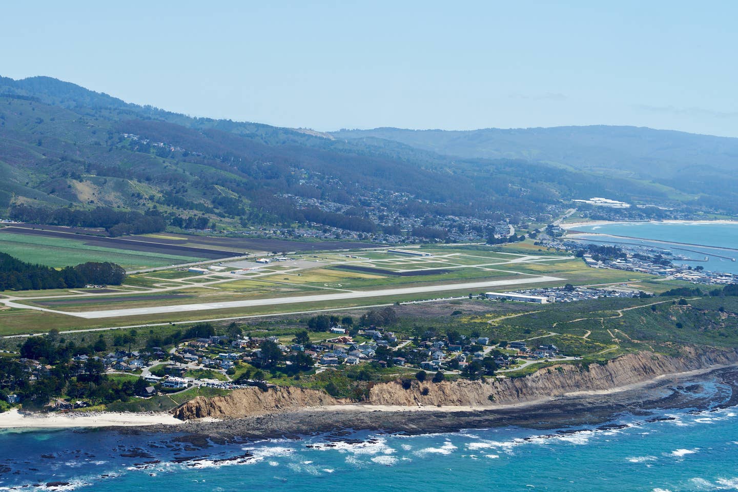
The airport at Half Moon Bay sits on a ledge overlooking the Pacific Ocean. [Credit: Jeff Berlin]
The Pacific coastline is littered with aviation gems–some well-known, others not so much. While many general aviation airports in California are located a short drive from the beach, such as Carlsbad, Santa Monica, San Luis Obispo, Monterey, and Arcata, only a few will take you within walking distance of rubbing your toes in the sand. One such beach airport that I have visited many times is Oceano County Airport (L52), which is located about a 10-minute walk from Pismo Beach. While it’s terrific for a light single-engine airplane such as my Mooney M20C, its 2,325-foot long by 50-foot-wide runway is quite sporty for many privately owned airplanes.
While working on an article about the Epic E1000 in the early summer of 2020, I was introduced to another beachside airport. Epic Aircraft’s CEO, Doug King, recommended a trip to Half Moon Bay Airport (KHAF) to evaluate the single-engine turboprop (see FLYING’s August 2020 issue for the story). I gladly accepted the suggestion. It was a terrific flight, but we didn’t have much time on the ground and, since COVID restrictions were still quite strict, we couldn’t explore the area as much as I would have liked to. A return trip was on my bucket list, and it didn’t disappoint.
Getting There
Located just a hop, skip, and a jump from San Francisco Bay, Half Moon Bay airport is a tranquil escape that offers activities aplenty. As the name implies, the nontowered airport is located a few steps from an arc-shaped bay on the shores of the vast Pacific Ocean. Inside the arc is a beautiful beach covered in golden sand, a marina with a pier, and a quaint community with several restaurants and other activities.
Being right on the coast, the airport elevation of KHAF is only 66 feet msl. The paved, 5,000-by-150-foot-long runway provides plenty of room for most privately owned airplanes, whether piston-, turboprop- or jet-powered. Airplanes with a max gross weight of more than 12,500 pounds are prohibited.
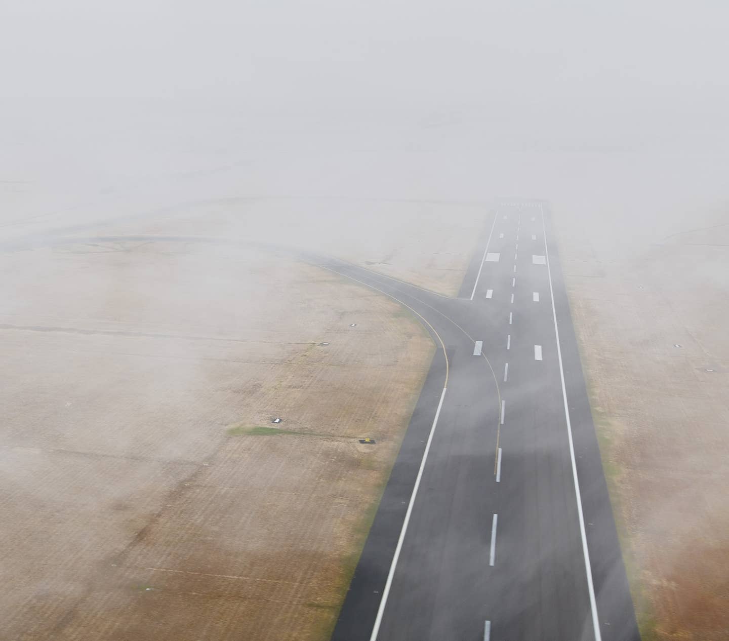
While the Pacific coastline offers beauty and great recreational options, it does spin off a marine layer that can linger through late morning, particularly in the spring and summer. This cloud condition plagues VFR pilots as it can park itself low to the ground for days and sometimes weeks. KHAF offers instrument approaches to both runways 12 and 30 that will allow you to fly in on cloudy days, provided you’re IFR rated and fly an airplane equipped with an IFR-capable GPS navigation system. The RNAV RWY 12 approach allows you to descend to 300 feet agl and RNAV RWY 30, the most commonly used runway, gets you down to 400 feet agl with LPV minimums. Be aware that Runway 12 has IFR takeoff minimums of 2,600 feet and 2 sm because of the trees at the departure end. Night ops are also available. Lights can be activated with the CTAF frequency—122.8.
Photographer Jeff Berlin and I had planned to fly my Mooney M20C from Camarillo (KCMA) in southern California to KHAF on a Tuesday in early April. However, the remnants of the last atmospheric river—the weather phenomenon that presented itself several times this past winter, with really heavy rains and strong winds—prevented us from going. The cloud layer on the day we had planned to go was forecast to linger around 1,000 feet until early afternoon at both airports and the wind gusts were expected to blow around 35 knots in Half Moon Bay—not ideal for either a beach visit or a photo session. Also, my Mooney’s IFR navigation database had expired, so I was limited to VFR conditions.
Fortunately, Jeff and I were able to reschedule a couple of days later. A marine layer was still in the forecast, but it was expected to burn off both at Camarillo (mid-morning) and Half Moon Bay (early afternoon). The winds had also subsided. We decided to meet at KCMA around 10 a.m.—later than we normally would plan a flying rendezvous.
Being one of the first good VFR flying days in a while, there were tons of pilots who were as excited as we were to fly. By the time we were holding short of Runway 26 in Camarillo, there was a never-ending line of approaching airplanes, likely to enjoy brunch at the popular Waypoint Café. We were dumbfounded that the controller kept guiding airplanes to the runway even though there was a growing line ready for departure. We held for about 25 minutes before we were finally cleared for takeoff.
Once we were in the air, it was a spectacular day to fly, with smooth, clear skies, albeit with a slight haze. With all the rain that had fallen on California, the hills along the coast were covered in bright green grass, along with splashes of orange poppies, yellow mustard flowers, and other wildflowers contributing to a spectacular super bloom. Our scenic, mostly coastal flight passed by Santa Barbara, San Luis Obispo, Monterey, and Santa Cruz before cresting the hills south of the stretch of coastline that is crowned by Half Moon Bay.
Arriving VFR from the southeast, as we did, is very straightforward. Simply follow the coastline. Once you crest the mountains past Monterey Bay, you can’t miss the airport at the end of the half-moon-shaped bay. However, you need to be aware of the proximity of the San Francisco International Airport (KSFO), which is merely nine miles northeast of KHAF.
The base of San Francisco’s Class B airspace along the shoreline southeast of KHAF sits at 6,000 feet. Higher up you must be on an IFR flight plan or request a clearance through the Bravo. If you go inland at all, you need to stay below 4,000 feet and if you overfly the hills, you’d better talk to someone because, even if you stay out of Bravo, you have San Carlos’ and Palo Alto’s Class Delta to contend with. The airspace from these three airports, Oakland’s and San Jose’s Class C airspace, and several other Class D airports make up a patchwork of multi-layered blocks that would be nearly impossible, if not reckless, to navigate through without communicating with ATC. So, if you’re arriving from the east or north, a thorough navigation plan and flight following are required.
Since we had cruised from KCMA at 8,500 feet, with flight following, we began our descent early to clear the airspace. Because of our delayed departure, the clouds had completely burned off by the time we arrived at KHAF, which advertised more than 10 miles visibility, clear skies, and winds from 320 at 11 knots—almost straight down Runway 30. Flight time was under two hours with a slight detour west of the towering Sierra Madre Mountains east of Santa Barbara.
We made a low approach and circled around to set up for Runway 30. Wind shifts around the shoreline kept me on my toes on short final. I was happy that there was plenty of runway to play with and, since the crossing taxiways are sparse, I rolled out to the end of the runway.


Being There
On our visit, the main taxiway, which is offset on the right side of Runway 30, was obscured by tall grass and flowers. I had studied the airport diagram so I knew where to go. At around the halfway mark of the airport, there is a terminal building with dozens of parking spots and a self-serve fuel station for 100LL avgas. If you’re flying an airplane powered by jet fuel, you’ll have to gas up elsewhere. The fuel cost on the day we were there was $6.13 per gallon, significantly lower than the airports in the Bay. Parking is free, but if you’re staying the night, there is a $15 fee for light pistons and $25 for larger airplanes, such as twins, turboprops, and jets.
While there are parking spots by the terminal building, the better place to park is at the southeast end of the runway, where plenty of tiedowns are available as well. There are no cars to rent at KHAF. You can easily catch an Uber, but there really is no reason to, since everything you could possibly need is within walking distance.
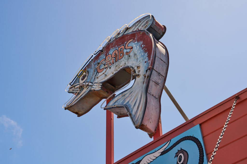
As you go through the gates on the southeast tip of the airport, you’ll basically walk right into Princeton. This bohemian community offers quaint, coastal-themed buildings housing unique shops and restaurants. If you like seafood, Princeton is the place for you.
On my Epic visit in 2020, pandemic restrictions allowed for takeout only. We picked up some really yummy fish and chips from Barbara’s Fishtrap, which is near the pier, and brought it to the picnic tables at the airport. This time, Jeff and I stopped at Half Moon Bay Brewing Company, which has a really large outside patio overlooking the bay with portable heaters and a gas firepit. While the fish and chips looked amazing, we both opted for the fish tacos. The thick slabs of cod and scrumptious coleslaw did not disappoint.
Airplane geeks as we are, we spent our lunch watch- ing airplanes approaching Runway 30. We spotted several interesting airplanes, such as a Diamond DA42 Twinstar, a Cessna Skycatcher, a Kitfox, and a T-6.
If you’re planning on staying the night, there are sev- eral hotels in Princeton. On the high end, there’s the Oceano Hotel and Spa, or the Inn at Mavericks, which offer stunning accommodations starting at around $300 per night. For about half of that price, you can stay at the Harbor View Inn. There are several other options for both hotels and restaurants located within about half a mile of KHAF’s south parking area.
If you’re on a budget or prefer to sleep under the stars, the airport offers camping by the southeast tiedowns. There are no showers, but there is a permanent restroom. Picnic tables and firepits provide opportunities for cooking and dining. The campground is open year-round and there are no additional fees for camping, other than the overnight fee.
Take a few steps past the restaurants and hotels and you’ll find plenty of opportunities for recreational activities. At the tip of the bay, Pillar Point offers beau- tiful trails across the hills and around the point, and terrific tide pooling in the flat rock areas that mix in with the sandy beach. You can’t miss the prominent radome on top of the hill. The radar equipment along with telemetry and command antennae are part of the Pillar Point Air Force Station, which, by the way, you should avoid overflying, and are used to support space and ballistic missile launches from the Vandenberg Space Force Base.
If you want to get out on the water, Half Moon Bay Kayak Company offers a variety of kayaks and stand-up paddle boards for rent. And if you want to tour the area more quickly than on foot, you can rent bikes there, too.
Fishing enthusiasts can throw fishing lines off the pier. We saw several people out there testing their luck with rods and lures. But if you’re looking for more of an adventure, Half Moon Bay Sportfishing and Tackle will take you out in a boat to fish for salmon, rockfish, crab, and more.
Unfortunately, we didn’t have time to get out on the water. By the time we were ready to head back to Camarillo, there was a flock of Cessnas circling the airport. The pilots did a good job with the nontowered operations, and we were able to depart quickly. As we left the airport behind us, I already longed for a return visit to this beautiful place that is so close to a major city, but feels so far away.
Half Moon Bay Airport Information
Location: 9 nm southwest of San Francisco International Airport
Airport Elevation: 66 feet msl
Airspace: Nontowered, Class E
Airport Hours: Open 24 hours, Attended 8:30 a.m. to 4:30 p.m.
Runway: 12-30
Lighted: Yes
Pattern Altitude: 1,066 msl (light)/1,566 msl (turbine/large)
This article first appeared in the June 2023/Issue 938 of FLYING print edition.

Sign-up for newsletters & special offers!
Get the latest FLYING stories & special offers delivered directly to your inbox

