Dissecting a Tragedy in the Third Dimension
There’s quite a difference between simulated IFR and the real thing.
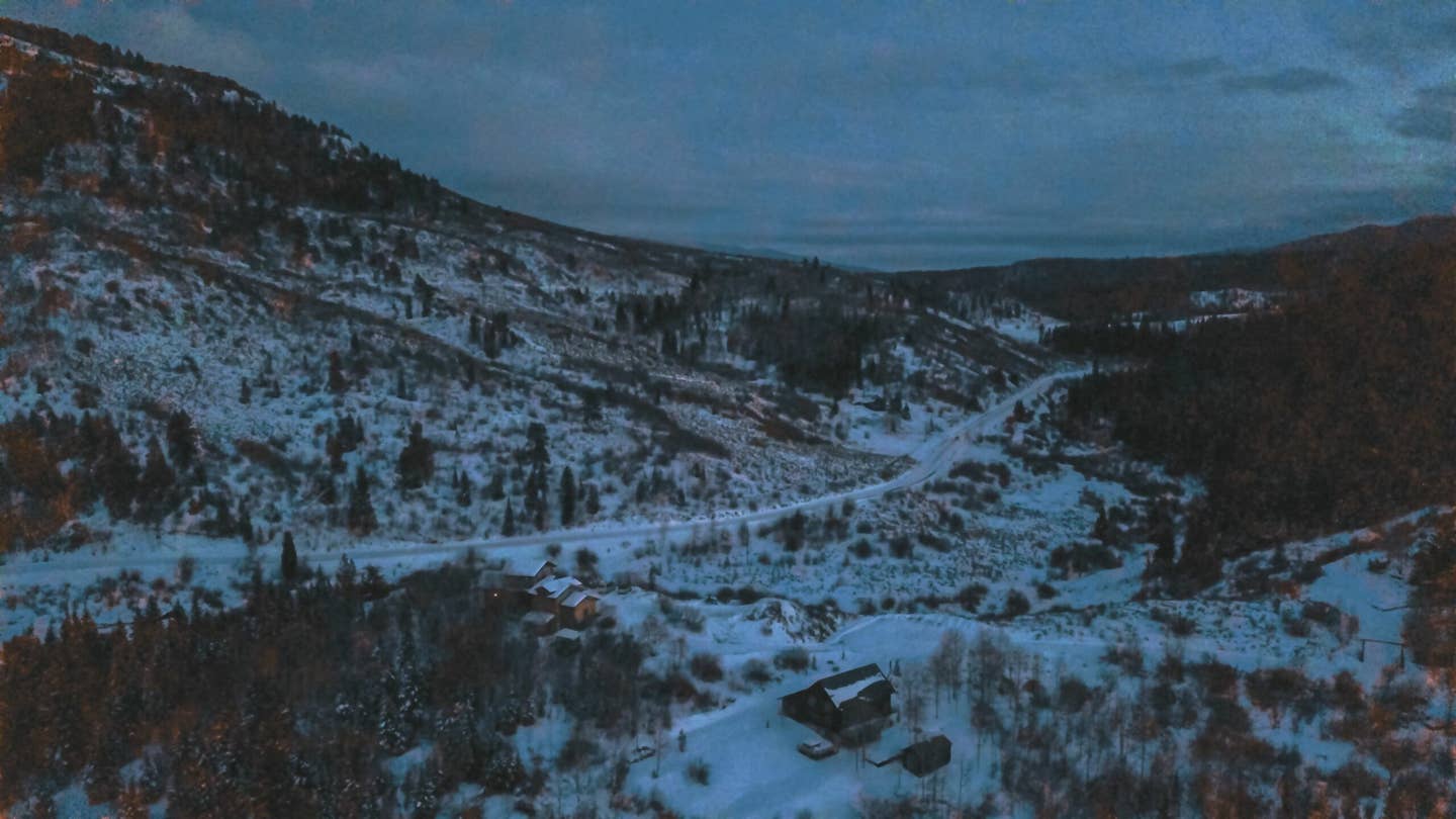
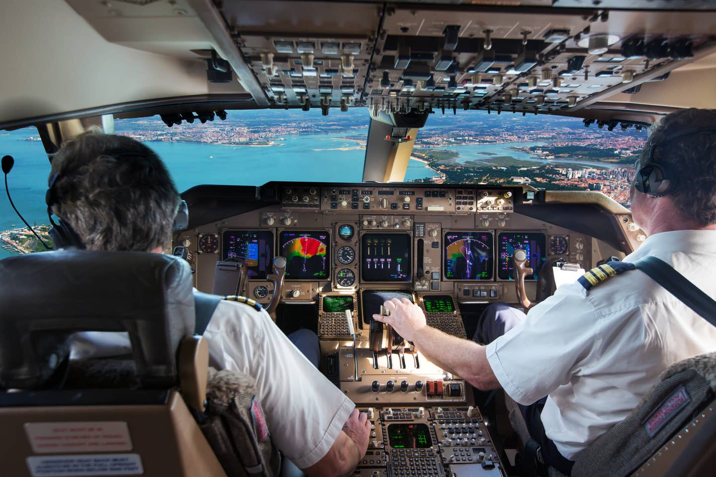
The difference between simulated instrument flying and the real thing—especially when compounded by darkness—is difficult for novice instrument pilots to imagine. [iStock]
On a December evening, a turboprop Piper Meridian climbed out of Cody, Wyoming, for a 300-mile flight to Steamboat Springs, Colorado. The flight must have been a pleasant one for the private pilot, 42, an orthopedic surgeon who lived in Steamboat Springs. He had a 40-knot tailwind at 25,000 feet and made a groundspeed of more than 300 knots. When he left Cody, Steamboat was reporting 4,500 broken and 7 miles. Every reporting station along the route was VFR. The forecast for his arrival called for VFR conditions with some light snow in the vicinity and some mountain obscuration to the east.
It was dark when he approached Steamboat Springs. Cleared for the RNAV (GPS)-E approach for Runway 32 at Bob Adams Field (KSBS), he began his descent 20 minutes out, turned eastward at the initial approach fix, HABRO, and then northward at MABKY intersection.
If you're not already a subscriber, what are you waiting for? Subscribe today to get the issue as soon as it is released in either Print or Digital formats.
Subscribe NowThe design of the approach brings you up a valley between high terrain to the east—where a number of peaks rise above 10,000 feet—and 8,250-foot Quarry, aka Emerald Mountain, to the west. The final approach fix (FAF), PEXSA, is aligned with the runway; the 5.4 nm leg from MABKY to PEXSA, however, is oriented at 353 degrees and requires a left turn of 30 degrees onto the 4.6 nm final approach course.
The field elevation at KSBS is 6,882 feet. Category A minimums are nominally 1,300 and 1¼ with a minimum descent altitude of 8,140 feet. The missed approach, begun at the runway threshold, calls for a climbing left turn back to HABRO at 11,300 feet.
The descent profile specifies crossing altitudes of 9,700 feet at the FAF and 8,740 feet at an intermediate fix, WAKOR, 2.4 nm from the FAF. From WAKOR to the threshold is 2.2 nm. Once passing WAKOR, the pilot could step down to the minimum altitude and start looking for the runway.
The Meridian tracked the ground path of the approach with electronic precision. The profile was not so perfect. The airplane crossed the FAF at 9,100 feet, 600 feet below the required altitude. At WAKOR it was 540 feet low and for all practical purposes already at the minimum allowable altitude for the approach.
At WAKOR, rather than continue straight ahead toward the runway, the Meridian began a left turn, similar to the turn required for the missed approach but 2 miles short of the prescribed missed approach point. The ground track of the turn, executed at standard rate, had the same machine-like precision as previous phases of the approach—but not the profile. Rather than immediately climb to 11,300 feet, as the missed approach required, the Meridian continued to descend, reaching 7,850 feet, less than 1,000 feet above the field elevation. It then resumed climbing but not very rapidly. One minute after beginning the left turn at 8,200 feet and on a heading of 164 degrees, it collided with Quarry Mountain. At the time of impact, the landing gear was in the process of being retracted.
When the Meridian arrived in the vicinity of Steamboat, the weather had deteriorated to 1,200 feet overcast and 1 mile visibility—below minimums for the approach. The National Transportation Safety Board limited its finding of probable cause to the statement that the pilot had failed to adhere to the published approach procedure and speculated that he had become aware of the below-minimums conditions only during the approach. Indeed, he would have become aware of the low ceiling by the time he reached WAKOR because he was already practically at the minimum descent altitude there.
He was apparently unprepared for this unexpected development.
The Meridian was equipped with a lot of fancy avionics that recorded every detail of the approach, and the accident docket includes extensive graphic depictions of those records. (These are not included in the published report.) What is striking about them is the contrast between the undeviating steadiness of headings and the large random fluctuations in airspeed, vertical speed, and altitude, which are evidently being controlled by the pilot. During the last two and a half minutes of the flight, the Meridian’s airspeed fluctuated between 89 and 110 knots and its pitch attitude between minus-5 and plus-10 degrees. Approaching WAKOR, its vertical speed was zero. Crossing WAKOR and beginning the left turn, the vertical speed first dipped to 1,500 fpm down, then, 10 seconds later, corrected to 1,300 fpm up. Ten seconds after that, it slumped again to zero before shooting back up to 1,500 fpm, holding that rate momentarily and then dropping again. The impact occurred a few seconds later.
The pilot’s logbook, which recorded 580 hours total time with 43 hours of simulated instruments and 45 hours of actual, contained four instances of this same GPS approach in the month preceding the accident. In some of those log entries, no actual instrument time was recorded, and at least two of them ended with a low approach but no landing. In some, if not all, of those approaches, the pilot was evidently practicing in VMC. Plots of two of those approaches, one a month earlier and the other a week earlier, display the same precision in ground track as the one that led to the accident, so it appears that he was relying on his autopilot for horizontal navigation.
- READ MORE: When VFR Turns into IFR
Being based at KSBS and having repeatedly flown the approach in good weather, the pilot would have been aware that the terrain below him never rose above 7,000 feet. He might therefore have believed, consciously or unconsciously, that as long as he didn’t get much below 8,000 feet, he wasn’t going to collide with anything. That idea could have factored into his starting the missed approach 2 miles short of the runway. Or perhaps he simply forgot about Quarry Mountain. Or, possibly, he made the decision to miss at WAKOR and began the turn without even reflecting that an important element of any missed approach is the location at which it starts.
His unsteady control of airspeed and pitch attitude, and his failure to retract the landing gear until a full minute after beginning the miss, suggest a pilot unaccustomed to balked approaches and now struggling with a novel situation. Anticipating VFR conditions, he had not filed an alternate and would now have to make a new plan and execute it in the air.
The difference between simulated instrument flying and the real thing—compounded, in this case, by darkness—is difficult for novice instrument pilots to imagine. It is not just a matter of the complexity of the required actions. It is the effect that anxiety, uncertainty, or surprise may have on your own capabilities. What looks like a dry script on a piece of paper can become a gripping drama—comedy or tragedy—when the human protagonist steps onto the stage.
This column first appeared in the September 2023/Issue 941 of FLYING’s print edition.

Sign-up for newsletters & special offers!
Get the latest FLYING stories & special offers delivered directly to your inbox

