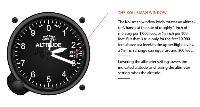
The barometric pressure setting window is also known as the Kollsman Window, named for inventor Paul Kollsman. Flying
Pressure Altitude
- Pressure altitude is the indicated altitude when an altimeter is set to 29.92 (1,013.2 mb).
- It is the height above the standard datum plane; it can also be determined by applying a correction factor to the indicated altitude displayed when it is set to the reported altimeter setting.
- Pressure altitude is used by all aircraft in the United States and Canada at and above 18,000 feet.
- Aircraft performance charts are usually based on pressure altitude (or sometimes density altitude).
- On that very rare "standard day," pressure altitude will equal true altitude.
Density Altitude
- Density altitude is pressure altitude (29.92) corrected for nonstandard temperature, and is considered for aircraft performance.
- It is the altitude the aircraft "thinks" it is flying.
- Density altitude is not a height reference; it is an index to aircraft performance. Low-density altitude increases performance. High-density altitude decreases performance.
- Warmer air is "thinner" than colder air.
- Higher temperatures can be equivalent to higher altitudes as far as aircraft performance is concerned (warmer air is less dense, and the molecules are farther apart).
- On a hot day, aircraft performance sucks.
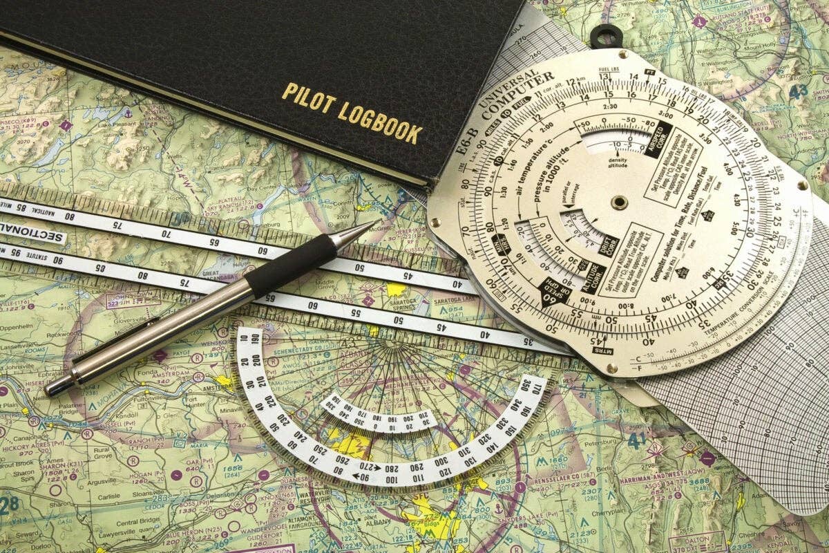
- (OAT - ISA) x 120 + pressure altitude = density altitude
Example:
Pressure altitude = 6,000 feet
Outside air temp = 13 degrees C
ISA (@ 6,000 feet) = 3 degrees C {from rule of thumb: (-2 degrees x each 1,000 feet msl) + 15 = ISA}
(13 - 3) x 120 + 6,000 = 7,200 feet density altitude
Indicated Altitude
- Indicated altitude is what the altimeter reads when the local pressure (altimeter setting) is set in the Kollsman window.
- On the ground, set the altimeter to the airport elevation (at that point on the airport); indicated altitude should be the same as the true altitude, and the setting in the Kollsman window (see opposite) should match the current altimeter setting.
- In the air, as you fly along and encounter nonstandard temperatures, indicated altitude can differ from true altitude. The colder the temperature, the more significant (and possibly dangerous) this difference can be.
- When the temperature is colder than standard, you are at an altitude lower than your altimeter indicates. When the temperature is warmer than standard, you are higher than your altimeter indicates.
- When you are flying above a location for which you obtained a local current altimeter setting in extremely cold temperatures, the true altitude of the aircraft can be significantly lower than indicated. Of course, when you reach the runway, a perfectly set altimeter should be exactly correct no matter the temperature.
- The Venturi effect of a howling wind blowing through a mountain pass can create an isolated low-pressure area that may cause the altimeter to indicate as much as 1,000 feet higher than actual altitude (in other words, the aircraft could be 1,000 feet lower than indicated).
True Altitude
- Calibrated altitude is corrected for nonstandard atmospheric conditions. It is the actual height above mean sea level, as if measured with a tape measure.
- Elevations of airports, mountaintops, towers and other obstructions are given in true altitude.
Absolute Altitude
- This is the actual height above the ground (above ground level, or agl), again as if measured with a tape measure. It may be read on a radio or radar altimeter.
- Instrument approach charts give the height above touchdown, threshold crossing height and so on in absolute altitude.
- Subtract the terrain elevation from true altitude.
Calibrated Altitude
Indicated altitude is corrected for static pressure error, installation error and instrument error.
FLYING StaffAuthor
The World's Most Widely Read Aviation Magazine|🛩 🚁 ✈️ 🚀
Related Stories

Sign-up for newsletters & special offers!
Get the latest FLYING stories & special offers delivered directly to your inbox

