
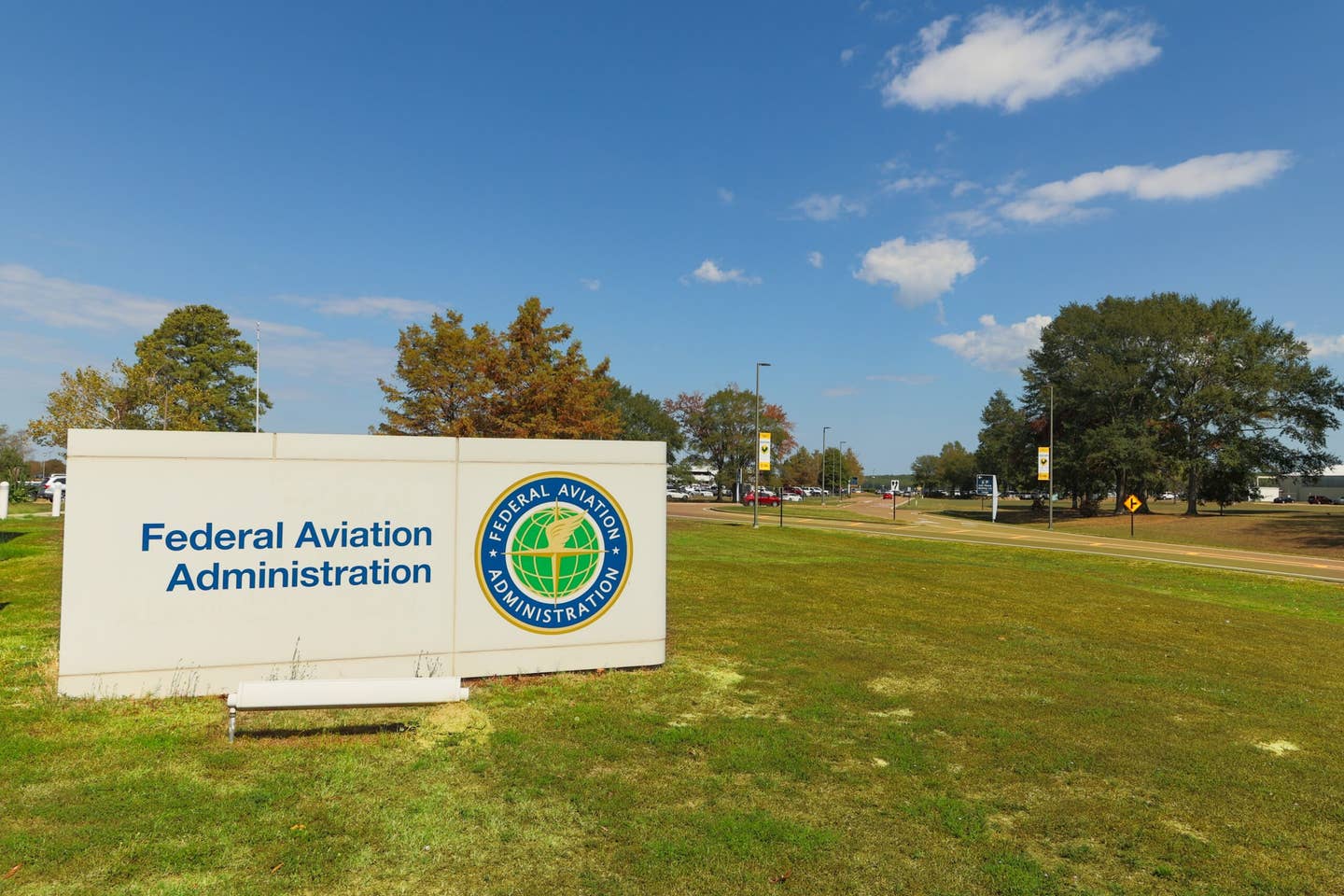
The FAA is publishing new airport grid maps that will provide the maximum altitude a drone may expect to be safely flown at when near an airport. FAA
The FAA plans to begin publishing airport grid maps on April 27. The new maps break an airport down into one-mile squares that each contain the maximum altitude a drone may expect to be safely flown at when near an airport. Altitudes that exceed those depicted on the maps will require additional safety analysis and coordination to determine if an application can be approved, the agency said. The new grid maps are expected to help drone operators improve the quality of their Part 107 airspace authorization requests. Improving those requests should help the FAA process applications more quickly.
The new maps are informational only and won’t eliminate the need to complete drone operations applications and certainly should not be confused for automatic approval to operate near an airport.
The agency is releasing the maps in phases, with the first release on April 27 containing approximately 200 facility maps. The FAA plans to release additional facility maps over the next 12 months, coinciding with the agency's existing 56-day aeronautical chart production schedule. If a specific map is not yet available, it should appear in future releases.
Users can visit the download site to choose from a variety of potential formats.


Sign-up for newsletters & special offers!
Get the latest FLYING stories & special offers delivered directly to your inbox