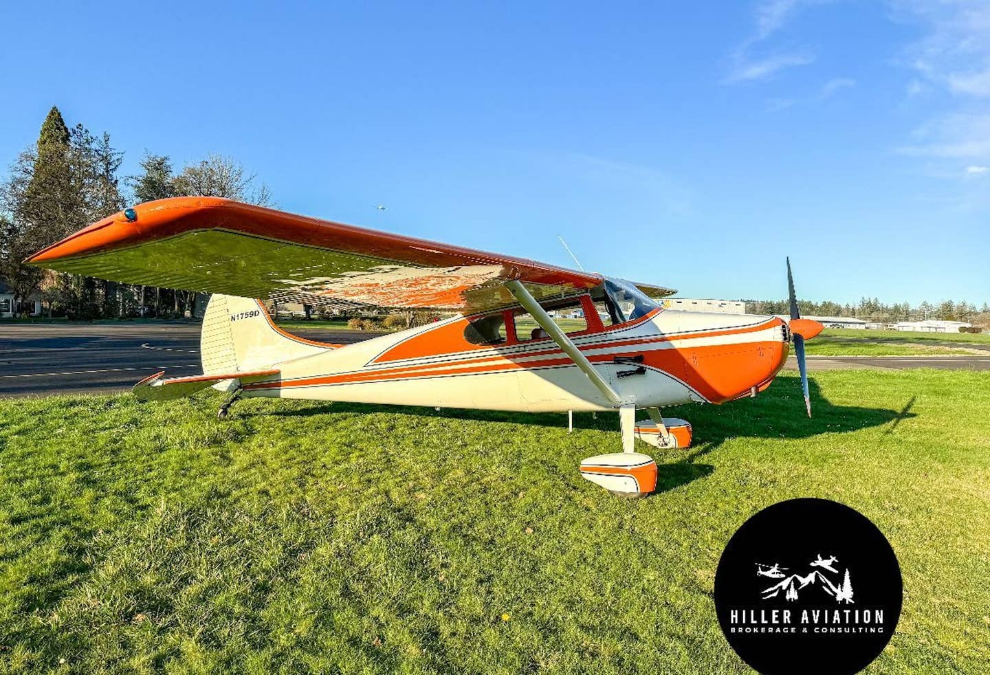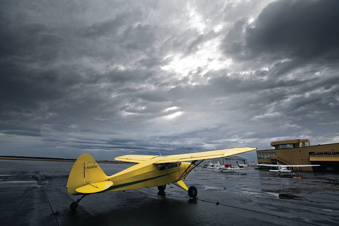
Contributing editor Sam Weigel’s VFR-only Piper Pacer is prepared to take off in marginal VFR conditions: rain showers, scattered to broken cloud cover, and lowered ceilings. Jon Whittle
One of the biggest pleasures of flying airplanes is the freedom it provides. It is not only the ability to go virtually anywhere at any time that excites, but it’s also the ability to explore things you have never seen before from a bird’s-eye view.
Part of the joy of flight is discovering some intriguing new spot on the ground. And when you do, you have the ability to descend to explore further. But the only way you can truly explore from the air is when you are flying without the constraints of air traffic control. You have to fly under visual flight rules — VFR.
Unlike IFR operations, which force you to fly specific routes and altitudes based on ATC clearances, VFR gives you flexibility. You can get flight following from ATC if you wish, but you are free to do whatever you want unless, of course, you are flying within the borders of airspace that requires compliance with ATC-assigned routing or altitudes. And unless you are cleared to go through, you have to stay out of restricted or prohibited areas.
Flying VFR is also beneficial in busy airspace. In the Los Angeles basin for example, there can be long delays for IFR departures because there are so many requests. I have held short at Santa Monica’s Runway 21 for more than 30 minutes on several occasions before getting clearance to depart IFR. Therefore, I depart VFR from SMO whenever the conditions allow.
Because of its unstructured nature, most professional flight operations’ manuals limit VFR flight. Clay Lacy Aviation’s charter operation doesn’t allow VFR operations at all. Cutter Flight Management conducts some flights under VFR, but there are limitations, such as stricter pilot experience and weather requirements.
Other professional flight operations similarly frown on VFR. “While Textron Aviation does allow VFR flights, we strongly encourage our pilots to operate under the IFR system, especially in turboprops and jets,” says John Esping, chief pilot of flight operations at Textron Aviation.
Freedom from the structure of flying in the system doesn’t mean you can set yourself loose like a foal in a green pasture. Like the 16-year-old who first gets the license and privilege to drive a car, you must shorten the loose reins and realize the seriousness of the task you are about to perform. Safe, successful VFR flight requires a lot of forethought. Here’s how you can make the most of flying VFR.
Planning Your Flight
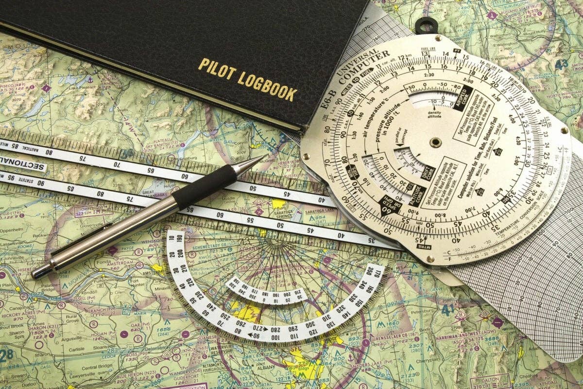
When planning a VFR trip, you must make sure that your altitude and route keep you above any terrain and within appropriate airspace. You most likely have some type of GPS device, be it in the panel or on a tablet, making VFR navigating a whole lot easier than it was in the days when dead reckoning, VORs and NDBs were the most commonly used navigational aids.
Today you can simply type in fixes or use your fingertips to rubber band your course on an electronic chart to plan a route. Just keep a close eye on the chart to make sure your planned route line doesn’t intersect any restricted airspace, temporary flight restriction areas, terrain that you can’t safely cross, or anything else that could inhibit a safe or legal flight. If the flight plan looks good, all you have to do is to follow the magenta line. A word of caution if you are using GPS: Make sure the database is updated.
While IFR procedures guide you to the runway, you have to plan your own approach. There are several components regarding your arrival airport to be researched and planned before you take off. You need to know the pattern altitude at the airport and the recommended arrival route. Study local landmarks that the tower controllers may use when they sequence you to land. Landmarks can also help you find the airport, which isn’t always easy, even when you are using a GPS.
If you are flying into an uncontrolled airport, there is even more homework to do. Should you fly the left or right downwind based on the runway in use (which you yourself have to figure out based on the current winds)? Most runways require a left traffic pattern, but some use right traffic, often to prevent overflying residential areas. While straight-in approaches are allowed, it’s a good idea to overfly the airport at 1,000 feet above pattern altitude to get a look at the airport before entering the downwind leg. This will give you time to assess the runway and any traffic in the area.
You should also study any notes to keep the airport management and neighbors happy.
Large, congested cities with expansive layers of complex airspace may be intimidating, but all that’s necessary is some preflight preparation. There are often simple VFR transition routes that will get you through the airspace. In Los Angeles there are several routes that take you through the Class B airspace right over LAX to avoid massive detours around the layers.
Evaluating the Weather
Navigation and arrival procedures aside, what takes the most research and consideration when flying VFR is the weather. As with any flight, a thorough preflight briefing and evaluation are in order. If the conditions are borderline or if you can’t get enough detailed information (many airports don’t have weather reporting stations), you could call someone at the departure and/or destination airport to get clarification. No briefing is better than direct contact. You need to make sure the weather is cooperating en route as well, and check out several potential alternates along the flight path in case the weather turns worse.
Evaluating whether you should go or not is the next step. VFR weather minimums vary significantly depending on what airspace you fly within. During the day in Class G airspace you can legally fly when the visibility is as low as 1 mile as long as you stay out of the clouds. However, most airspace requires at least 3 miles visibility and fairly significant distances from the clouds to give you time to avoid any airplanes that may come barreling out of the puffy white stuff.
But is it smart to fly just because the conditions are better than the minimum? When it comes to flying VFR, you have to look at each individual flight. If you’ve ever tried to fly, let alone drive, in 1-mile visibility, you know this is not a great idea. It may be OK for a short period of time in an area that you are intimately familiar with, but in poor visibility familiar landmarks can easily be misinterpreted. And trying to take off in such conditions in an area that you don’t know like the back of your hand would be extremely foolish.
The legal VFR weather minimums published by the FAA for the various types of airspace should not be used for planning a VFR flight. Instead, create realistic minimums based on your flight plan. If you are planning to do some takeoffs and landings in the local pattern, or taking a quick flight locally where you know the terrain and can easily track familiar landmarks, you can allow yourself to fly in fairly cruddy weather. In such cases a 2,000-plus-foot ceiling and 5 miles of visibility could be safe bets, unless you are flying through hilly terrain.
On the other hand, in mountainous areas you should be extremely conservative and remember that the cloud ceilings that you may check at various airports along your route won’t mean the tops of the mountains are visible. Be very aware of mountain obscuration and, unless you are intimately familiar, steer clear of canyons. You may get to a point where you can’t turn around, and the last thing you want to hit is what some refer to as a granite cloud — a mountain. Avoiding canyons is even more critical if you are flying a fast, high-performance airplane.
It is always a good idea to check in with Flight Service right before your departure to get a last-minute update on both the weather and any TFRs that may have popped up. Also, realize that the weather forecast can’t be trusted. Never continue into worsening weather. You may not be able to turn around if the weather continues to degrade. If the weather is worse than you expected, either turn around or land at one of the alternates you researched before your trip.
Sometimes the weather may appear to be worse than it really is. For example, coastal areas often get what is called a marine layer that envelops the coastline like a thin but VFR-prohibitive blanket. East of this layer the conditions can be graced with clear blue skies and great visibilities.
If your briefing calls for clear conditions along your route of flight but ends with IFR at the destination, and you suspect a marine layer, again, call a local FBO to see what the conditions are like at the field. If it is partial coverage (often as little as one-fifth the length of the runway with clear skies for the remainder), you could give it a shot. If the airport is towered, expect to request a special VFR clearance. It is quite likely that the marine layer has cleared off by the time you reach your destination, but be aware that the clouds could also crawl their way inland, preventing you from landing at the airport VFR. Make sure you have a backup plan and plenty of fuel on board so you can be certain of successfully executing your plan.
Staying Out of the Clouds
When it comes to cloud clearances, how do you know whether you are adhering to the regulations? Well, the best way is to be ultra conservative and not fly anywhere near the clouds. While playing in and around the clouds may be fun, it should only be done on an IFR flight plan. But if you really are considering pushing the limits of cloud clearances, here are some guidelines.
If you plan to practice takeoffs and landings at a Class D airport where the pattern altitude is 1,000 feet, for example, you would need a reported ceiling of at least 1,500 feet to stay 500 feet below, as is the minimum for that type of airspace. Staying 1,000 feet above the clouds is tricky, but imagine the height above ground in the pattern and try to stay at least that far away from the tops of the clouds. The 2,000-foot lateral distance can be estimated through landmarks on the ground. But again, the best thing is to stay well clear of the white puffy stuff. Wouldn’t you hate to have an airplane suddenly appear at 250 knots, giving you no time to divert?
That brings up another point. If you decide to fly in marginal VFR conditions, request flight following from air traffic control. They know where the IFR traffic is, and, while it is still your responsibility to keep yourself away from clouds, terrain, obstacles and other traffic, ATC will provide some guidance. And if you get into trouble, you are already talking to someone who is likely able and willing to help.
It is easy to get caught in the get-there-itis mind-set, a condition that has resulted in many pilots and passengers perishing for no good reason. When flying VFR you need to always be willing to cancel your flight and give yourself options. Find several good alternate airports where you could land if the weather is worse than forecast. Bring an overnight bag to make sure you are ready to call the flight off in case you are grounded away from your home base. Always prepare your passengers and loved ones waiting for you at home for that possibility too.
There are times when it can be difficult to make a go/no-go decision. I follow a simple rule of thumb: If I think for a minute “it should be OK,” then I re-evaluate. If I can’t say, “it will be OK,” then I don’t go. I don’t need to know with certainty I will be able to make it to my destination. But I make sure I have options that will keep me in solid VFR conditions or put me on the ground before the conditions deteriorate.

Sign-up for newsletters & special offers!
Get the latest FLYING stories & special offers delivered directly to your inbox


