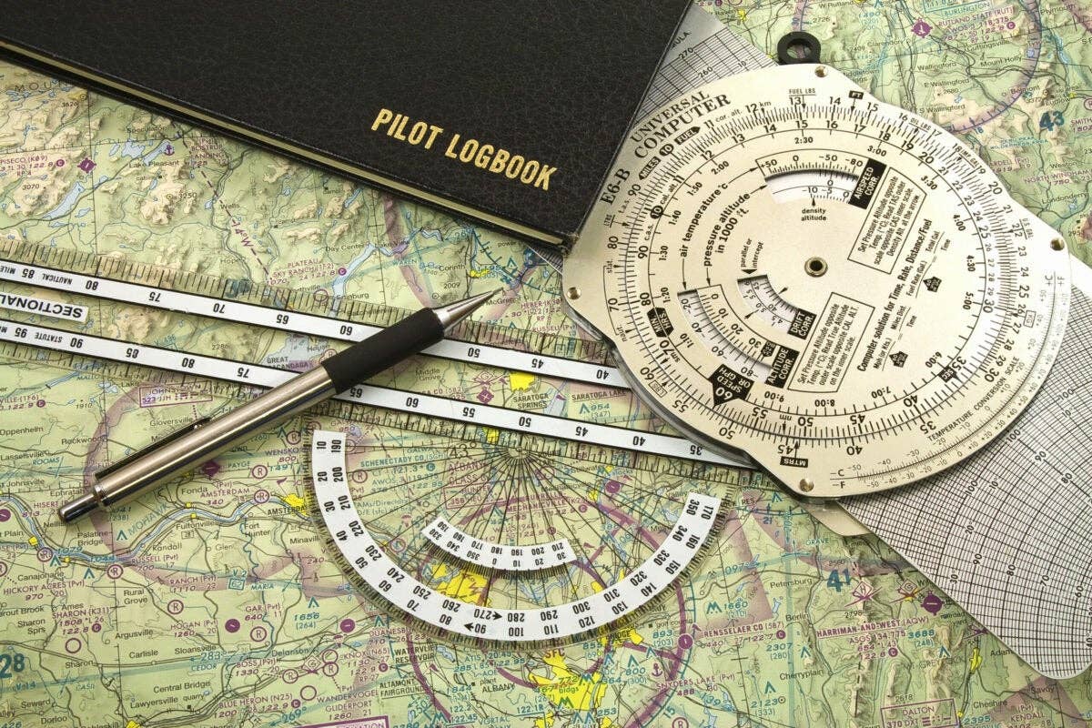
Weathering bad weather is best done by the book. iStock/Nayuki
Weather is one of the biggest variables in general aviation flight and a contributing cause of many accidents. While there is no way for us pilots to control the weather, we can modify our flight paths to prevent unplanned encounters with Mother Nature. Fortunately, doing so has become a lot easier in the past few decades. With the recent implementation of ADS-B, we have access to live weather information, either on a panel-mounted device or a tablet, without paying for a monthly subscription.
As a budding pilot two decades ago, I didn’t have the luxury of live weather in the cockpit or multiple apps or websites from which to obtain weather data. Pilots had to get their weather forecasts and reports from local flight service stations—FAA offices focused on providing information to pilots. Many years ago, I visited the FSS in Hawthorne, California, which has since closed. It looked much like an air route traffic control center—a windowless room filled with computer screens and several briefers who deciphered the weather data and relayed it to pilots dialing in on 800-WX-BRIEF or from a frequency while airborne.
Calling for a weather briefing was initially somewhat intimidating to me. I understood probably less than half of what the briefer was saying. But the call provided an opportunity to ask questions regarding the weather—a service that apps and websites don’t offer. When the briefer said, “VFR flight not recommended,” it was easy to decide to stay on the ground (before I got my instrument rating, that is).
Once I started flying in the clouds, things got more complicated. Understanding what the weather was doing—and, more important, where the most severe areas were—was a challenge. About a year after I started my primary flight training and had finished my instrument rating, I was building time toward my commercial certificate. My boyfriend at the time and I decided to make an actual cross-country flight to build multiengine time. We rented a Beechcraft BE-76 Duchess for two weeks and flew it from Torrance, California, to Martha’s Vineyard off the coast of Cape Cod in Massachusetts.
Our trip took place in the middle of summer, so we had mostly CAVU skies, which suited us West Coast pilots. We rarely had a chance to fly in clouds at home, but we had a scary encounter on our way back, somewhere above Pennsylvania. There were thunderstorms in the forecast, but they were scattered, and we decided to press on. We ended up in IMC, and after a while in the clouds, we started experiencing some pretty bad turbulence. In a flash of a second, all our electrical equipment went dark. No radios. We looked at each other, surprised and a bit scared.
Fortunately, the electrical systems came back after just a couple of minutes, though those minutes felt like hours. We called ATC immediately to let them know what happened and requested vectors away from the storm. We got out of the clouds and stayed out for the duration of the flight.
My first solo encounter with thunderstorms came in 2002 when I was flying a Liberty XL2 from California to Florida. If you’re not familiar, the XL2 is a two-seat, carbon-fiber airplane with a claim to fame of being the first piston-powered airplane to be certified with an engine equipped with full authority digital engine control—the 125 hp Continental IOF-240-B. I was the West Coast sales representative at the time and had to bring my demo airplane back to the factory in Melbourne, Florida. I had spent the night in Pecos, Texas, and continued my track through what seemed like the never-ending state of Texas in this 120-knot airplane.
My weather briefer told me there were storms east of my position, but I nevertheless decided to take off. I figured I could fly beside, below or above the weather; I was unable to fly IFR because, at that time, the airplane was only certified for VFR flight. Well, with thunderheads rising from nearly ground level to what appeared to be 20,000-plus feet, and stretching for hundreds of miles, my plan failed miserably. After flying around for a while, trying to find a way through, I diverted south and landed in Del Rio, where I spent the night.
When I first started flying with the Garmin G1000 equipped with datalink weather, I was excited. Here it was: real-time radar, metars, TAFs, winds and GPS navigation—all on a screen about the size of the TV I grew up with. However, information is only as good as what you understand and respect, so, at times, having access to real-time weather got me into trouble rather than out of it.
There are a couple of flights in particular I will never forget. I was flying from the William P. Hobby Airport in Houston to the Johnson County Executive Airport in Olathe, Kansas, located at the southwestern edge of the Kansas City metropolitan area, for an event that started that same evening. Severe thunderstorms were forecast in the area, but I had the G1000 in the Cessna 400 (originally designed by Columbia Aircraft) I was flying, so I was not concerned. As I approached Kansas City, I could see all kinds of colors on the MFD on the west side of city. The Johnson County Airport was right at the edge of the color patterns on my screen. It was forecast to be bad all night, so there was no way to wait out the storm if I was going to make it to the event. I decided to go for it. After all, the airport was outside the red and magenta areas, depicting the most severe precipitation.
I was fortunate to be in an airplane built to withstand a lot of stress. The airplane was certified in the utility category, which meant it was built to withstand higher G-loads than airplanes certified in the normal category. There were strong winds, and I kept my speed up to make sure any potential wind shear didn’t bring me down. I could see lightning and weather phenomena that I can only describe as extreme—things I had not seen before or after. I landed just before really heavy rain began at the airport. Had I been forced to go around, for whatever reason, I might not be here to tell the story. I saw firsthand why I should stay well clear of thunderstorms, particularly on the downwind side.
Unfortunately, that wasn’t the only time I snubbed the bright colors on the screen. On another trip in the Cessna 400, I was flying from my home base of Colonel James Jabara Airport in Wichita, Kansas, to Olive Branch Airport in Mississippi. A very thin line of red extended for what looked like hundreds of miles across the G1000, right across my flight path. I was impatient and thought to myself: “It’s really thin—how bad can it be?” Well, let me tell you. It was bad. I have never experienced such turbulence—before or after. I even hit my head in the ceiling a couple of times. There was also heavy precipitation. I remember being thankful I was by myself because I wouldn’t have wanted to expose someone else to this debacle. Fortunately, it didn’t last long. But the experience taught me firmly never to challenge the weather gods again.
Once I learned how to properly use the in-flight weather data to my advantage, the information on the screen kept me out of the bad stuff. I flew from Addison Airport in Dallas to Jabara on a day when severe thunderstorms and tornadoes were forecast over Oklahoma. This time, I stayed upwind of the storm. It was one of the most spectacular flights I’ve ever experienced. The western edge of the angry-looking storm was marked by a wall of billowing clouds, extending from the ground to tens of thousands of feet up. It was as if I were flying alongside a never-ending, living sky scraper. It appeared as though the water molecules inside the clouds were boiling—large balls of clouds kept rolling up the virtual wall. But despite the intense weather event taking place just a few miles east of me, the conditions where I was, and as far west as I could see, were perfectly clear, and there was not the slightest bump of turbulence.
In my Mooney, I have ADS-B In, which provides me with similar information as the G1000 in the Cessna 400. The free weather data is received by the L3 NGT-9000 Lynx, and it is displayed on its touchscreen, as well as on the Avidyne IFD 540 and 440 and Aspen Evolution 1000, all of which were installed for long-term flight testing in cooperation with the manufacturers. The combined systems, along with my experience gleaned from flying behind a variety of weather displays, help me to stay out of extreme weather.
5 Fast Tips to Stay Out of Thunderstorms
- Look at the trends. How has the shape of the storm changed in the recent past? In which direction is it going? Storm cells can change course or grow. Don’t get yourself stuck with no point of return.
- Stay upwind of the storm. If you fly downwind, you’re essentially flying into the storm. Lightning, turbulence and other dangerous weather phenomena can extend well beyond the edge of the precipitation.
- Respect the colors. Just because a colorful area on the screen is small doesn’t mean it won’t take you down. Stay well clear.
- Call an expert. If you have trouble understanding a weather pattern during your preflight, call 800-WX-BRIEF. The expert can clarify the data to help you make a go/no-go decision.
- Wait it out. You can never go wrong with staying on the ground when the weather gets intense. No meeting or event is worth risking your life over.

Sign-up for newsletters & special offers!
Get the latest FLYING stories & special offers delivered directly to your inbox

