I.L.A.F.F.T.: The Glide Slope
A faulty glideslope connection fools a pilot into following the instrument’s needle almost into the ground.

Credit: Joel Kimmel
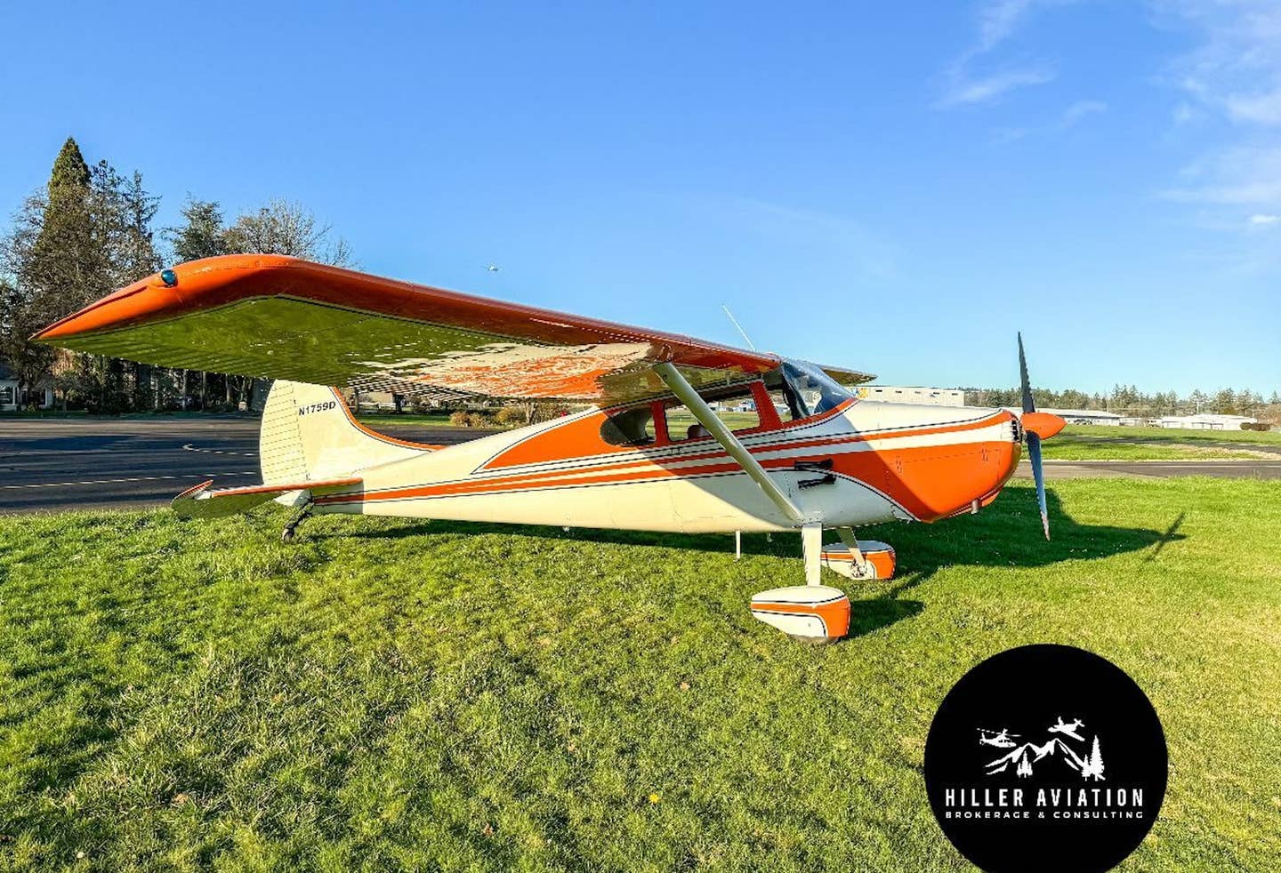
It was 2001, and an IFR-approved panel-mounted GPS had just been installed in my airplane, a Cessna 180. I was anxious to see it in action with its moving map, multitude of functions, and the information it provided. A short 20-minute flight to a nearby airport for breakfast with a friend and some hands-on use of the new equipment was in order.
The weather at the breakfast airport that morning was not VFR because there was a low marine stratus layer. The AWOS reported instrument conditions, with a 300-foot overcast but reasonable visibility of 4 miles below the cloud deck. Because I pride myself by staying instrument current, this would help me stay current.
The airport is served by an ILS (with 200-foot and half-mile minimums), and the local approach controller can give vectors for the approach, though they lose radar coverage around the final approach fix.
I asked the controller for the approach using a pop-up clearance, and I quickly received one with assigned altitudes and headings. As I entered the clouds, the GPS provided course information to the airport. I completed the before-landing checklist, verified the settings on the radios, knobs and switches for the approach, and listened to the Morse-code identifier for the ILS to verify that the approach frequency was properly identified. I reviewed the approach plate one more time.
I loaded the approach into the GPS—albeit this would be a backup to the primary navigation instrument, an HSI that would be presenting localizer and glideslope information from the ILS transmitter. The only new piece of equipment installed was the GPS; the rest of the radios had been in place for years and worked well. I enjoyed the tracking of the flight on the GPS’s moving-map display, and I wondered how I had managed to fly 40 years without one.
“A third flag of sorts is the glideslope indication. For the needle to appear, a valid glidescope signal must be received.”
Somewhere on an extended base leg—at about 8 miles from the airport and a thousand feet above the final approach fix crossing altitude—the localizer came alive with correct steering information. At the same time, the glideslope needle appeared from the top of the HSI instrument case and centered itself.
The controller gave me a heading to intercept the localizer and a descent to the final approach fix altitude. The approach appeared normal, just like a hundreds of others that I had flown. Shortly afterward, the localizer centered, and as I was descending, the glideslope remained centered. Monitoring the progress on the GPS, I could see the passage of the final approach fix and observed the marker beacon flashing along with its audio signal and the reversal of the ADF needle. I reduced power for the final approach, started the approach timer, reviewed the decision height and missed-approach instructions, and listened one more time to the latest weather on the AWOS—still 300 feet and good visibility underneath.
I continued the approach. I thought to myself what a marvelous job I was doing tracking the localizer—it is easy with an HSI and the map on the GPS. Descending through 1,000 feet and still in solid cloud, every indication suggested this was just another typical ILS, and soon, the airport or lights would be visible. I continued the descent.
When flying IFR approaches, I try and stay on the gauges until I’m obviously clear of the clouds and can see the runway. At about 200 feet above the decision height, I started to see the ground out of the side window with my peripheral vision. I glanced up, and to my amazement, all I could see were trees—big trees. They were everywhere, surrounding me.
I immediately arrested the descent and applied go-around power and started to climb. I missed hitting the trees but only by a few feet. I reentered the clouds and called a missed approach to ATC. As I transitioned back to the instruments, the localizer was centered as it should be, but I was astonished to see the glideslope also centered during the climb. It should have been pegged at the bottom of the HSI as I climbed.
I was now well-above the glideslope in the missed approach, still the needle remained centered. It remained centered until I selected a different navigation frequency. I had just flown an ILS approach with inoperative glideslope, and I didn’t realize it. The glideslope needle was moving up and down during the approach, was it not? I was correcting for its movements up and down with power and elevator inputs, right? The answers were all “yes”; I believed I was following a live glideslope. In reality, it was dead. If it moved at all, it was very small and probably caused by electronic noise. I had just cheated death.
I have since reviewed that flight over and over, as well as my HSI’s operation to understand its normal and abnormal indications. The “HDG” flag will appear when the aircraft’s heading is not in agreement with the remote gyro’s input from a flux detector. This is the slaving system, and it was working fine. A second flag also exists, known as the “NAV” flag. It appears if there is no signal to drive the course needle coming from a VOR or localizer transmitter. I have GPS steering also available on this instrument. When there is a valid VOR, localizer or GPS signal, the flag disappears, and the course needle comes alive.
A third flag of sorts is the glideslope indication. For the needle to appear, a valid glideslope signal must be received. This is paired with the localizer frequency and simply set into the VHF radio. If there is no glideslope signal, the glideslope needle disappears into the top of the instrument case—as in a localizer approach. If there is a signal, the needle comes alive and follows the signal. The mere appearance of the glideslope needle is the indication that the HSI is receiving the signal, and the position of the needle on the instrument case indicates the position of the aircraft with respect to the course being followed. On my HSI, there was no flag to tell you that the glideslope is working.
Upon returning to the maintenance shop, it was discovered that in the process of installing the GPS, a wire had separated from a plug on the back of a radio. This wire was the circuit that drives the up/down indication for the glideslope in the HSI, and when this occurred, the glideslope needle appeared but centered itself to the on-course indication.
Many airplanes have a second glideslope indicator for redundancy; mine does not. Lastly, controllers tell me that they have the responsibility to vector an airplane for an ILS approach so the airplane intercepts the glideslope from beneath it—not at the glideslope or above the glideslope but from below it. In my case, the first indication of a live glideslope was a centered indication; I should have been suspicious of it from the beginning rather than simply following it—almost into the ground—short of the runway.

Sign-up for newsletters & special offers!
Get the latest FLYING stories & special offers delivered directly to your inbox


