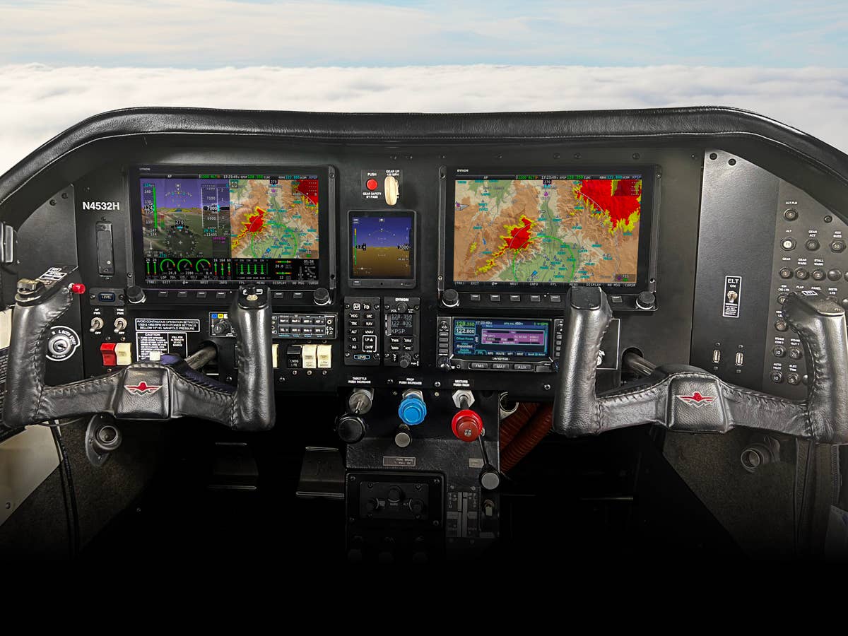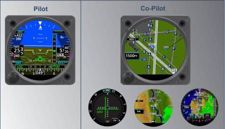
Aspen Avionics announced at AirVenture it now has geo-referencing for the approach procedures and airport diagrams shown on Aspen multifunction displays (MFDs). Working with software provider Seattle Avionics Software, Aspen now offers geo-referenced versions of the government's AeroNav (formerly NACO) charts for Aspen's EFD1000 and EFD500 MFDs. The feature incorporates Seattle Avionics ChartData library, including U.S. instrument approach procedures (IAPs), standard Departure procedures, standard terminal arrival route charts (STARs), and airport diagrams. With the new capability, pilots can track their path while following the approach procedure from the cockpit. The new software comes standard on all Aspen MFDs and ChartData subscription updates are available through Seattle Avionics Software. One-time updates cost $99 and annual subscriptions are priced at $299. Downloads can be accessed through the Seattle Avionics website: www.seattleavionics.com/aspen.

Sign-up for newsletters & special offers!
Get the latest FLYING stories & special offers delivered directly to your inbox


