Western North Carolina Air Traffic Up 300 Percent After Hurricane Helene
Temporary control towers have been established in storm-affected areas of the state, as well as flight routes created to separate civilian and military aircraft.

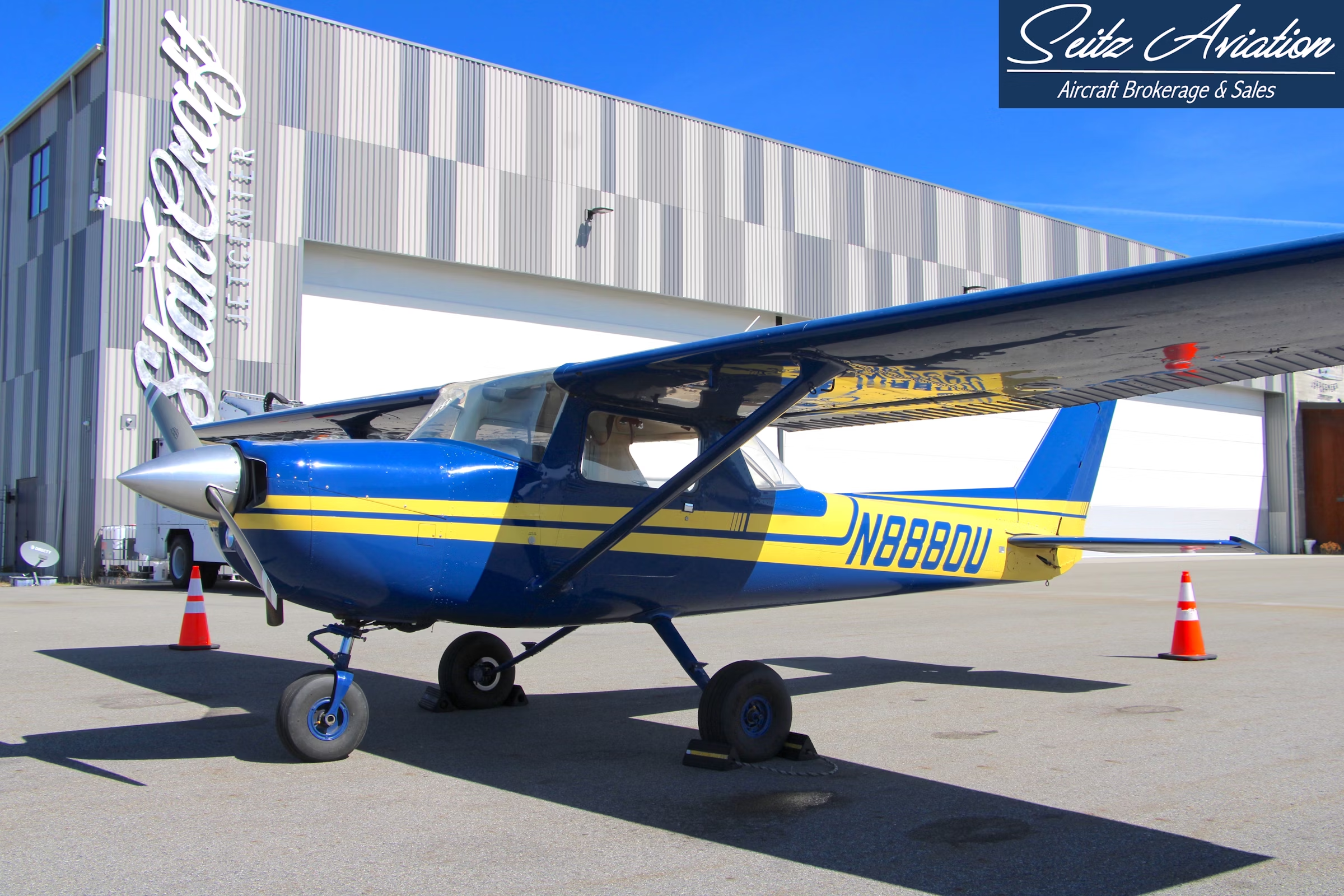
The North Carolina Division of Aviation—working closely with the FAA, U.S. Department of Defense, and FEMA—has established temporary control towers to facilitate the smooth flow of air traffic and reduce congestion. [Courtesy: North Carolina Division of Aviation]
Western North Carolina is experiencing a 300 percent increase in air traffic as aircraft continue to deliver supplies to the storm-ravaged communities in the aftermath of Hurricane Helene, according to the state’s aviation officials.
The North Carolina Division of Aviation (NCDA)—working closely with the FAA, U.S. Department of Defense, and FEMA—has created designated flight routes to separate civilian and military aircraft, as well as establishing temporary control towers to facilitate the smooth flow of traffic and reduce congestion.
Prior permission is also required (PPR) to land at certain airports. As of Wednesday, PPRs were in place at Asheville Regional Airport (KAVL) and Rutherford County Airport (KFQD). A PPR line has been established, and pilots are requested to call ahead to schedule landing and unloading time. Space on the ramp for aircraft parking and fuel also need to be coordinated.
Pilots are reminded to check the Notice to Air Missions before each flight.
Over the past week, our NCDOT UAS teams have flown 200+ missions, capturing nearly 6,000 images to get crucial updates on the condition of roads, bridges, and infrastructure after #HelenNC.⁰⁰Thank you to our team for their tireless efforts in this important work. pic.twitter.com/bZbGwbcNux
— Division of Aviation (@NCAviation) October 7, 2024
The FAA may issue an Airspace Coordination Area (ACA), which is an advisory about unusual situations or congestion that can impact a flight. For example, there is an ACA in use over western North Carolina to alert pilots to congestion related to military relief efforts.
Pilots delivering supplies need to make sure there is a community-based organization ready to receive them at the airport. The airports are not being used as distribution points. Additionally, pilots should be aware that fuel is limited as many of the roads that the tanker trucks would use to access the airport may be damaged and unusable.
NCDA said pilots need to also be aware of Standard-use Army Aircraft Flight Routes (SAAFR) designed to separate civilian from military traffic. These SAAFRs are corridors in the sky and have specific protocols and communication procedures. Check the NOTAMs for details.
In addition, temporary flight restrictions (TFRs) can pop up at a moment’s notice to facilitate search and rescue, emergency surveillance and the like. Relief operations, including civilian and volunteer operations, may access the restricted airspace if they are coordinated with emergency responders. Check TFRs frequently here.


Sign-up for newsletters & special offers!
Get the latest FLYING stories & special offers delivered directly to your inbox