Chart Wise: Charlottesville RNAV (GPS)-Y Rwy 21
There’s a lot to know when flying into KCHO.
[FLYING file photo]
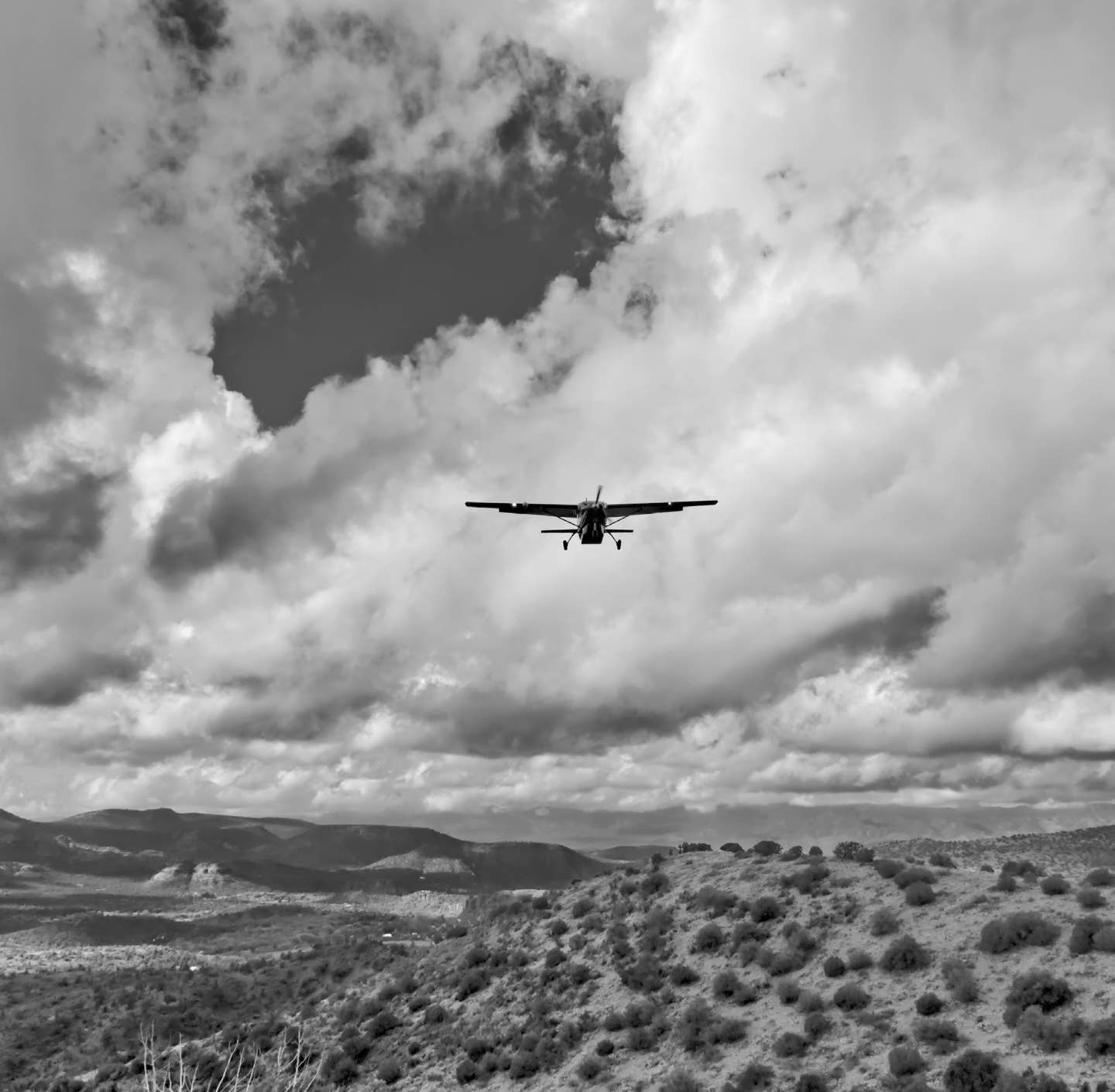
With the nearby Blue Ridge Mountain foothills, Charlottesville-Albemarle Airport (KCHO) in Virginia is a great airport entry point for a pilot to access nearby Shenandoah National Park for short hikes or longer stretches of the Appalachian Trail. Or maybe drop in for some great dining, local wine, or shopping. For any visit, this is a commonly used approach.
If you're not already a subscriber, what are you waiting for? Subscribe today to get the issue as soon as it is released in either Print or Digital formats.
Subscribe NowA) Multiple IAF Points
IAF points are denoted at CLBRT, WCKHM, HOODE, JASAI, or even the WITTO waypoint for this approach. The approach is set up so that a pilot can transition onto this approach from virtually any direction. From any of these points, you can transition to WITTO waypoint and inbound on the approach. All of them indicate that NoPT (No Procedure Turn) is required except the WITTO waypoint. Joining here would require a hold entry be conducted at or above the minimum published hold altitude at WITTO.
B) Terrain to the West
A variety of denoted elevation features are included on the chart as a reminder that there is higher terrain out to the west. Some of this terrain is higher than approach path altitudes, so don’t stray off course.
- READ MORE: Chart Wise: Ocean City (KOXB) LOC Rwy 32
C) Descents Through Waypoints
Pilots transitioning through the CLBRT, WCKHM, HOODE, or JASAI waypoints will be at altitudes of 5,100 feet msl or 4,300 feet msl. After WITTO, there is a stepdown that will have a pilot descend to 3,400 feet. After ECEUS they can go down to 2,400 feet, and after the FAF at MUSOJ farther descent is possible to minimum descent altitude (MDA). This continued stepdown requires a pilot to plan and manage their configuration and power settings to stay above minimums while then reestablishing descents to the next lowest altitude. Don’t descend too early, but don’t get behind the airplane either.
D) Turns Along the Final Approach Path
From the WITTO waypoint, a pilot would fly a track of 209 degrees through ECEUS and to the MUSOJ waypoints, but here a turn is required. From MUSOJ, a track of 196 degrees is required through WUBAK and to the ORMEY final waypoint, where a pilot would go missed if they did not have the runway environment in sight. Don’t miss the turns to follow the course on this approach.
E) Offset Final Approach Course
A note on the chart indicates that the final approach course is offset 14.51 degrees. A pilot might surmise this is going to be the case when the final approach inbound course is 196 degrees for a Runway 21, but this is a good thing to highlight. Be ready for the last leg of your approach to not align exactly with the runway.
- READ MORE: Chart Wise: Spirit of St. Louis ILS 26L
F) LP or LNAV…No Glideslope
While many GPS approaches have LPV minimums given, where a pilot can expect a glideslope that is WAAS based, that is not the case here. While greater lateral WAAS minimums are available, as denoted by the availability of LP minimums, a glideslope should not be expected. If your GPS system offers one, it will be only a suggested glideslope and would not lead a pilot to a “decision altitude.” This approach includes only MDA minimums.
- READ MORE: Chart Wise: New Orleans VOR DME 36L (KNEW)
G) Missed Approach Is to a VOR
While this is an RNAV GPS-based approach, if a pilot has to go missed, they will actually be transitioning to a VOR for their hold unless otherwise vectored. The GVE VOR has a depicted hold of 033 degrees inbound. The good news is that you aren’t required to do the hold using the VOR; you can still use your GPS to fly this hold. It is noted as a 4 nm hold, not a traditional timed holding procedure.
This column first appeared in the May 2024/Issue 948 of FLYING’s print edition.

Sign-up for newsletters & special offers!
Get the latest FLYING stories & special offers delivered directly to your inbox

