Finding a Deer in the Headlights
An evening outing turned into a near miss for a Seattle-area pilot.
[Credit: Joel Kimmel]
Out in the Seattle area, it doesn’t get dark until late during the summer months, so if you want to be night current, it requires staying up pretty late. It was a little easier on September 8 a couple of years ago, with sunset happening around 7:30-ish and “night” falling an hour later... still late for an early riser like me.
Since I was planning a flight the following week during the day from Paine Field (KPAE) in Everett, Washington, to Jefferson County International Airport (0S9) to take a taxi into Port Townsend, then fly back to Paine after dark, I needed to get night current. Having not flown at night much over the last couple of years, I thought that I would prepare in advance.
If you're not already a subscriber, what are you waiting for? Subscribe today to get the issue as soon as it is released in either Print or Digital formats.
Subscribe NowI rented a Cessna 172 from Regal Air at KPAE and scheduled company CFI Nick Butterfield to come along to make sure that I was up to speed. Instead of just doing three stop-and-goes on Paine’s 9,010-foot-long runway, I asked Nick to put me under the hood to see if I could keep a heading and altitude without looking at outside references, then do a couple of night landings at “JeffCo.”
The hood work turned out to be a very good idea. I was very rusty on instruments. “That’s harder than I remember,” I told Butterfield as he asked me to climb from 2,500 to 3,500 feet while changing directions from west to south and descending down to 2,700 feet while turning to north and then back to the west. Keeping straight and level at a prescribed altitude provided a challenge. It seems that I had trouble with my scan. Focusing on the altimeter caused my heading to drift and vice versa. It took several attempts before I could get it right.
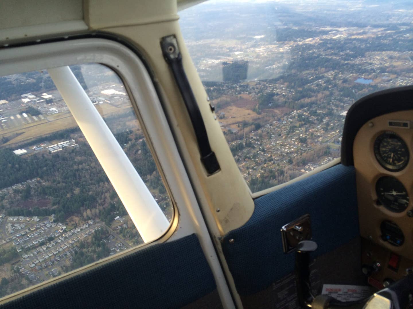
After the hood work, it was well after dark but a beautiful, clear, calm night to fly 20 miles over Puget Sound, picking out city lights on the shoreline. As we got near JeffCo, I let Butterfield know that I had flown there many times, even back in the day when it was the only U.S. international airport with a grass field, but never at night.
Butterfield shared that he had not either. He said he avoided that airport at night since it was set in forests that, in the dark, looked like a “black hole.” He also heard that wildlife could be a problem in those conditions.
“It looks like we are both in for an adventure,” I said. Around 7 miles out near Port Ludlow, we headed toward Port Hadlock to avoid overflying a Navy-restricted area on Marrowstone Island. We switched to JeffCo’s frequency, and Butterfield checked the weather and learned that the winds were calm and that there was no other air traffic. He then asked me what I planned to do next.
I told him that I was going to continue along the shoreline, get the airport lights in sight, turn west from the shoreline, and then go on a 45-degree entry to a left downwind to Runway 27 for a full-stop landing. He responded, “Right answer.” After beginning a descent to pattern altitude of 1,100 feet, it did seem like we were over a black hole with only a couple of cellphone towers and the distant runway lights in view.
After turning on the 45, the airport complex came into full view, and my first night landing in a long time was OK. The second was a bit better. After landing, we exited the 3,000-foot runway and taxied back to 27.
Along the way, I let Butterfield know that there was a very good restaurant called the Spruce Goose Cafe at the airport that is definitely worth a breakfast or lunch flight and that the Port Townsend Aero Museum offers a great variety of military and civilian aircraft. But one of the best reasons to fly to JeffCo is that it is just a 10-minute taxi ride from the historic seaport of Port Townsend.
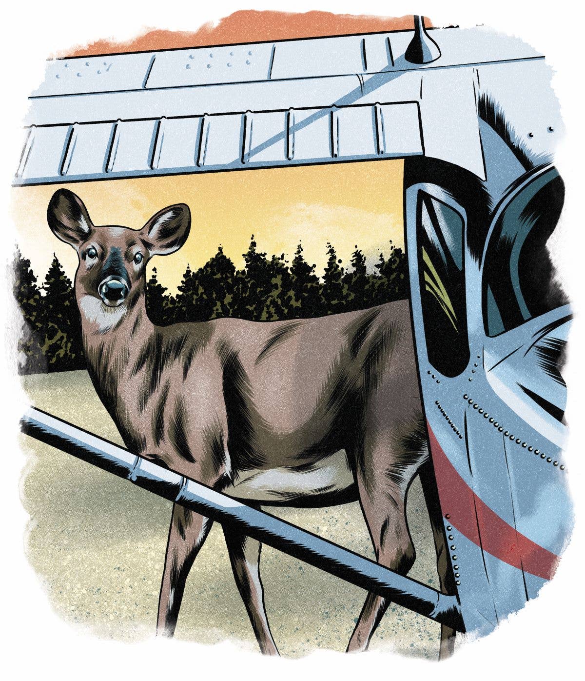
At the end of the taxiway, I came to a full stop and looked around, announced our intention to depart on Runway 27 for a left downwind departure, and began to enter the runway. Then we both saw a deer scamper away from the south side of the runway, and I came to a full stop on the centerline. We both looked around and did not see any more critters.
I pushed in the throttle and began the takeoff roll. Suddenly, another deer ran from the north side of the runway, coming to a dead stop on the centerline and staring at our landing light. I yanked the throttle out, hit the brakes hard, and stopped less than 10 feet from the deer.
After pausing to look at us, the deer sprinted to the south side of the runway, disappearing into the darkness beyond the runway lights. Butterfield and I took a deep breath and stared at each other. “That was quite a wildlife experience,” I said.
“If you hadn’t hit the brakes,” he said, “that would have been very messy.”
Not exactly sure where we were on the runway, and a bit excited, I decided to taxi to a midfield exit and go back to the start of Runway 27 for another attempt. Fortunately, that takeoff was uneventful.
We headed back to KPAE, where there are no blackholes around the big complex that includes one of Boeing’s large facilities to the north of the runway. However, the tower closes after 9 p.m., and there were five aircraft in the pattern, all trying to get night current. Adding to the multiple headlight scenario, a Horizon Air pilot announced, “Inbound for landing on 34 left, 10 miles out.”
Those of us in the pattern extended our downwind legs a few miles before attempting to land. I gave myself a “B” grade on the first attempt. The next try was a squeaker I deemed worthy of an “A.” Time to call it a night and talk more about deer in the headlights. Butterfield filled in my logbook: “Four night landings; one deer near miss.”
After that experience, I will follow Butterfield’s lead and avoid JeffCo after dark. The next week, I took off just before dark from the airport—avoiding more deer in the headlights—and got back to Paine before the tower closed so it could direct traffic.
Tom Murdoch is the director of the Adopt A Stream Foundation (www.streamkeeper.org), conducting aerial wildlife surveys and taking aerial photos of the organization’s stream restoration projects.

Sign-up for newsletters & special offers!
Get the latest FLYING stories & special offers delivered directly to your inbox

