** An Alaska flying journey brings not only
adventure, but shared memories for one
father and son.**
In 1804, Meriwether Lewis and William Clark departed from St. Charles, Missouri, for a two-year exploration of America, inaugurating a grand American tradition that has persisted to this day — the road trip. Maybe it's due to my airline pilot lifestyle, but I have never been a fan of travel for travel's sake so my desire to fly the Alaska Highway sort of surprised me. I stand in stark contrast to my father, who was born with an adventurer's heart and has been to many a remote locale in his years on this planet.
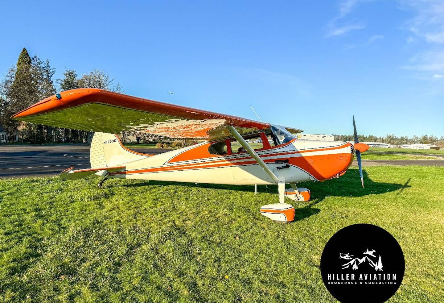
In the 1970s and early 1980s, his wandering took him on flights of exploration through Canada to Alaska no less than five times, lifted on the wings of his Cessna 182. We'll call this his Alaska period. I can recall, as a teenager, accompanying Dad and my ever-suffering mother on two of these flights of fancy before adolescent hormones dictated that they continue on alone. As the intervening decades have slipped by, however, I have often thought of those flights as the epitome of aeronautical adventure. Recently, a growing urge began manifesting itself in my sedentary middle-age soul, slowly forming into a yearning to maybe try it for myself. So the seeds of my Alaska Highway adventure were sown.
A flight to Alaska will take you just about as far away from wherever you might call home as you might want to travel while still keeping you within the confines of North America. A quick check online showed more than 2,300 miles of farm fields, trees and mountains between my home in Wisconsin and Fairbanks, a daunting distance. Still, though, as I turned the idea over in my mind, I slowly warmed to the notion that maybe my dad and I could make that trip one more time. I thought about that for a couple of years before mentioning it to Dad, who, while long in years, still has the heart of a 20-year-old. Ultimately, just last year the idea matured into decision, driven by the basic fact that, at the ages of 51 and 82, there clearly is no time like the present. I started making plans for what would eventually become our Alaska Highway trip.
Making Trails
Flying to Alaska is not something you embark on one afternoon like a $100 hamburger flight. Flying to Alaska requires planning, lots of planning. Most importantly we had to determine a route. There are three established aerial tracks one might use to venture to Alaska from the lower 48.
The first entails a flight up the beautiful Canadian coastline and the Inside Passage. It is the most direct track for those on the West Coast and, most importantly, those not afraid of flying over frigid water. For me, though, the thought of flying over a thousand miles of sea and desolate shoreline was a big turnoff. In the Piper Arrow rental, we would have no rafts or even life preservers. In such cases I deviate around large lakes.
Westerners will find the "Trench" route through British Columbia more direct, but it necessitates an imposing 300-mile stretch of flight over wilderness with no comforting alternatives for a landing in the event of an engine failure. The experience of one off-airport landing in my life was enough for me to look elsewhere.
That left only the third possibility. From our starting place in Wisconsin, the most convenient and the least challenging route was to follow the Alaska Highway over Alberta, British Columbia, and the Yukon to the 49th state. The Alaska Highway was built during World War II to transport troops and materials to Alaska and has acted as a lifeline connecting communities along its course ever since.
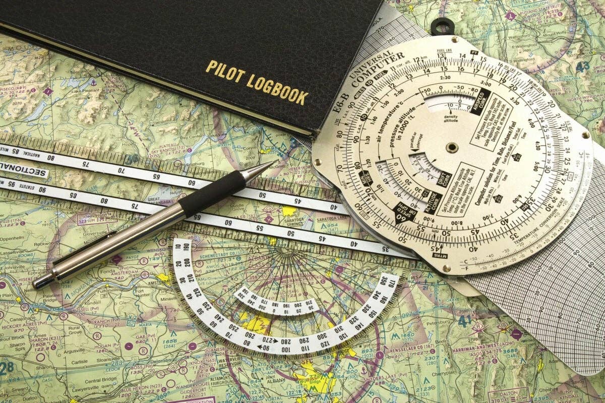
And so our Alaska Highway adventure began very early one morning late in June. Dad and I hoped to make Edmonton, Alberta, by nightfall but would settle for setting foot on Canadian soil. The Arrow was laden down with supplies, suitcases, extra oil, tiedown ropes (don't expect to find them in Canada) and maps. Lots of maps. Dad brought his entire collection from 35 years ago to augment my own.
Both Canada and Alaska require aircraft to carry survival equipment, including a knife, hatchet, first aid kit, fishing tackle, mosquito head net, matches, signaling devices and survival rations sufficient to meet the caloric intake needs of all occupants for one week. Ours were heavy on granola bars and Saltine crackers. Should we have opportunity to make use of our stash, variety would be sorely lacking.
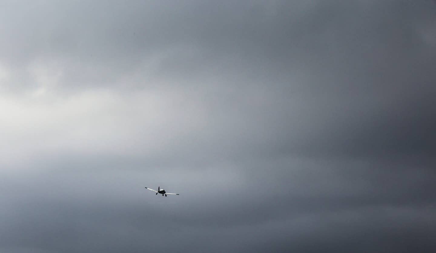
But such thoughts were far from our heads on this glorious day. Dad, the Arrow and I hung from the heavens as the rich farmland of mid-America rolled by like a conveyor belt beneath our wingtips. New vistas appeared on the horizon for our eyes to sweep as those in our wake rolled behind. Were we really moving or merely stationary as the planet rotated beneath us spinning on its axis?
The start of our Alaska Highway trip was beautiful. North Dakota heaved its immense mass over the horizon as the earth below changed from field to vast wetland extending for hundreds of miles. The liquid-filled potholes below lay so thick on the land that I despaired whether I would land gear up or gear down in the event that the tired Arrow breathed its last. Somewhere in the transition from flight to rest I would encounter both water and earth. I had no idea that there was so much nothing out there in America.
After we set course for Regina, Saskatchewan, the air traffic controller underscored this observation by simply signing off about 60 miles out of Minot, North Dakota, and giving me a frequency to contact Canadian ATC in an hour or so.
The vast farms of Saskatchewan and Alberta must be lonely places, with endless miles of empty road connecting remote farmsteads. The airways over this immense plateau have such distance between fixes that the Canadians co-locate VORs and NDBs to anchor their termini. The first and last 60 miles or so was navigated via VOR single; over the middle 100 miles we navigated by reference to the ADF. Even so, MEAs (minimum en route altitudes) are upwards of 10,000 feet solely for navigation reception. We droned across the breadth of Canada, and after a 10½-hour day, the tall buildings of downtown Edmonton began to poke over the flat horizon and two very tired pilots entertained the thought of putting both the Arrow and themselves to bed.
Dad had proven himself to be a pleasant traveling companion as we traveled across North America. For both of us, the strains of adolescence and the responsibilities of parenthood were long in the rearview mirror, although Dad’s penchant for using his 35-year-old maps did pose a dilemma as our charts became mixed together in the cramped cockpit of the Arrow. It wasn’t a huge imposition as we accidentally used the representations of three decades before; mountains don’t move and the vastness of the prairie will still be here a thousand years hence.
Alaska's Flyway
The Alaska Highway's official beginnings are at Dawson Creek, British Columbia, but in truth you're following the Alaskan Highway long before. About 100 miles northwest of Edmonton, passing a small burg named Whitecourt, the grand fields of the midwestern grain belt suddenly transitioned to dense pine forests and we began following the highway.
Heading northwest, we droned on. Isolated frontier passed beneath our wingtips as the miles passed. After five hours thus, the remote hamlet and its fuel stop at Fort Nelson in far northern British Columbia appeared over the nose.
While Dad charmed the young girl left in charge of the gas pumps on Canada Day, Canadians’ Fourth of July, I called to file a flight plan from the trailer that acts as an FBO. As I hung on the phone, the challenge of flying in these parts was evidenced by the pilot shrine before me. All the available wall space was covered with photos of pilots who had pushed things a little too far and paid the ultimate price, and the photos appeared to be alarmingly recent.
Leaving Fort Nelson, we almost immediately moved into the mountains. The elevations of the peaks aren't particularly high this far north in the Rockies chain; 6,000 or 7,000 feet will top them all, but they still deserved special care. This 400-mile stretch between Fort Nelson and Whitehorse is the most beautiful and also the most desolate part of the Alaska Highway. The clear, sunny skies that had graced our path thus far had now disappeared as a broken deck appeared over our heads. As we watched, the fat clouds expanded and knitted together, and I began to feel a bit trapped between Earth and sky.
As the terrain rose to embrace the cloud, a significant difference began to manifest itself between Dad and me. After all these years of flying, I had become very cautious about sticking my neck out. Taking chances is for the young and foolish. Dad is neither, but he seemed more disposed to such behavior than I was.
Where he saw a mountain pass with the added bonus of a thousand-mile-long runway at its base, I saw deteriorating conditions and box canyons. Where Dad prattled on about flying out over the Pacific Ocean in the Panhandle area of Alaska, I saw a single-engine airplane, over water, with no flotation equipment. Clearly, we had differing metrics for risk assessment.
But the biggest challenge to flying this far north is the complete lack of usable weather reports. The leg from Fort Nelson to Whitehorse, Yukon, takes you through 400 miles of mountains with only one weather reporting station, Watson Lake, and it is in a broad valley between mountain ranges. What awaited us up in the passes was unknown.
Not far outside of Watson Lake, there was a line of cut trees to demark the provincial line. As it passed underneath our wings we entered Yukon Territory. Somewhere between California and Texas in land mass, the Yukon has only 31,000 people within its borders — 21,000 of those live in Whitehorse. A fine airport, the only airport in the Yukon Territory with scheduled air service, serves Whitehorse. A rather unique wind tee sits out in front of the terminal building. Decades ago a surplus Canadian Pacific Airlines DC-3 was mounted on a pole, and to this day it had used its aerodynamic prowess to point its broad nose into a perpetual headwind, still guiding aviators as it once had in the service of the airline.
After Whitehorse, most travelers continue northwest into Alaska to a little place called Tok, where the highway splits, either continuing northwest to Fairbanks and the interior or down to Anchorage at the coast. We, however, chose to head directly north to Dawson, where in 1896 gold was discovered, spawning the Klondike Gold Rush. An estimated 100,000 people had packed up and headed north. In the summer today, Dawson experiences a much smaller rush as tourists travel many hundreds of miles overland to this improbable tourist town only 200 miles from the Arctic Circle. Dad really likes Dawson, and he showed me around while reacquainting himself with this small, four-by-10-block town hard by the Yukon River.
Top of the World
Early the next day we were wheels up, following the Top of the World Highway for Fairbanks. Dad and I had settled into a comfortable partnership by now. He knew that I absolutely had a need to know exactly where we were at all times, and he had gotten a lot better about following along on the map with his finger. I knew that he had a few places that he absolutely had to see to revisit his decades-old travels.
About 45 minutes outside of Dawson, we passed a couple of buildings down below acting as a customs station and entered Alaska. I was comforted by that fact that we were back in the land of my birth, even though I was thousands of miles from home and hearth.
While Alaska’s land mass is only half again larger than the Yukon, it has 20 times the population. For Dad and me, the landing experience varied from the scratch of gravel at McKinley to the incredibly busy Merrill Field in Anchorage. The vastness of America’s largest state is breathtaking, but it also possesses the enveloping comfort of a robust weather reporting system and frequent landing fields. This would make this leg of our Alaska Highway journey a bit easier.
Due to its unique weather patterns, Alaska still retains its own FSS weather briefers. And of even more value, Alaska FSS maintains a series of remote webcams at more than 100 airports and passes in Alaska. These webcams can be accessed by the briefers or yourself over the Internet. The representation shows a current webcam picture next to a clear-view photo from the same vantage point with the height and distance of visible landmarks clearly marked. The webcams are particularly helpful to the weather briefers who use them to judge the height of cloud bases by comparison to the peaks in view.
The most breathtaking aerial vistas were had flying up the valley to the northeast of Anchorage around Wasilla. The mountains and deep blue lakes made me think of Switzerland, and it seemed incongruous in this far-off place to see motorboats pulling water-skiers flitting around like water bugs on a pond.
Further up into the passes, the webcams proved their value once again as overcast clouds clung to the peaks in the Mentasta Pass. Mentasta is a narrow valley where a 180-degree turn would be a challenge. The Flight Service specialist, however, was able to call up the four different webcam views and verify a usable ceiling by reference to the mountains’ tops that were or were not in view.
Having flown through the pass and left the Alaska range behind, we broke out into sunny skies and followed the broad Tanana River valley to the Yukon border, crossing back into Canada. Our week in Alaska took us down the central corridor from Fairbanks to Mount McKinley Park and on farther to Anchorage and the beautiful Seward area. Dad and I even had the opportunity to catch a ride up to the north slope for a tour of the oil production fields.
Tracking Home
In Whitehorse once again we prepared for the return journey across the breadth of Canada. We faced a hard two days of flying to get home, compounded by a stationary low-pressure area spinning off IFR conditions in northern Canada. If we could make it through the passes to Fort Nelson and get on the east side of the mountains, the IFR conditions in Alberta would be easier to handle.
Fort Nelson proved doable, but from there eastbound required an IFR flight plan. The high MEAs put us at or above the freezing level, even in July. The minimum obstacle clearance altitude is much lower, however, and truth be told, no one seems to really care where you are this far north. We stayed below the ice and, with no radar coverage of any kind, 70 miles outside of Fort Nelson ATC signed off once again and told us to contact Center a couple of hundred miles south.
For the next day we retraced our steps across southern Canada. The land became flat and familiar as the hours melted away. We spelled each other flying the Arrow as the long days dragged to a close — until a very tired father and son made their final landing back at home.
For Dad and me, this trek was more about journey than destination. Where we were headed mattered little. As we move through life, the ever-diminishing sands in the hourglass increasingly mark our lives and relationships. Only rarely are we presented with an opportunity to halt that flow, if only for a breath of time, and capture a memory of unparalleled significance with those who are closest to us.

Sign-up for newsletters & special offers!
Get the latest FLYING stories & special offers delivered directly to your inbox

