Ken Dubrowski
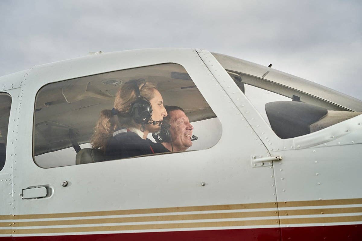
After he "aced" the ground (oral) portion of a private check ride I gave last week, this young man pointed the airplane in approximately the right direction, found a couple of checkpoints and made a reasonable guess about our time to the next one listed on his flight log sheet. This with benefit of a Garmin 430, two VOR receivers, an ADF and that incredibly detailed log strapped to his leg on the latest and greatest Sporty's kneeboard. But I wasn't at peace yet with the navigation part; I get those funny noises in my head when the sectional chart has been lying on the back seat or buried in an airline pilot-size flight bag.
Anyway, on to "airwork," and then out came the Foggles, and he managed a nice demonstration of aviating out of an inadvertent (I would hope) encounter with clouds or fog. There was measurable relief when he discarded the "view limiting device" and he could recover his equilibrium. Both our gyros were close to spilling after unusual attitudes (hey, it's the only time I get to fly the airplane) in a sweaty, mid-July, low altitude cockpit.
Sadly, his relief turned to dismay when I asked about the airport under our left wing and he discovered the GPS had gone south. It shouldn't be a big deal with two VOR receivers and four or five stations in range around these parts. But if you don't know how to trim for hands-off level flight and the chart is still folded up in a back-seat pocket and you're not sure about the difference between "to" and "from" on an OBS, it's a very big deal. I tried to defuse it with, "Hey, I'm an empty seat. Feel free to lay the chart (hint) on my lap or throw that kneeboard over here."
Eventually and painfully he retrieved the sectional using a combination of witchcraft, pilotage and highly creative guesswork and established that we were probably still somewhere in southwest Ohio. Further knob twisting and dial thumping convinced him the mystery airport was Dayton Wright Brothers, although the runway layout didn't remotely match the one on the chart (now back on the floor) and the city of Dayton was mysteriously absent. But you remember what it was like when you really wanted that lake or town to be the right one. Geographic details looked like, well, what you wanted them to look like.
I'm pulling for these guys; I genuinely want them to pass, so keeping my mouth shut — stifling the urge to coach or instruct — is a huge challenge. Believe me, it's painful to sit there and let somebody mess up. Even after nearly 50 years of flying, teaching and testing. I still lean … a lot. I thought about suggesting we land and go see where the string starts, but those big VFR wall charts you used to see at FBOs are getting pretty rare. Of course there's the phone book or a newspaper, but the latter is risky with corporate pilots leaving the morning St. Louis Dispatch in the lounge at East Alligator Breath Airport.
I could sympathize because navigation was never my strong suit. Truth is, I usually started out lost because the line on my chart originated in the middle of the airport but I wasn't in the middle of the airport when I turned on course. Right off the bat, nothing was where it was supposed to be, especially from low altitude. What worked was to climb to 3,000 feet or so right over the airport before launching off in any direction, a technique that mystified air traffic controllers at towered airports. But starting from "ground zero" at a decent altitude gave me a fighting chance, and from there my finger carefully traced a path on my sectional - something I do to this day in the Cub.
Later on, as a seasoned aviator with about 100 hours, I learned that drawing a line on a chart was totally "not cool" and found you could fold the sectional with a sharp crease instead. Around then I acquired a new boyfriend who sold radios and airplanes for a dealer at Lunken Airport. I was pretty experienced by then, and had graduated from the Ercoupe to a Piper Colt and into a Cessna 120. So when he needed to get a Cessna 182 back from Lexington, Kentucky, I assured him I knew all about Skylanes. That wasn't exactly true, but the only difference from a 150 seemed to be two more seats and an extra propeller knob. I cornered a mechanic and learned it was pretty simple: The second knob should always be, like, ahead of the throttle. For takeoffs and landings you pushed it all the way in and then, before moving either, made sure the propeller one would be higher than the throttle one. If this was less than crystal clear, I wasn't worried.
Mary, my sister, came along on the flight to Blue Grass Field in a Mooney, and en route, we learned this Skylane had been sitting at Bluegrass for several years. The panel was full of radios, but with no power supply, we'd be flying it back "deaf and dumb." Bill said that wasn't a big deal since we'd be a "flight of two" — a concept as foreign to me as the term "ferry permit." I was blissfully unaware of how to maintain even a loose formation and equally ignorant of the "no passengers" and "daylight flight only" restrictions for ferry flights.
The airplane should have been ready when we arrived, but the mechanic took one look at Mary and me and uncowled it. If we appeared as young and naïve as I think we did, he probably had an acute attack of conscience. After a long time and more adjustments, consultations and run-ups, he announced we could go. We took on about two hours' worth of fuel … plenty to get home. By now, it was twilight and showers were developing, not convective stuff but isolated, well-defined areas of heavy rain that you should avoid (I would learn) because visibility was low and turbulence was high. Along with formation flying and ferry flying, heavy rain shower flying was not yet in my repertoire.
We took off on Runway 4 with the Mooney ahead but well below. I guess I was pretty engrossed in the knob thing, because we flew right into one of those rain showers. I lit a cigarette and calmly explained to Mary that we'd pick up the Mooney as soon as we ran out of the rain, but she should keep a close eye on the sectional and on our heading. Difficult since the DG was stuck on 265 degrees.
Heck, I knew Mary was an even worse navigator than I was; the examiner (true story) had recently issued her a private pilot license on the condition that she not fly cross-country. But she pointed at the map and a north-south highway below, and I was glad we had Interstate 75 to follow home. I relaxed and lit a cigarette off the end of the last one.
We flew for what seemed an awfully long time. It was getting dark, and I held on to that road, but the town of Cynthiana, Kentucky, and the lake at Williamstown didn't show up on schedule. More time, another cigarette and a check of the magnetic compass with the light from my Zippo (of course I didn't have a flashlight). Hmmm, 320 degrees seemed to be left of what we should be holding, but who knew how accurate that compass was, or maybe the road curved northwest here. Two or three cigarettes later I realized the "highway" was getting narrower and, whatever it was, it wasn't I-75. Relax … we're somewhere north of Lexington — probably northeast — so if we fly due west, we'll surely find the big interstate going north.
I guess close to an hour had elapsed when I decided this wasn't working either. Were we northeast or northwest? So I lit a cigarette and calmly explained to Mary we'd take up a due north heading. Unless we'd entered the twilight zone or the earth's magnetic field had flip-flopped, the Ohio River had to lie in that direction. And sure enough, within 10 minutes or so we came up on a river. But was this the "east-westish" Ohio or the "north-southish" Kentucky? It looked pretty wide but sure had a lot of twists and turns.
Fuel was becoming a major concern since we'd been in the air well over an hour and were still blundering around in the dark. Lighting a cigarette, I calmly reminded Mary to keep an eye peeled for airport beacons and then headed for some bright lights ahead on the river. It was a huge construction site with a well-lighted, long and smoothly graded area along the bank.
I puffed on the Parliament and calmly told Mary, "If I can't figure out where we are in the next few minutes, we're landing down there while we still have fuel."
"OK, but what's that thing in the river over to the right?"
It was a dam — a great big one, and I recognized it as Markland, about 60 miles southwest of Cincinnati. Calmly telling Mary we were fine, I turned northeast along the river and tried to light another cigarette, but the pack was empty.
You know, I can still hear the words of the hymn that were echoing in my ear: "I once was lost but now I'm found, 'twas blind (was I ever!) but now I see."

Sign-up for newsletters & special offers!
Get the latest FLYING stories & special offers delivered directly to your inbox

