When change happens in increments, you might not notice it as much. iStock/Iboter
My instructor was in the seat behind me. He was always yelling at me. This time, he was yelling that I needed more rudder when I used aileron. I was a teenager. I thought he was mad at me. I know now he was just trying to be heard over the ambient airplane noise. The airplane was an Aeronca 7AC Champion. It had no electrical or intercom systems, and we had no headsets.
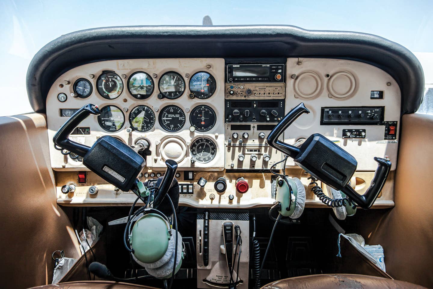
I didn’t think of the airplane as missing anything. The other airplanes on the field were similar. I just thought that was the way airplanes were made. I had no idea of the march of avionics technology I was to witness in my flying future.
Of course, we also had no electronic navigation. We used pilotage, comparing the chart to landmarks, and dead reckoning, holding a heading and speed and keeping track of time. In ground school, we learned to draw our proposed ground track on a chart. We drew another line to the destination representing wind direction and speed. We used the lines to plan our heading and time for the trip.
In the early ’50s, things became more complicated when the FAA mandated that pilots demonstrate emergency instrument skills for a private pilot certificate. This required airplanes with electrical systems for the turn indicator, as well as vacuum systems for the attitude and heading indicators.
I didn’t participate personally in this particular technological advance. The airplanes with instruments cost more to fly. I was saving up to go to college. The $8 per hour I was paying for airplane and instructor was all I felt I could afford. After I soloed the Aeronca on my 16th birthday, I decided to stop this outrageous expenditure and quit flying.
Years later, I resumed my flying in companionship with Martha. We bought a Piper Cherokee 140. It, of course, had an electrical system. It was also decked out with dual nav/com radios. I was introduced to radio communications and navigation. It was a big step up from my days of pilotage and dead reckoning.
When we got our private pilot certificates, we got the lust for something faster. We bought a Piper Comanche and set out to explore the rest of North America. On our way to Barrow, on the North Slope of Alaska, we discovered in Fairbanks we needed more than VOR navigation. We needed an automatic direction finder to navigate our way any farther north. By now, I apparently had lost my pre-college frugality. Martha and I laid out the money on the spot to have an ADF installed in our Comanche. The ADF had been around a long time and was not really an advance in technology. But to us, an ADF was new technology that allowed us to go farther north.
As we continued to fly the Comanche, we flew more and more IFR. Because we were equally hooked on flying, we had no financially responsible partner when it came to spending for avionics. When Martha and I wanted distance-measurement equipment to support our IFR flying, we immediately laid out the funds to put DME in our Comanche.
When the technology became available in 1978, we sprang to install a King KNS-80 in the Cessna 340 we owned by then. The KNS-80 was referred to as a course-line computer. It would electronically move a vortac to a new location, using the signal from the vortac as if it were actually in the new position. It was our first experience at being able to navigate using VHF signals in a straight line as far as 199 miles, without having to go from navaid to navaid. The capability was referred to as area navigation. The KNS-80 could store four preset waypoints, so you could quickly switch from one waypoint to the next.
In 1990, Narco Avionics came out with a product for general aviation called StarNav. It took navigation to the next level. StarNav was a multisensor navigation system containing VOR, localizer and glideslope receivers. It had a database allowing it to automatically tune nearby navaids to provide a continuous navigation solution. We installed StarNav in the old Cessna Citation that we had then. As friends of Ed Zimmer, the owner of Narco Avionics, we were beta testers. It was Martha who suggested the name “StarNav.”
In addition to utilizing its self-contained sensors, StarNav interfaced with other receivers including DME and loran. Loran referred to long-range navigation. It was originally developed for marine navigation. Loran allowed continued navigation even when we were out of range of VHF signals. Eventually, we replaced the loran in our Citation with GPS, which gave us improved position accuracy. StarNav was our first experience with the combination of a database and area navigation for nationwide automatic navigation. Today, GPS systems combine that capability with a map to routinely provide simple, intuitive navigation.
In its early days, GPS wasn’t as useful as it could have been because the military dithered the signal for civilian users. This dithering deliberately added 50 meters of error horizontally and 100 meters vertically to GPS signals. This was referred to as “selective availability.” In May 2000, selective availability was removed, making GPS vastly more precise and practical for civilian use.
Read More from John King: Sky Kings
On July 10, 2003, the Wide Area Augmentation System was activated for general aviation, covering 95 percent of the United States and portions of Alaska. This even further improved the precision of GPS. WAAS works by having ground stations with known positions receive the GPS signal. They then correct any errors and send the correction for the area back to satellites, which then send out the corrected signal. WAAS allows a position fix within 10 feet, 95 percent of the time.
A WAAS receiver is required for ADS-B Out. With ADS-B, every airplane reports its very precise position to all the other aircraft and ground stations in the vicinity. With WAAS, we can now see the accurate location of every nearby airplane on our screen. This has already proven to greatly reduce the collision rate and save lives. A safety analysis conducted by the Regulus Group for the FAA on the accident rate of ADS-B-In-equipped aircraft between 2013 and 2017 is available: For the continental US, the average rate reduction across four types of accidents (midair, controlled flight into terrain, weather-related and CFIT-plus-weather accidents) was approximately 50 percent, with a cut in the fatal-accident rate of about 90 percent.
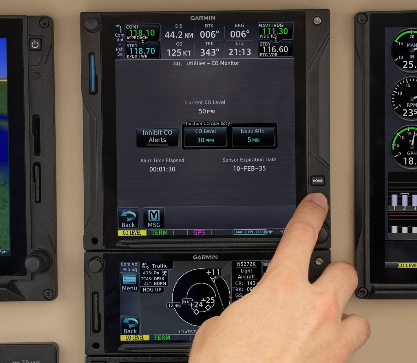
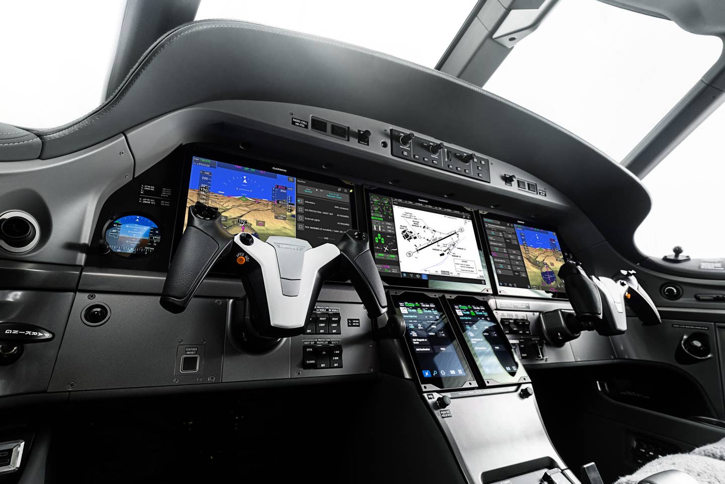
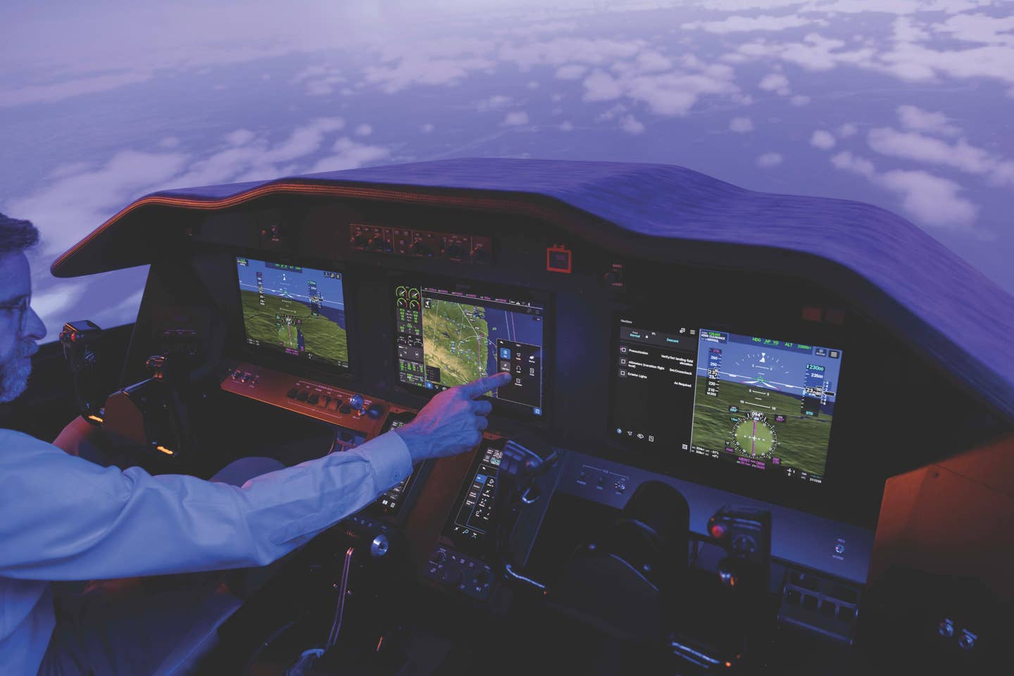
It is hard to imagine how far avionics has come. Navigation and situational awareness in the cockpit is vastly more precise and easier, and information is incredibly plentiful. Plus, it’s all a lot more fun. Our Garmin GTN 725 displays our position, weather and traffic information on the same screen. It is wirelessly connected to our iPads, which serve as additional multifunction displays, providing the information available from the panel navigator and displaying it very intuitively. At home, our preflight preparation supplies us with more current information with more immediacy and better detail than was available even to flight-service-station operators in our early days of flying.
It has been a great journey. Even though I am no longer a 16-year-old kid, I still have no idea what the future holds. But with the accidental wisdom of experience, I can tell you that change will continue in increments, and in a few decades, we will have arrived in a marvelous new place. I am looking forward to it.
This story appeared in the March 2020 issue of Flying Magazine

Sign-up for newsletters & special offers!
Get the latest FLYING stories & special offers delivered directly to your inbox

