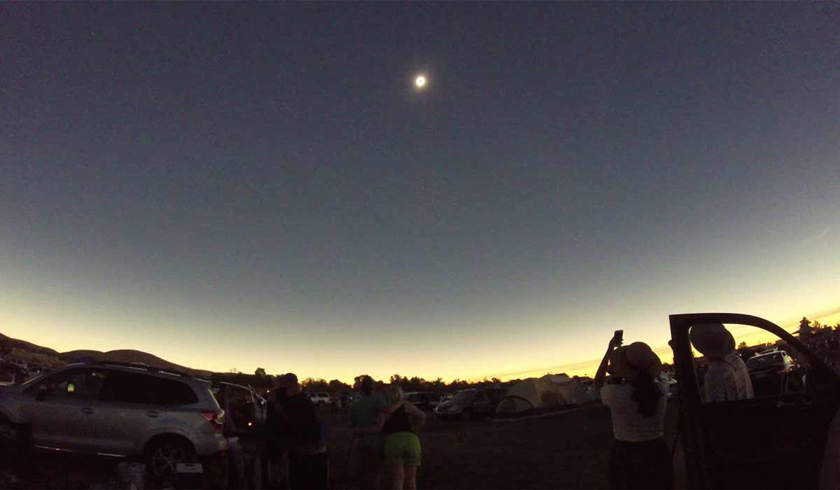
The total solar eclipse, as seen from Weiser, Idaho. Douglas Gray/YouTube
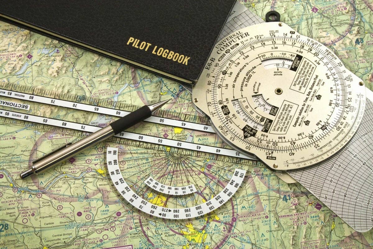
A phalanx of restricted and Military Operating Areas confronts pilots heading north out of Los Angeles. Between sprawling Edwards Air Force Base and the Naval Air Weapons Station situated at water-free China Lake, a pilot studying the chart for the first time must think the way impassable.
The alternatives are inconvenient doglegs: either fly up the San Joaquin Valley and cross the Sierra Nevada at Fresno or Lake Tahoe, or fly east almost to Las Vegas before turning northward toward central Nevada and Idaho. But wait. The powers that partition airspace did provide itinerant VFR pilots with a consolation prize. It is called the Trona Gap, after the dusty mining town of Trona, vaguely familiar to motorists on their way to the pans and dunes of Death Valley. That the Trona Gap was a grudging afterthought I infer from the fact that it is L-shaped, just 4 miles wide at its southern end and, furthermore, it straddles the south and north halves of the CG-18 world aeronautical chart, as if in order to make navigating it as inconvenient as possible.
Fortunately, I have recently made a poor man’s glass cockpit out of a friend’s discarded iPad, ForeFlight and a Stratus portable unit. Running the Trona Gap is now a simple matter of guiding my blue avatar (which I wish looked more like my airplane) through the narrow L and into the magenta-rimmed and fighter-swarming lands beyond.
It’s August 20, 2017, and my son Nick and I are going to see the eclipse.
Our plan is to overnight at Winnemucca, Nevada, a busy watering hole along Interstate 80, and leave in time to reach Weiser (rhymes with geezer), Idaho, a little before the total eclipse. Having wriggled through the Trona Gap, we bounce along — summer afternoons in the desert get a bit rough — almost due northward and reach Winnemucca a little after 6. The FBO is closed, but we catch a ride into town with a couple of fire spotters who have come to the end of their shift. At a restaurant called the Pig, Nick tucks away a full order of ribs as I look on, aghast. The manager says they did a land-office business the last couple of days — people heading north by car to that much-hyped ribbon of noonday darkness.
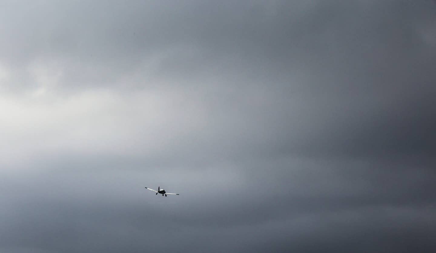
We’re at the airport at 7 the next morning. Several other airplanes, including a Berkut — a retractable-gear re-imagining of the Rutan Long-EZ — and a pressurized Skymaster in Coast Guard colors, are preparing to take off on the same errand as we. At 9 — 10 in Idaho — we’re in the air. In the cool of morning, it’s calm and smooth. We look up at the sun from time to time through makeshift glasses made from old floppy disks, which turn it the color of a ripe persimmon. The moon is sliding in front of it, right on schedule. A remarkable coincidence when you think of how many other places the moon could be.
The radio chatter from Weiser has been busy, sometimes with a strain of anxiety as two jump planes, intending to discharge their skydivers in darkness at different altitudes but at more or less the same time, attempt a hasty coordination while other pilots announce their positions and altitudes at random. Center reports numerous targets between 7,000 and 13,000 feet, and in the next breath cancels flight following for everyone. Taking our cue from the latter number, we climb to 14,000.
Of the two hours between the moon’s first nibble of one edge of the sun and the moment called “last contact” when it finally excretes the other, only the 10 minutes before and after totality are particularly notable. Then the dimming of the daylight becomes obvious. The light is bewitched. The instrument panel has a peculiar pebbly look, and the paper on my kneeboard appears to be wrinkled, as though it had gotten wet and then been allowed to dry.
Over Weiser we turn west, facing the approaching umbra, an immaterial juggernaut hastening along at 2,500 miles an hour. In the distance ahead, a mass of obscurity, diffuse and ominous, races toward us, devouring mountain and valley. Then, we are in night.
If you expected total darkness, you would be disappointed. But I saw a total eclipse in 1991 from the tip of Baja California (Flying, February 1992), and I know that the night of the eclipse is not a normal kind of night. All around, beneath a dome grading from sapphire to obsidian, the horizon is light, as it is when the sun sets below the edge of a dense overcast. To the south is a tawny band whose upper edge is as distinct as if it had been drawn with a ruler. It is smoke from wildfires in Oregon, which have been burning for weeks. Overhead, near the zenith, a softly glowing ring encircles the invisible moon, and one or two stars or planets can be seen.
I switch on the nav and panel lights, and we turn eastward to prolong totality a few seconds by traveling with it. The period of totality will be short — a little more than two minutes — unlike the one in 1991, which was uncommonly long. It lasted almost seven minutes, during which I and my friend who had traveled with me in an Aviat Husky lay on our backs, alone on a dry lake bed, hooting and hollering our delight.
There is just a moment — I happen to be looking up when it comes — when a bright jewel bursts from the moon’s trailing edge: the “diamond ring.” Then dusky twilight rapidly reappears, and Nick and I watch the relentless shadow flee from us across the land, like a receding storm. I feel a little forsaken as it hurries away. We have cared so much for it, and it has cared for us not at all.
It is said, with justice, that the difference between 100 percent eclipsed and 99 percent is night and day. Once the brief minutes of totality end, therefore, we have no more reason to be here than anywhere else. We turn south. The wildfire smoke, which before had appeared as a distinct brown band, now, either because ground heating has churned it up or simply because we are seeing it illuminated in a different way, forms a dense, foglike haze in which conditions are barely VFR. Despite a careful lookout for the presumably plentiful traffic, we see not a single other airplane. Indeed, we have not seen one since taking off.
We stop at Winnemucca again for fuel and a bite to eat from the FBO’s well-stocked larder, and then head south. We’re through the Trona Gap and heading toward Mojave when Joshua Approach, which is providing flight following, gives me a curious traffic advisory.
“F-18 at 6 o’clock, maneuvering.”
Should I take evasive action? Or should I assume that collisions with maneuvering fighters are as rare as solar eclipses?
(For more, check out the view of the total solar eclipse from Weiser, Idaho.)

Sign-up for newsletters & special offers!
Get the latest FLYING stories & special offers delivered directly to your inbox

