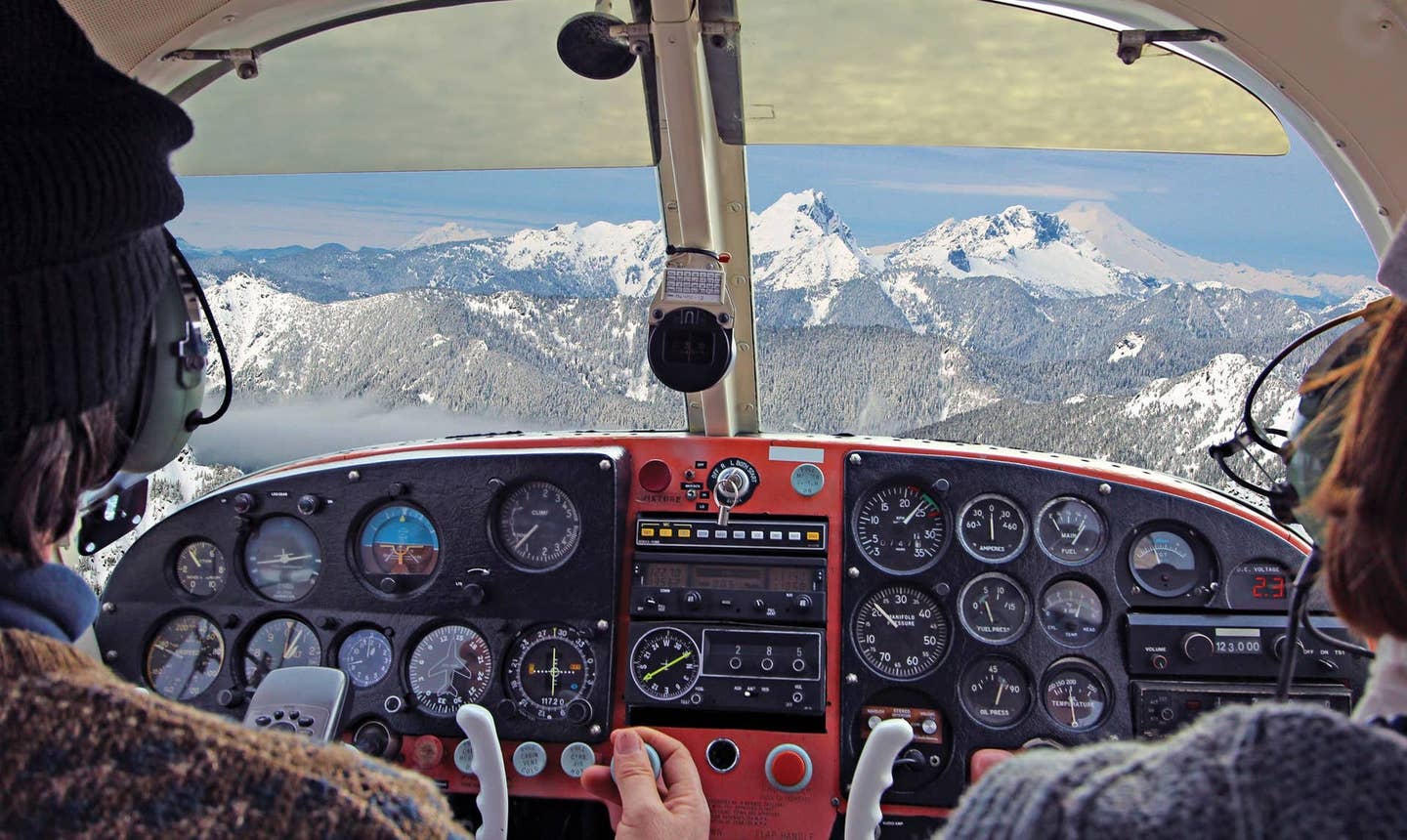
The pilot-owner of a Cessna R172 — a six-cylinder, 195 hp version of the 172, based on the French-built Reims Rocket — was en route from Everett, Washington, to Albuquerque when he and his wife found themselves weathered in at Roseburg, Oregon. The pilot, who did not have an instrument rating, inquired at an FBO whether an instrument-qualified pilot was available to fly the couple to New Mexico.
The pilot who came forward had 342 hours. He had the instrument rating and was building time while working on his commercial ticket. His logbook recorded nearly 60 hours of simulated instrument time and 16 hours of actual. He made a hop around the pattern to familiarize himself with the airplane, topped the tanks and filed an IFR flight plan to Reno, Nevada, via the Medford and Klamath Falls VORs, estimating 2:54 with the initial segment at 7,000 feet. Since the weather was better beyond Reno, they agreed the pilot would return from Reno and the owner and his wife would continue to Albuquerque on their own. It was a win-win; the owner and his wife would complete their trip, and the instrument pilot would build time at no cost to himself.
The three took off at 3:07 p.m., the owner in the right front seat. At 3:13, climbing through 5,800 feet, they made their first appearance on Seattle Center radar. Meandering a bit to avoid weather, they eventually climbed to 11,000 feet and, after 44 minutes airborne, canceled IFR but requested VFR flight following. At the same time, they began to descend to a new cruising altitude of 7,600 feet. The flight continued uneventfully, but an hour after takeoff, and shortly after passing the Oregon-California border, the pilot advised Seattle he was changing the destination to Susanville, in the Sierra foothills 67 miles northwest of Reno. Eighteen minutes later, Seattle advised the pilot of “clear weather to Susanville” and terminated radar services because coverage was spotty in the mountainous area.
The 172’s 1200 squawk continued to put in sporadic appearances on Center radar, its heading varying from south to east. The last recorded return, coming from a point well east of Susanville, reported an altitude of 9,100 feet. Apparently the plan of landing in Susanville had been abandoned. What happened then is unclear. A woman in Herlong, California, 29 nm southeast of Susanville and 41 nm north of Reno, reported that she had heard an airplane circling to the south-southeast for a long time; the weather was poor that day, she said, with rain, snow at the higher elevations and cloud layers obscuring the mountaintops. But there were no sightings of the 172, nor any further radio communications.
It never reached Susanville or Reno.
Three days later, the pilot’s family reported him missing, and that evening the wreckage of the yellow-and-white Cessna was spotted at the 6,400-foot level in hilly terrain a few miles from Reno-Stead Airport (KRTS), where the annual air races are held. All three occupants perished in the crash. Examination of the engine disclosed nothing to suggest a mechanical problem prior to impact. It appeared from the position of the flap actuator that the flap had been deflected 5 to 10 degrees, and the elevator trim seemed to be at its maximum nose-up setting.
The National Transportation Safety Board found the probable cause of the accident to have been the pilot’s decision to continue VFR flight into instrument conditions, “which resulted in a controlled collision with terrain.”
This is standard NTSB language and is frequently used. Usually, however, it is a noninstrument pilot, continuing VFR into deteriorating conditions and deciding too late — if at all — to turn back, who earns the “continued VFR into instrument conditions” verdict. In this case, the pilot had the rating, was current, had filed and then canceled an IFR flight plan and, since he was flying under the gaze of the airplane’s owner, probably felt some motivation to give a good account of himself and do things by the book.
If the finding of probable cause was on the sketchy side, so was the information available to accident investigators.
The weather on the route of the flight was dominated by a low centered in eastern Utah and a stationary front extending southwestward into Southern California. Conditions behind the front were expected to be a mix of VMC and IMC with overcast or partly cloudy skies, areas of rain and snow, some mountain obscuration and a freezing level around 7,000 feet. Because much of the flight took place over remote and mountainous terrain, local ceiling and visibility observations were scarce.
Three airmets for the area of the flight warned of mountain obscuration, moderate turbulence and moderate icing between 7,000 and 11,000 feet. The pilot, who had received a DUATS briefing, must have been aware of the possibility of icing, and his decision to climb to 11,000 feet before the minimum en route altitude required it could suggest a desire to stay clear of the clouds; but it may also have been due to a good tailwind. His subsequent canceling of the instrument flight plan, on the other hand, suggests the cloud tops were getting higher and the pilot decided there was sufficient room to continue between the overcast and the mountains. He descended to 7,600 feet, well below the MEA, but continued to receive flight following for some time before radar contact was lost.
The decision to switch destinations is puzzling because it was made when the flight was still far from Susanville, so it cannot have been simply an attempt to get away from worsening weather. Susanville, in the western foothills of the Sierras, would not have been a very helpful place for the couple trying to reach Albuquerque, nor for the pilot wanting to get back to Roseburg. The reasons for going to Susanville, and for subsequently reversing that decision, can’t be known, but it’s clear that at some point the pilot — or pilots, since the owner in the right seat might plausibly have had something to say about the matter — must have thought the weather looked good enough in the direction of Reno to make it through.
The report of an airplane circling for some time south of Herlong — if it was the same airplane — might indicate an effort to climb, spiraling, through a gap in the clouds. The highway from Herlong to Reno stays below 5,000 feet, however, and at the time of the accident Reno had a broken overcast at 6,300 feet msl. The NTSB report does not indicate whether the pilot had a VFR chart for the Reno area with him. If he didn’t, he may not have realized there was a good low-altitude approach from the north.
If he did climb higher and find himself unable to stay out of cloud, he could still have requested an IFR clearance into Reno — unless he’d had the bad luck to stray into cloud and then rapidly picked up a load of ice. The deflected flap and the nose-up trim may suggest a pilot’s desperate attempt to maintain altitude in an iced-up airplane — but that hypothesis is scarcely more convincing than any other.
Ironically, what set the fatal chain of events in motion was the airplane owner’s sensible and responsible decision to seek a better-qualified pilot to get him through the area of bad weather. When that pilot canceled his instrument fight plan and continued VFR, the owner may have reflected that he had made a bad bargain. How bad, however, he could not yet know.
The instrument-rated pilot had little actual instrument time. How much, if any, of it was in mountains in winter, we don’t know. A more experienced pilot might have hesitated to undertake the flight, knowing the wild card here was icing. You can’t safely fly a 172 for three hours over inhospitable, unpopulated terrain in IMC when the forecast warns of moderate icing in clouds. Sometimes you make it, sometimes you don’t. You may learn some valuable practical lessons — ones of which neither pilot, in this case, would be able to make future use.
_This article is based on the NTSB’s report of the accident and is intended to bring the issues raised to our readers’ attention. It is not intended to judge or to reach any definitive conclusions about the ability or capacity of any person, living or dead, or any aircraft or accessory. _

Sign-up for newsletters & special offers!
Get the latest FLYING stories & special offers delivered directly to your inbox


