The Point Forecast Sheds New Light on TAFs
A terminal aerodrome forecast, simply known as a TAF, is perhaps the most difficult forecast any meteorologist will ever make. A TAF is essentially an hour-by-hour forecast for conditions significant to aviation at an airport over the next 24 or 30 hours.

The TAF is one of the most difficult forecasts to make in aviation weather. [Adobe Stock]
As a flight instructor and former National Weather Service (NWS) research meteorologist, I’ve accepted that pilots like to rag on meteorologists for issuing bad forecasts. Even so, once I got the full backstory behind the pilot’s dissent for a majority of these cases, there was nothing inherently wrong with the forecast; it was how the pilot was trying to use the forecast that was often problematic. This is not to imply that meteorologists are always accurate in every forecast they issue, but pilots tend not to appreciate the hard limitations these forecasts demand.
A terminal aerodrome forecast, simply known as a TAF, is perhaps the most difficult forecast any meteorologist will ever make. Think about the challenge these forecasters face. A TAF is essentially an hour-by-hour forecast for conditions significant to aviation at an airport over the next 24 or 30 hours. This includes a forecast for details such as wind speed and direction, cloud coverage, ceiling height, prevailing visibility, and precipitation type.
When you think of a TAF, size matters. This forecast is difficult because of the relatively small diameter of the area they are attempting to cover. The U.S. definition of a terminal area is the region within five statute miles of the center of the airport’s runway complex. Thus, meteorologists refer to a TAF as a “point forecast,” and it’s critical to understand its limitations and how they affect the forecasts general aviation pilots ultimately use every day.
The Terminal Area
A five statute mile area is a tiny region to get all forecast elements right over a given period. In fact, the terminal area is often smaller than the resolution of the forecast guidance they are using to issue the TAF. It’s like placing a coin on a sidewalk and asking someone at the top of a five-story building to identify if the coin is a nickel, dime, or quarter using their naked eyes.
Here’s a way to visualize why it’s so hard to issue these forecasts. Let’s pretend for a moment that you are the forecaster and someone asks, “What are the chances there will be a thunderstorm reported somewhere in the conterminous U.S. in the month of July?” Certainly, there are a lot of thunderstorms in July, and the conterminous U.S. encompasses a huge area. Your forecast would likely be that there’s a 100 percent chance. And you would be 100 percent correct.
That was an easy forecast, and you didn’t even need a meteorology degree to get it right. Now, how about a slightly different question? What is the chance of a thunderstorm reported sometime during the month of July in the state of Oklahoma? Given a month is a long period and Oklahoma is a state with lots of thunderstorms during the summer, again, I’d bet your answer would be that there’s a 100 percent chance. Now, how about the chance of a thunderstorm being reported on July 14 at the Oklahoma City airport at 8 a.m.? Well, once again, there’s a pretty easy answer; you’d likely say it’s a zero percent chance.
When you narrow down the time and the location, you can see the swing from a near guarantee at 100 percent to a near guarantee at zero percent. Forecasting for a small five statute mile area is incredibly difficult, if not fundamentally impossible at times, but meteorologists at the local weather forecast offices are asked to carry out the impossible every day. They need to determine if that coin is a nickel, dime, or quarter.
There’s no doubt that TAFs are used by all pilots because of the significant detail they provide. Everyone from general aviation pilots to commercial air carriers utilize TAFs to anticipate weather conditions in the airport terminal area. Without question, TAF content can have a strong impact on fuel loads, the need for alternates, and other operational aspects because of their stringent regulatory nature.
Scheduling TAFs
Each weather forecast office in the conterminous U.S. is typically responsible for issuing a TAF for up to ten airports within its region of coverage called a county warning area or CWA. For example, the Greenville-Spartanburg forecast office in Greer, South Carolina, is responsible for preparing TAFs for six local terminal areas, including the Charlotte Douglas International Airport (KCLT).
It’s important that the TAFs are prepared and issued by local forecasters instead of forecasters sitting in some Washington, D.C., office. They often consider sub-synoptic local effects, and they are tuned into the local weather patterns since they deal with them every day. The difference between a low IFR ceiling and a clear sky can be just a matter of 10 miles at times.
Therefore, the size of the terminal area is a point (pun intended) that should not be overlooked. The TAF may or may not always be representative of an area or zone forecast. Additionally, locally derived forecast rules and outside pressure from the FAA or even the airlines can cause the TAF to be quite different than an area forecast.
Scheduled TAFs are issued four times daily (every six hours) at 00Z, 06Z, 12Z, and 18Z. In most circumstances, the TAF is transmitted between 20 minutes and 40 minutes prior to these times. Moreover, for high-impact airports such as Atlanta, Chicago and New York, TAFs may be routinely issued every three or even two hours. For now, those off-schedule issuances will still be released as amendments. So, if you see an amended forecast in these regions, it may not be because of a poorly aligned forecast with respect to the weather—it may be a new and improved forecast.
Precipitation events, especially thunderstorms, give meteorologists the most trouble. Forecasting convection in the terminal area is all about quantifying the uncertainty of the event. Even in reasonably dynamic situations with traveling weather systems, meteorologists can find it challenging to predict when convection will impact the terminal area over the forecast period.
Dealing with Uncertainty
Unfortunately, forecasters do not have a convenient way in a TAF to quantify their uncertainty. In the public forecast, you’ll see something like “a 30 percent chance of thunderstorms.”
Sure, forecasters can throw in a PROB30 forecast group into a TAF, but by NWS directives, PROB30 groups are not allowed to exist in the first nine hours of the forecast period. By the way, the NWS only uses PROB30, although you may see PROB40 in international TAFs or TAFs issued by the military. So, what can a forecaster do when there’s a chance of thunderstorms in the public forecast, but the uncertainty is high? In most cases, the forecaster will leave out any mention of thunderstorms given that it is just too uncertain and the likelihood is small that a thunderstorm will roll through that tiny forecast region. Forecasters are also pressured by the airlines to avoid placing thunderstorms in a TAF in these situations. A forecast for thunder may require filing an alternate, and the need to take on more fuel.
Perhaps in this uncertain situation, these are just the scattered variety of afternoon pulse-type thunderstorms. In this case, the forecaster has two possible solutions, neither of which will appear in your aviation textbook or ground school. First, they can add rain showers (SHRA) or showers in the vicinity (VCSH)
instead of thunderstorms. Showery precipitation is inherently a convective process. It’s not unusual to see forecasters include one of these two precipitation forecasts into the TAF when the uncertainty of thunderstorms is high. Essentially it becomes a placeholder for thunderstorms. When conditions eventually begin to evolve and it becomes clear thunderstorms will impact the terminal area, the forecaster will likely amend the TAF to replace SHRA or VCSH with TSRA (rain and thunderstorms within the terminal area).
Area Forecast Discussions
Second, forecasters may often explain their reasoning in the area forecast discussion or AFD. No, it’s not a discussion about the aviation area forecast that was retired in 2018. Instead, it’s a discussion about the weather expected in the local county warning area (CWA) for that weather forecast office. Every AFD contains an aviation section that discusses the TAFs for airports within that CWA. It is in the AFD that a forecaster can explain, contemplate, brood over, or even complain about why they didn’t include a forecast for thunderstorms, fog, or freezing rain.
In fact, most forecasters will do a pretty good job trying to quantify their uncertainty. In the case of thunderstorms, you may see words in the AFD like “including light rain showers to cover the unlikely threat of thunderstorms.” The AFD isn’t something you’d get in a standard briefing, but it certainly should be part of your preflight brief. I’ve always said that if you are not reading the AFDs, you are missing half the forecast.
You can find the full AFD for each county warning area by visiting the weather.gov website. If you visit weather.gov, in the upper-left corner, type in a location such as an airport, city and state, or Zip code, and you will be presented with a forecast that includes a link on that page labeled “Forecast Discussion” that is valid for that town or airport. That link will contain the entire discussion that includes the aviation section. The AFD is also included in some of the heavyweight aviation apps or using my EZWxBrief progressive web app.
Local Knowledge
So, the next time you pore over the TAFs along your route, remember these two points. First, never assume the weather forecast at one airport applies to a nearby airport. On some occasions when the weather is homogeneous across a region, it very well may be that a TAF is representative of the weather at airports close by. Forecasters have local knowledge and often make forecasts that take into consideration how terrain or the previous day’s weather can impact the weather at any particular airport.
Second, TAFs are not an area or zone forecast and should never be used as such. It’s often easy to look at all of the TAFs along your route and make a hasty decision. Just because the three or four TAFs along your proposed route do not mention thunderstorms doesn’t mean you won’t encounter them during cruise. Use TAFs for what they are intended to show. Therefore, if you have an emergency and need to land, knowing the potential weather at those airports along your route is important. TAFs can tell you if they are likely to be good alternates if you need one.
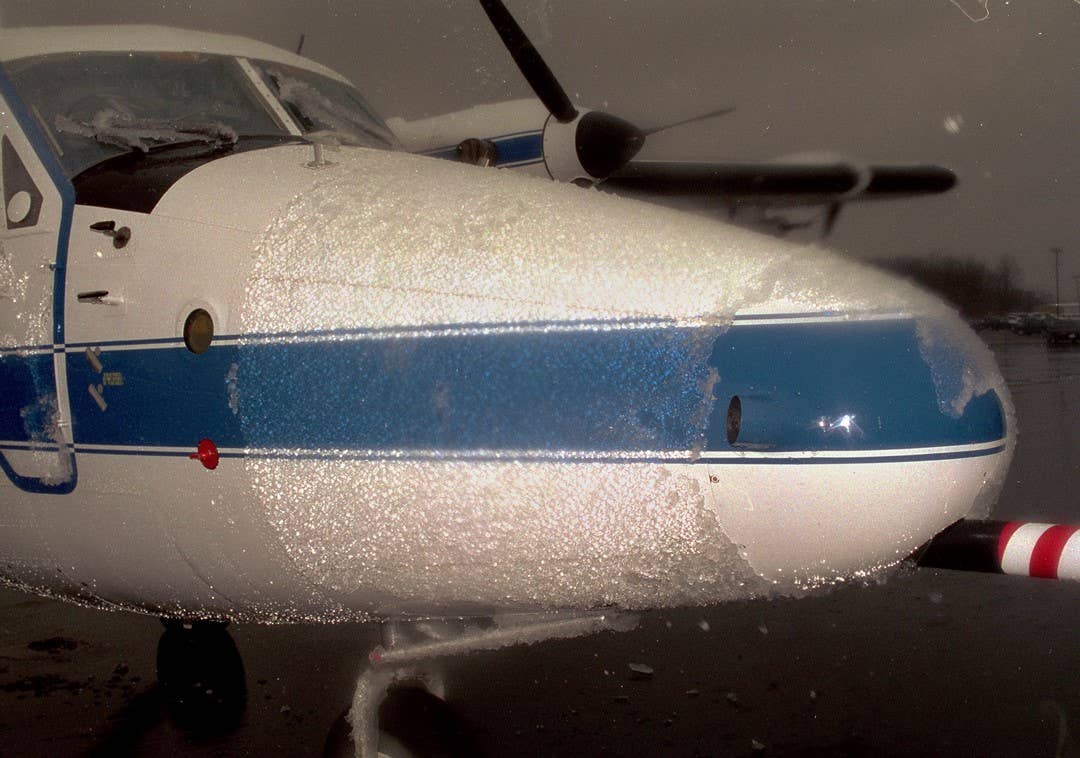
Lastly, keep in mind that a precipitation forecast in a TAF defines the type of precipitation expected to reach the surface. For example, a forecast for –RA (light rain) or –DZ (light drizzle) doesn’t imply there’s no chance of running into FZRA (freezing rain) or FZDZ (freezing drizzle). The precipitation forecast is based on what’s expected at the surface. If the temperature is forecast to be a degree or two above freezing at the surface, you will see a forecast for rain (or drizzle), but you may find that just 500 feet above the surface, there’s a nasty freezing rain (or freezing drizzle) event waiting for you.

Sign-up for newsletters & special offers!
Get the latest FLYING stories & special offers delivered directly to your inbox


