The Road Not Taken
Conditions in the air can look different to different pilots, especially to ones with varying amounts and kinds of experience.

[Credit: iStock]
IFR and lower ceilings with reduced visibility will be common through much of the period across central and southern AR terminals. Northern AR terminals are more likely to remain VFR…
National Weather Service Area Forecast
On December 3, 2021, two pilots—call them Jack and Ken—left Clarksville, Arkansas, in a Piper Cherokee 235. They flew south to Louisiana, where Jack, who operated an airframe repair shop in Clarksville, picked up a Cessna 182 that had suffered some sheet metal damage in a hurricane. They then flew the two airplanes to Minden, Louisiana, where they stopped for food and fuel before continuing to Clarksville, 175 miles to the north.
Ken, the Cherokee pilot, had checked the weather and considered it “very sketchy.” Neither pilot had an instrument rating. But Jack said they would climb to 1,500 feet to stay below the clouds, and they could land at Magnolia, 40 miles north of Minden, if the clouds turned out to be too low.
If you're not already a subscriber, what are you waiting for? Subscribe today to get the issue as soon as it is released in either Print or Digital formats.
Subscribe NowIt was already dark when they took off. Jack was leading in the 182, and they were communicating on 123.45. The clouds were broken or scattered and the ground was visible, but the forward visibility was poor. Ken could see the icon of the 182 ahead of him on his ForeFlight traffic display. By the time they reached Magnolia, Ken thought they were in IMC, but Jack was confident that the weather would clear ahead and decided to continue.
They were at 1,600 feet msl—about 1,350 agl—and cruising at 140 knots, heading more or less due north. All Ken could see ahead of him now was the 182’s rotating beacon. He knew that he was in over his head and said so to his friend; but Jack, who seemed more concerned about Ken than about the weather, continuously coached him to keep his wings level. After some time, Ken tore his eyes from the attitude indicator to glance at his ForeFlight screen. He saw, to his surprise, that the 182 had turned toward the southeast and was backtracking toward him. He asked Jack what he was doing but got no response. Moments later, the 182 vanished from the screen.
Half a minute passed, and then ForeFlight issued a low-altitude alert. Alarmed, Ken pushed the throttle forward, hauled back on the yoke and climbed to 3,500 feet. Still in IMC, he turned eastward toward Hot Springs, but on learning that the weather there was 300 overcast he turned back northward toward Clarksville.
It turned out that Jack had been right about the weather farther north. The clouds cleared, and Ken was able to land at Danville, 25 miles south of Clarksville. Once on the ground, he tried again and again to call Jack’s cell phone, but there was no answer. He was sure there had been an accident. Perhaps, he thought, Jack had become so preoccupied with trying to keep him, Ken, safe that he had lost track of his own heading and altitude.
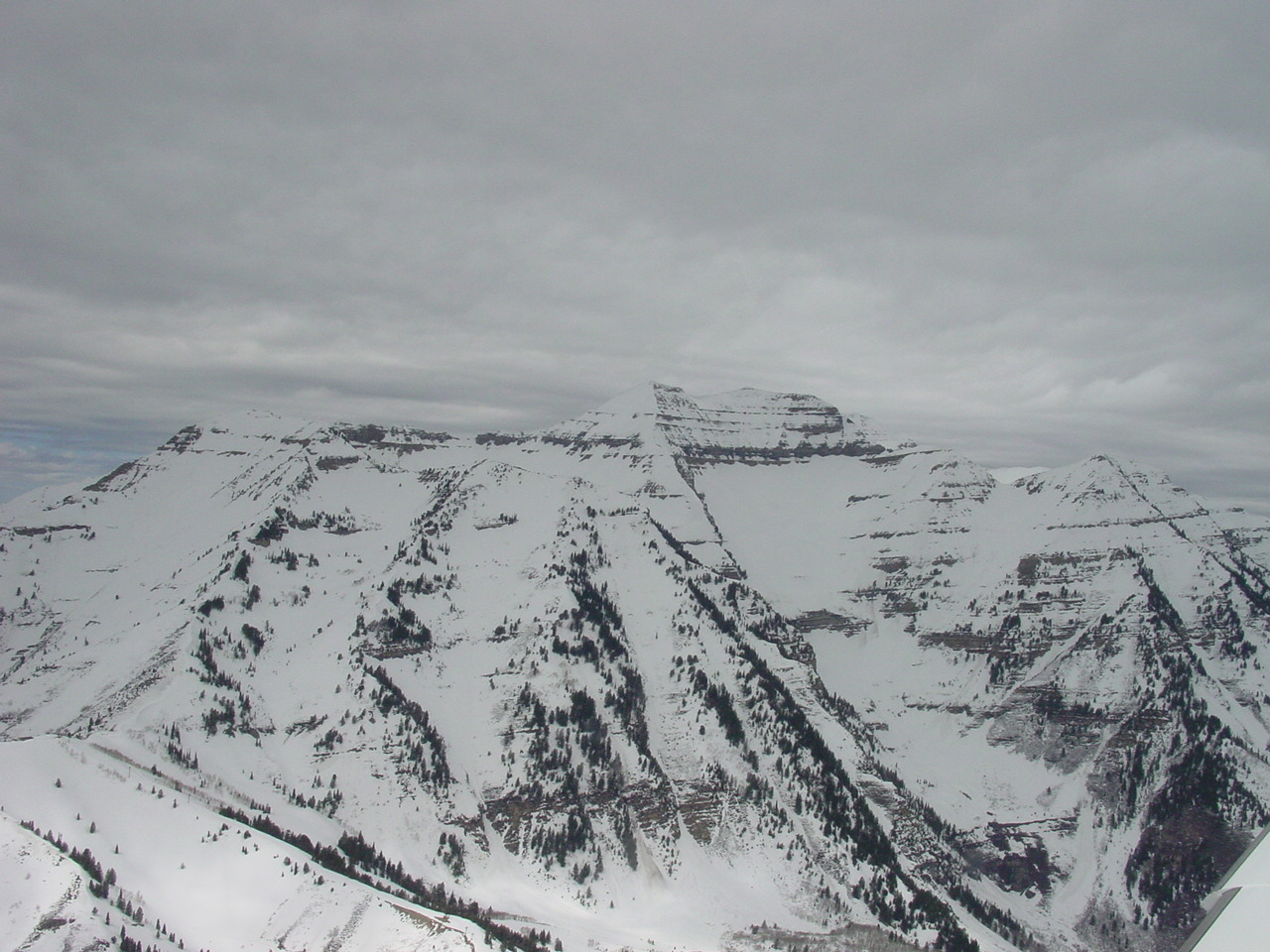
ADS-B data showed the 182 cruising northward at 1,600 feet until a mile and a half south of Trap Mountain, where it began a gradual descent and then a shallow right turn. Searchers found the wreckage of the 182 on the north slope of the mountain at an elevation of 1,070 feet. Trap Mountain is a narrow, steep wedge rising 500 feet above the surrounding terrain. Its charted height is 1,095 feet; the 182’s initial point of impact was the top of a 30-foot tree, just below the ridge.
The original plan had been to fly at 1,500 feet, as this would keep them in uncontrolled airspace, below the floors of airways and a couple of military operations areas, but clear of all terrain between Minden and Clarksville. (The terrain was a few hundred feet higher north of Trap Mountain than south of it, but since Jack expected the weather to improve to the north, he probably thought they would be able to climb a little higher there if they needed to.) We can’t know why the 182 strayed from its intended path, but the NTSB blamed “the non-instrument-rated pilot’s improper decision to continue visual flight rules flight into instrument meteorological conditions, which resulted in spatial disorientation and a subsequent impact with terrain.” Spatially disoriented pilots, however, typically make rapid, random changes of heading and altitude. The gradual descent and turn are more suggestive of distraction or instrument failure than spatial disorientation.
What is noteworthy about this accident is that we have a narrative of the events leading up to it—not, admittedly, from the point of view of the accident pilot himself, but at least from that of a bystander. Conditions in the air can look different to different pilots, however, especially to ones with varying amounts and kinds of experience. Jack had 2,500 hours and came from a family that had long been immersed in aviation. In his work he probably flew many types of airplanes, and in a variety of weather conditions. (Considering his relatively high time and the fact that he was an aviation professional, his lack of an instrument rating is puzzling, but, as I have learned in 60 years of flying, not everyone follows the beaten path.)
I suspect—this is just a guess—that Ken was the less experienced pilot of the two; at least, he seems to have been less at ease than Jack was in, as he repeatedly put it, “sketchy” conditions. It may be significant that while Ken’s narrative repeatedly uses the phrase “in IMC,” it does not use the words “in clouds”; to Jack, that distinction may have made all the difference.
The condition of forward visibility, or lack of it, that Ken perceived as IMC could have appeared to Jack as night VFR minimums. In the dark, how are you to know whether a cloud is 2,000 feet away or whether the dim light you discern through the haze ahead is one or three miles away? The weather outlook was ambiguous, as it often has to be. Reduced visibility and ceilings—as opposed to straight-up IMC—would be common in the area, but not general. Better weather to the north was likely, but not certain. To a pilot used to scud running, words like “common” and “likely” are open doors. One of the oddities of the FARs is that they classify as VFR certain nighttime conditions that absolutely require reliance on the gauges. It’s possible that the same conditions that were IMC to Ken looked like unpleasant-but-legal VMC to Jack.
One could question the wisdom of Jack’s pressuring Ken to make a flight with which he clearly felt uneasy. Ironically—or perhaps not—it was the confident Jack who came a cropper and the hesitant Ken who got home safely.
This article is based on the National Transportation Safety Board’s report of the accident and is intended to bring the issues raised to our readers’ attention. It is not intended to judge or to reach any definitive conclusions about the ability or capacity of any person, living or dead, or any aircraft or accessory.
This article was originally published in the March 2023 Issue 935 of FLYING.

Sign-up for newsletters & special offers!
Get the latest FLYING stories & special offers delivered directly to your inbox

