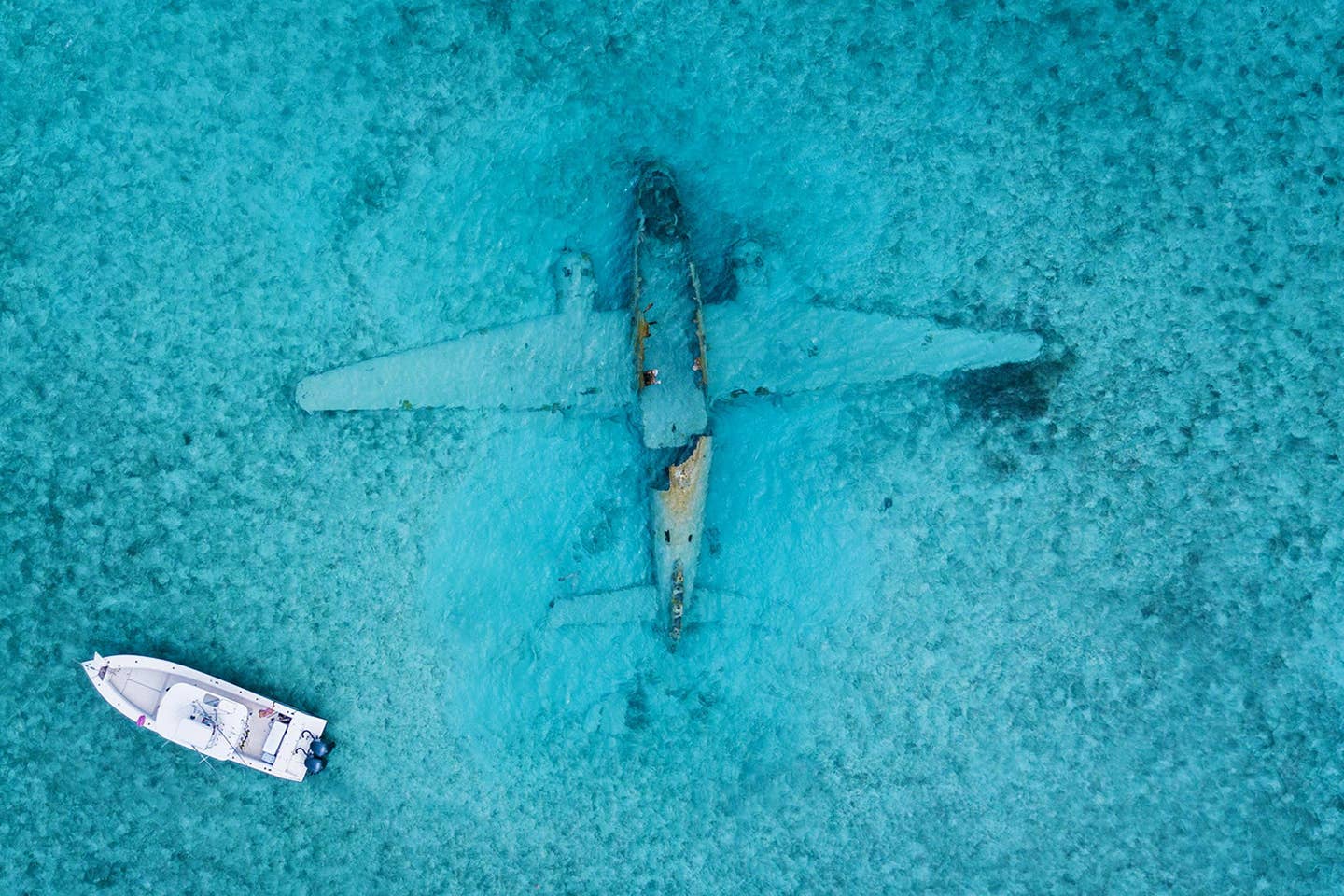
Best practices to plan and prepare for a blue-water ditching and new technologies help to save the lives of pilots and passengers. Francisco Echevarria/Pexels
According to the National Business Aviation Association (NBAA), there are about 2,700 flights that cross the world’s oceans every day. When you’re halfway between continents and your airplane suffers an in-flight emergency, sometimes the only option is to ditch in the angry ocean below. Surviving this kind of “blue water ditching” was the subject of a virtual education session at last week’s NBAA Virtual Business Aviation Conference and Exposition (VBACE).
NBAA put together a panel of experts for a discussion on planning, preparation, and survival that included session moderator Paul Scurio, an international captain with Netflix, Dave Montgomery, author of Blue Water Ditching, and Sean Patrick, general manager of oceanic operations with the Irish Aviation Authority (IAA).
In his book, Blue Water Ditching; Training Professional Crewmembers for the Unthinkable Disaster, author Montgomery explained the situation. “Professional pilots spend years learning all aspects of aviation, but very seldom do crewmembers spend time dealing with the real-time exercise of what is going to happen in a ditching. They learn how to secure a bad engine, how to exit the aircraft in case of a water landing, how to climb into rafts, and in some cases how to climb into a basket for a helicopter pickup. But few crewmembers have ever worked through the complete scenario of maintaining flight in such an emergency, from engine failure at altitude to contact with the water,” the author said. Montgomery points to the 2009 ditching in the Hudson River of US Airways Flight 1549 by Captain Chesley “Sully” Sullenberger and First Officer Jeffrey Skiles as visual proof that an aircraft—in this case, a large passenger jet—can be safely landed on water with no loss of life.
Scurio set up the informative session by stating that “ditching isn’t something that’s typically top of mind for flight crews, because modern aircraft ditchings are extremely rare. “Hopefully, this webinar will make you more aware of things to consider in your over-water flight training and trip preparation and what resources are available. And it’s important to note that ditching and water rescue does not just apply to oceanic flights. It doesn’t matter how far away from land you are. If you land in the water, you will be in a ditching scenario,” he said.
Montgomery presented a wealth of information he has learned from a long career as a retired USAF major and captain for a US fractional ownership company. “Back in the 1950s, 60s and 70s,” Montgomery said, “the cargo companies, the military, the Part 121 carriers, everybody trained for ditching because it happened more often than it does today. Now, we fly airplanes that have engines that seemingly never quit, interiors that won’t catch on fire, fuel tanks that don’t leak, pressurization systems that work, and electrical grids that maintain their integrity. So, the risk of ditching or losing engines out over the water has become very small, and the training for something as big as a blue-water ditching has taken a back seat. I present this information because we all know pilots like to prepare for everything.”
While the entire education session is archived and available for free to NBAA members, Montgomery presented a few tips any pilot flying over open water should know. “When you have an emergency over large bodies of water, be sure to turn on your ELT at the first sign of trouble. While old 121.5 ELTs were line-of-sight radios, today’s ELTs will immediately transmit a signal to satellites, which notify search and rescue of your location. That signal will end up at a Mission Control Center, which monitors where ships are located to speed possible recovery,” he said. Once the ELT has been turned on, Montgomery said crewmembers can then begin assessing other important information, like where to point the airplane in that critical first turn, and how much oxygen is on board for crew and passengers.
Montgomery also described a very useful and relatively new iPad and iPhone app called Ergo Blue. The app is downloaded free, with trial login codes being provided until the end of this year at adsopp.com/nbaa2020. Once a user inputs their “coasting out” airport when headed out over an ocean, and “coasting in” airport on the other side, Ergo Blue then displays every ship beneath the route of flight. Even without onboard Wi-Fi, the app uses artificial intelligence to estimate the ship’s forward position. In the future, Ergo Blue creator Jim Stabile said that with FCC approval, users will be able to use the app to send a data message directly to ships in case of a ditching, with aviation data translated into a familiar format used by mariners to avoid confusion.
While admittedly not a mariner, Montgomery gave some very helpful information on what to expect on the surface of that ocean below. “Swells come from the friction of the wind, and that wind may be hundreds of miles away from where you are. The whitecaps of waves are produced from local winds. It is very important to try to touch down in between or on top of a swell, and those swells can be moving at up to eight knots, so you must maneuver the airplane accordingly as you approach the water by possibly using a rudder skid. You do not want to hit a swell straight on in a high-speed crash. Think of it this way…we can blink our eyes about three times per second. It only takes one blink of your eyes, or one-third of a second, for the paint on your rudder to catch up to the paint on the radome in a high-speed impact. When that happens, everything in between is instantly atomized.”
The IAA’s Patrick spent a good deal of time explaining the space-based Aireon ALERT system now in use globally, operated by IAA. Air navigation service providers (ANSPs), commercial aircraft operators/airlines, regulators and search and rescue organizations can monitor ADS-B Out 1090 MHz-equipped aircraft in real-time to track their most recently-known position. As a free service, Aireon ALERT’s 24/7 communications facility, located at IAA’s North Atlantic Communications Centre in Ballygirreen, Ireland, currently has 394 active registrants representing 119 countries. This includes 145 airlines, 108 ANSPs, 57 search and rescue organizations, 67 regulators, with 59 percent of these based in the United States.
“Before we had space-based satellite ADS-B, there was only 30 percent coverage of the entire globe with surveillance services,” Patrick explained. “Most of those flights were tied to land radars that could only operate up to 250 miles from the coast. What we have now is the opportunity with Aireon is a low-cost surveillance service not limited to line-of-sight that covers the entire globe using 66 satellites that are approximately 500 miles above the surface of the Earth. This has vastly improved coverage especially in the northern and southern hemispheres.”
Patrick said that when compared to ADS-C technology, using a space-based ADS-B satellite system reduces the search footprint dramatically. In a search for a wide-body airplane for instance, Patrick said the possible search area of 151,949 square kilometers with ADS-C would be reduced to only 12 sq km with space-based real-time monitoring technology like Aireon ALERT.

Sign-up for newsletters & special offers!
Get the latest FLYING stories & special offers delivered directly to your inbox


